MyTopo
Classic USGS Miller Mountain West Idaho 7.5'x7.5' Topo Map
Regular price
$16.95
Regular price
Sale price
$16.95
Unit price
per
Couldn't load pickup availability
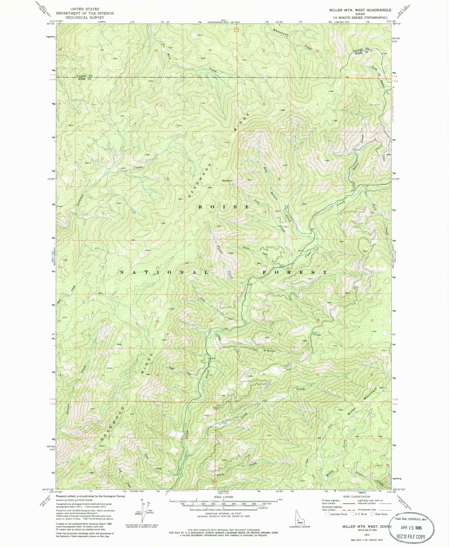
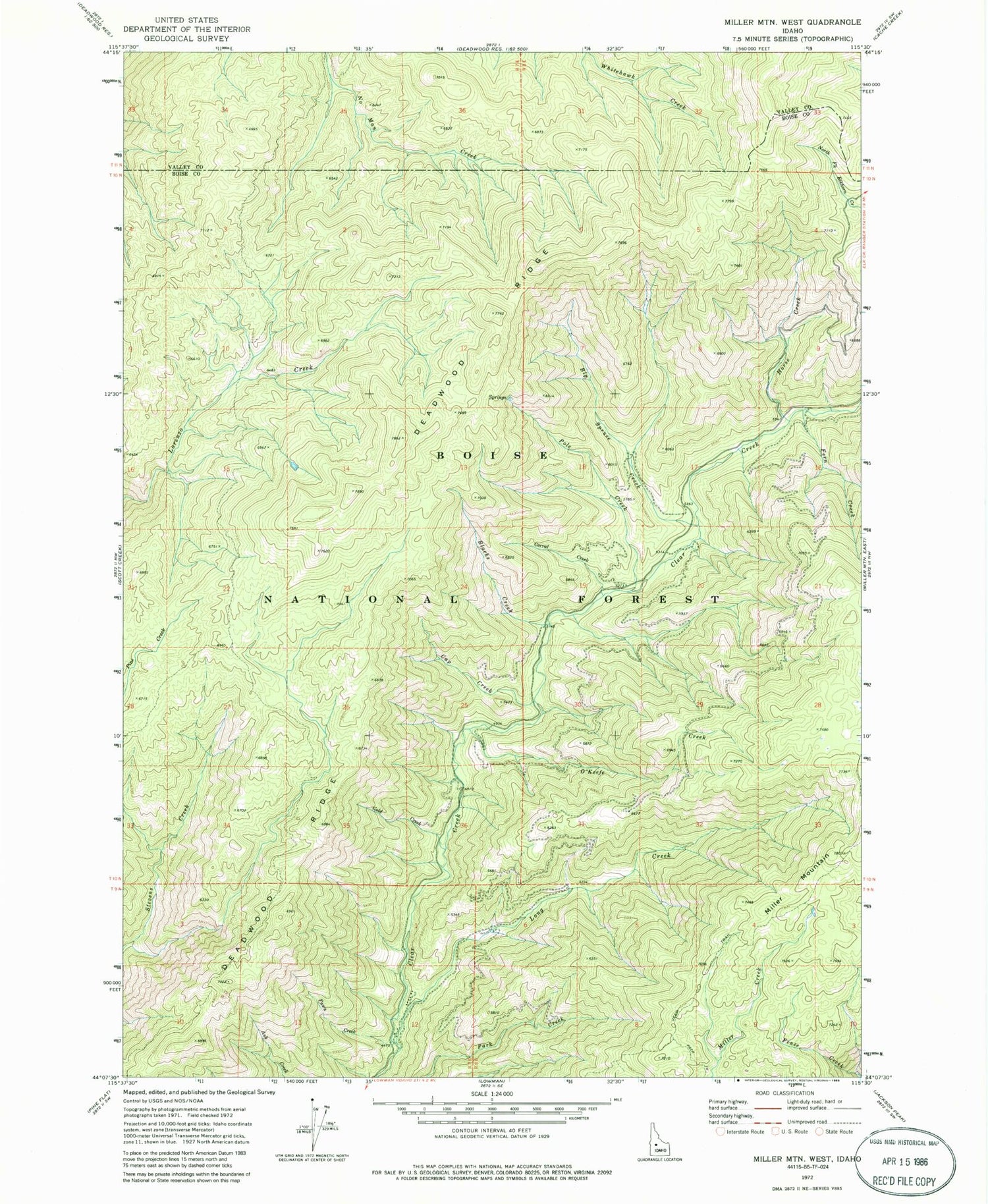
Historical USGS topographic quad map of Miller Mountain West in the state of Idaho. Map scale may vary for some years, but is generally around 1:24,000. Print size is approximately 24" x 27"
This quadrangle is in the following counties: Boise, Valley.
The map contains contour lines, roads, rivers, towns, and lakes. Printed on high-quality waterproof paper with UV fade-resistant inks, and shipped rolled.
Contains the following named places: Big Spruce Creek, Blacks Creek, Corral Creek, Cup Creek, Deadwood Ridge, Fawn Creek, Fern Creek, Gold Creek, Horse Creek, Long Creek, Long Creek Summit Home, O'Keefe Creek, Pole Creek