MyTopo
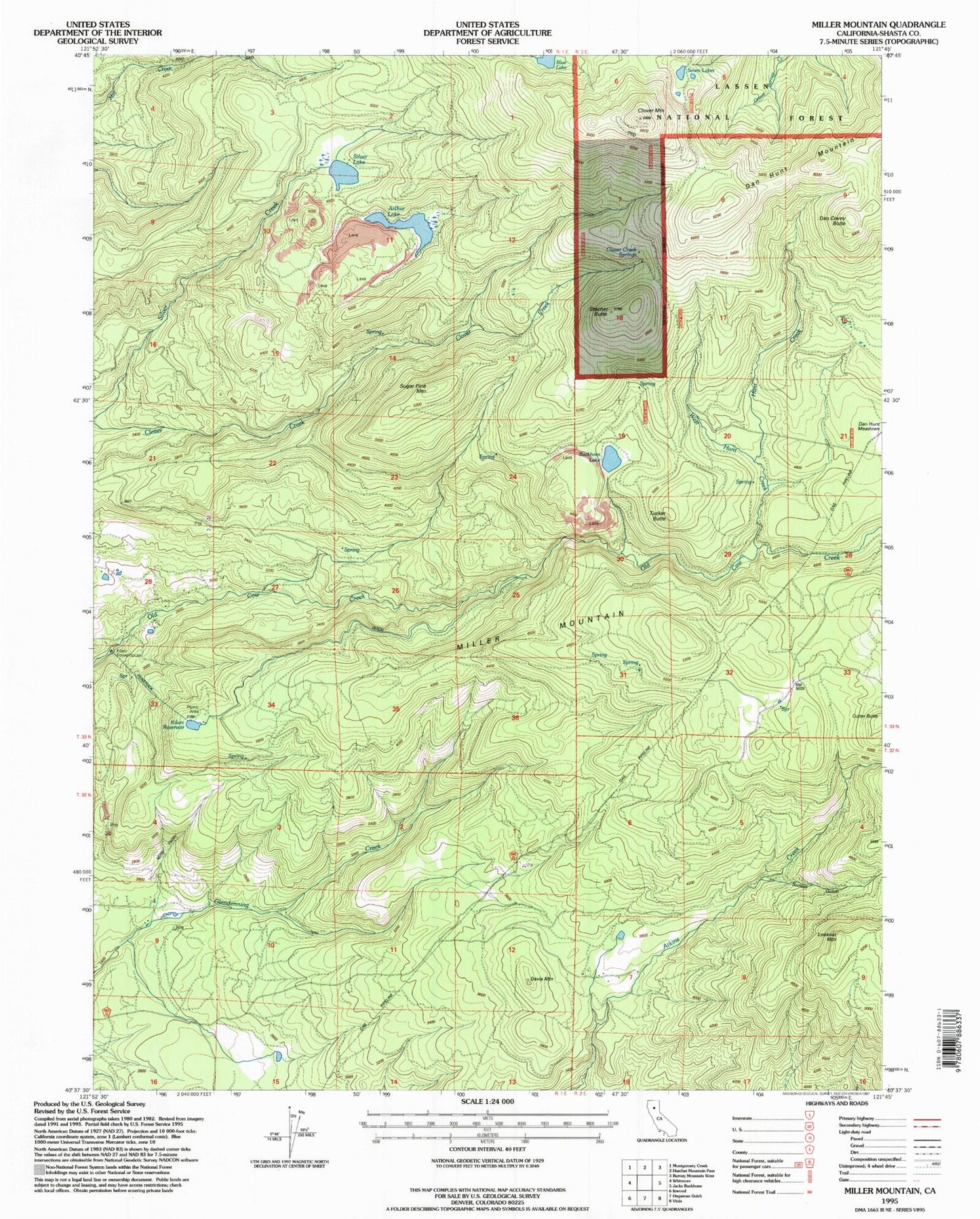
Classic USGS Miller Mountain California 7.5'x7.5' Topo Map
Couldn't load pickup availability
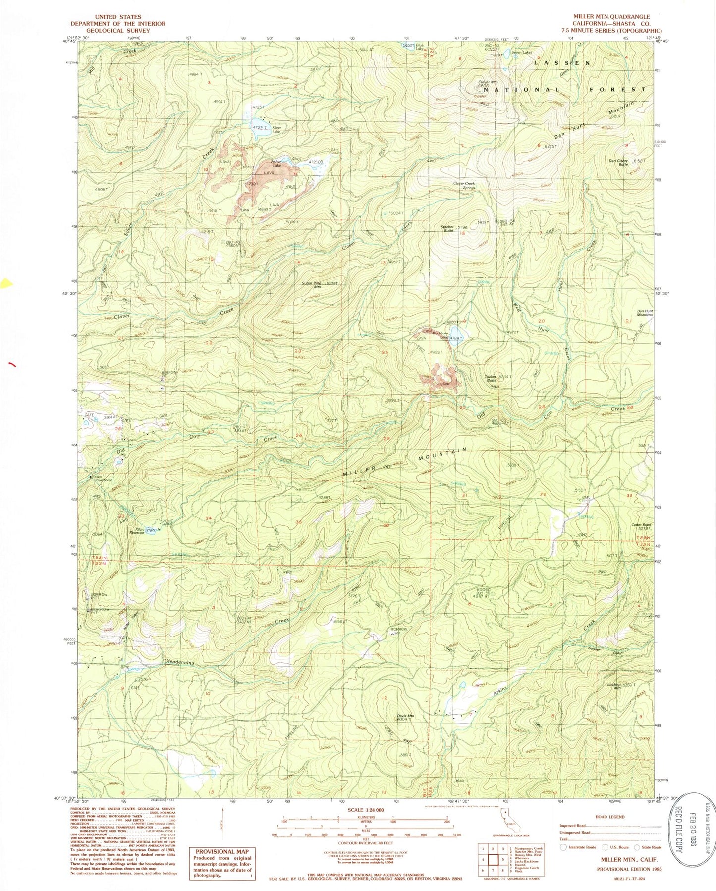
Historical USGS topographic quad map of Miller Mountain in the state of California. Map scale may vary for some years, but is generally around 1:24,000. Print size is approximately 24" x 27"
This quadrangle is in the following counties: Shasta.
The map contains contour lines, roads, rivers, towns, and lakes. Printed on high-quality waterproof paper with UV fade-resistant inks, and shipped rolled.
Contains the following named places: Arthur Lake, Blue Lake, Buckhorn Lake, Clover Creek Springs, Clover Mountain, Cutter Butte, Dan Covey Butte, Dan Hunt Meadows, Davis Mountain, Hunt Creek, Kilarc Reservoir, Lookout Mountain, Miller Mountain, Miller Valley, Mountain Grove School, Seven Lakes, Silver Lake, Stacher Butte, Sugar Pine Mountain, Sunset Gulch, Tucker Butte, West Hunt Creek, ZIP Code: 96096