MyTopo
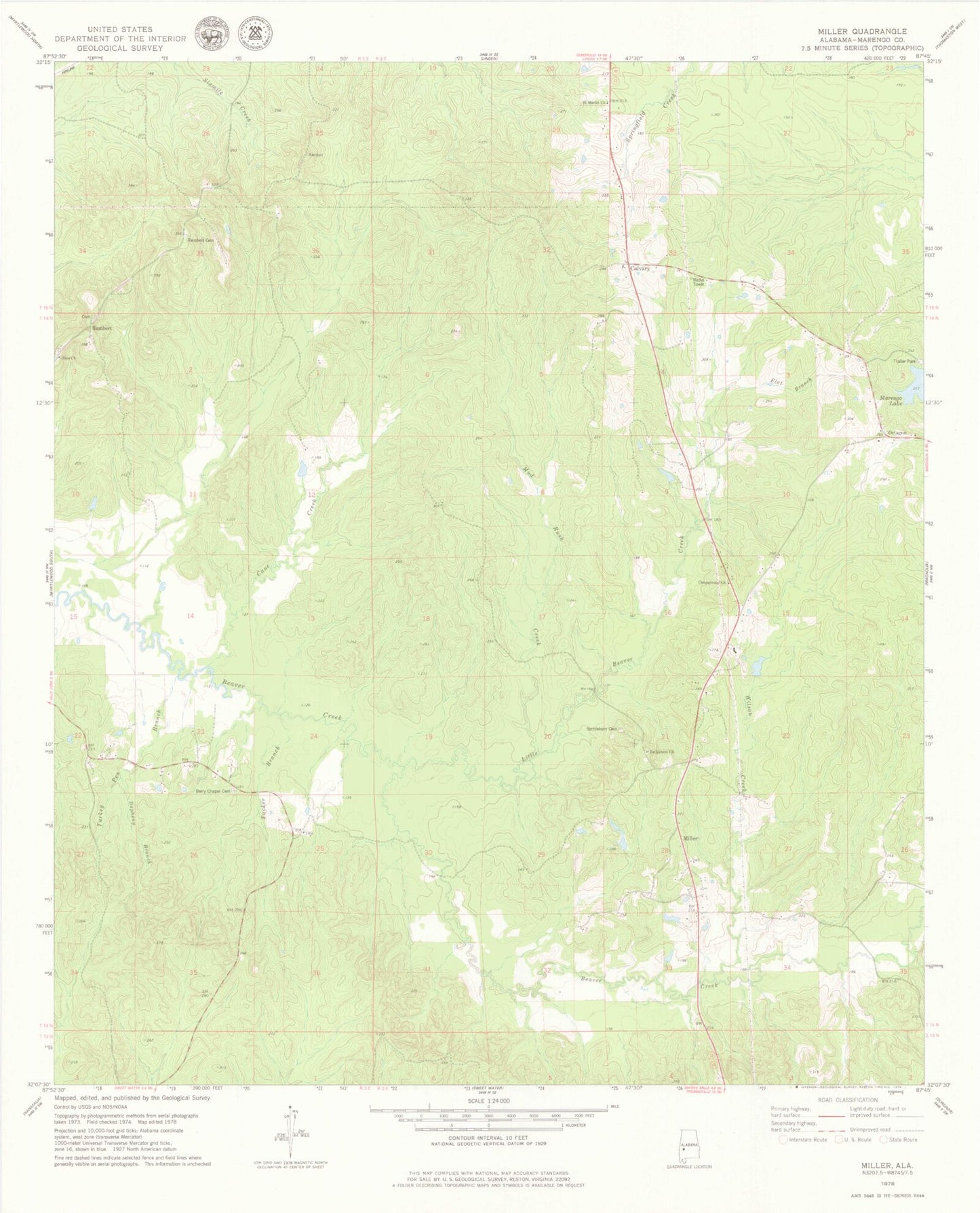
Classic USGS Miller Alabama 7.5'x7.5' Topo Map
Couldn't load pickup availability
Historical USGS topographic quad map of Miller in the state of Alabama. Map scale may vary for some years, but is generally around 1:24,000. Print size is approximately 24" x 27"
This quadrangle is in the following counties: Marengo.
The map contains contour lines, roads, rivers, towns, and lakes. Printed on high-quality waterproof paper with UV fade-resistant inks, and shipped rolled.
Contains the following named places: Bethlehem Baptist Church, Bethlehem Cemetery, Bethlehem Church, Calvary, Calvary Baptist Church, Campground Church, Cane Creek, Cemetery, Dapheny Branch, Flat Branch, Little Beaver Creek, Marengo County, Marengo Lake, Miller, Moss, Mud Rush Creek, Octagon, Octagon Cemetery, Pleasant Ridge Church, Rembert, Rembert Cemetery, Rembert School, Saint Martin Church, Spencerville Post Office, True Light Church, Tucker Branch, Turkey Pen Branch, Wilson Creek, Zion Cemetery, Zion Church