MyTopo
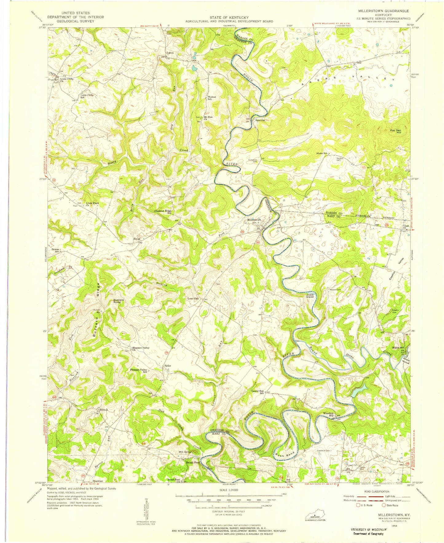
Classic USGS Millerstown Kentucky 7.5'x7.5' Topo Map
Couldn't load pickup availability
Historical USGS topographic quad map of Millerstown in the state of Kentucky. Map scale may vary for some years, but is generally around 1:24,000. Print size is approximately 24" x 27"
This quadrangle is in the following counties: Grayson, Hardin, Hart.
The map contains contour lines, roads, rivers, towns, and lakes. Printed on high-quality waterproof paper with UV fade-resistant inks, and shipped rolled.
Contains the following named places: Akers Valley, Berry Run, Broad Ford, Broad Ford Church, Bush Bend, Buzzard Ridge, Buzzard Roost, Carbytown Cemetery, Cash, Caswell Cemetery, Copelin Cemetery, Copelin Valley, Craddock Cemetery, Dry Run, Fox Den Hill, Hilltop, Joyce Island, Lacon, Laurel Run, Little Clifty Church, Little Flock Church, Lone Oak, Mill Spring, Millerstown, Mount Zion Church, Nichols Lake, Nosey Creek, Phillips Cemetery, Pleasant Valley Church, Riders Mill, Round Stone Creek, Royal, Sinking Fork, Slab Camp Creek, Smith Cemetery, Spike, Spurrier, Wheelers Mill, WJCR-FM (Millerstown), Wooden Cemetery


