MyTopo
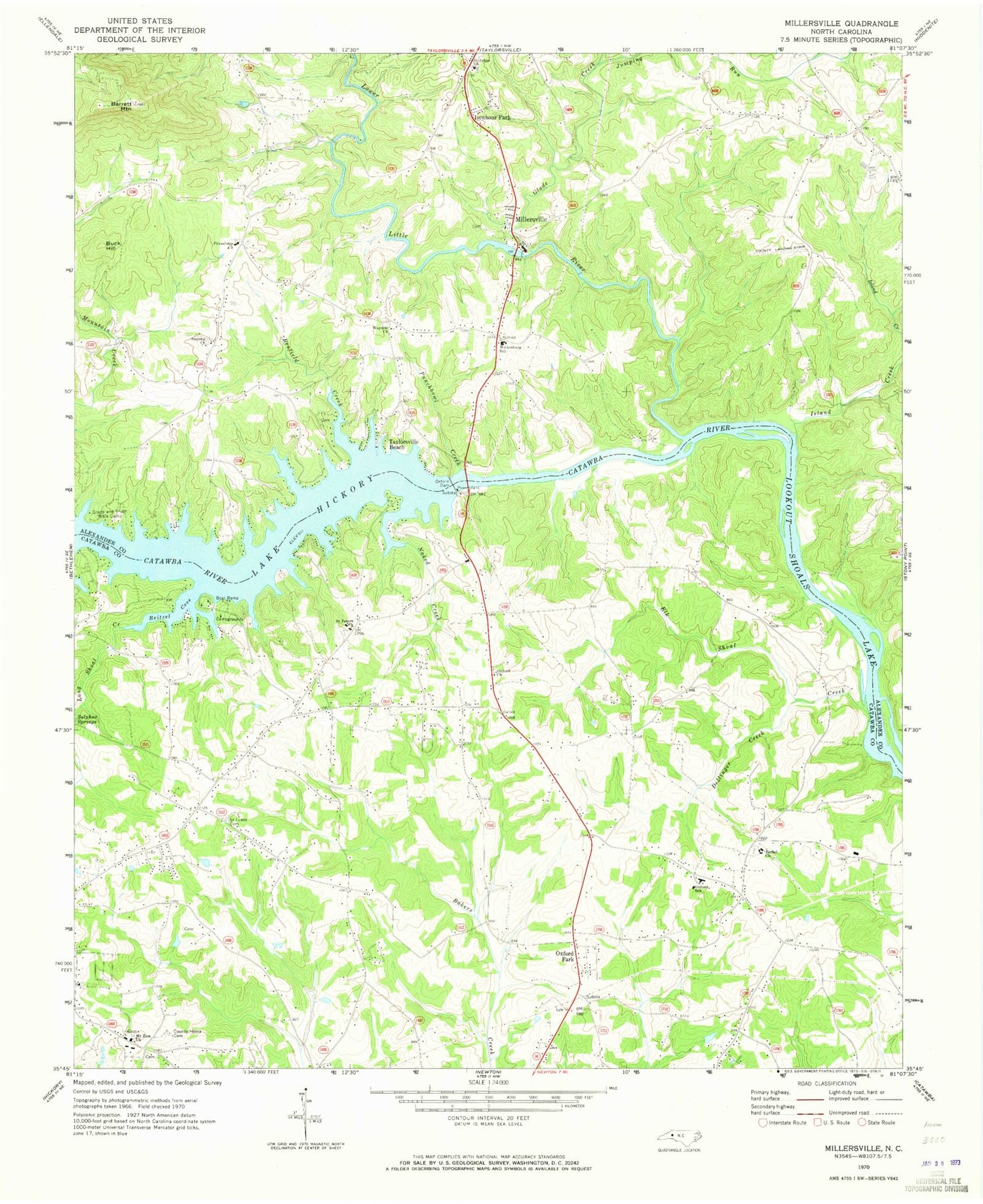
Classic USGS Millersville North Carolina 7.5'x7.5' Topo Map
Couldn't load pickup availability
Historical USGS topographic quad map of Millersville in the state of North Carolina. Map scale may vary for some years, but is generally around 1:24,000. Print size is approximately 24" x 27"
This quadrangle is in the following counties: Alexander, Catawba.
The map contains contour lines, roads, rivers, towns, and lakes. Printed on high-quality waterproof paper with UV fade-resistant inks, and shipped rolled.
Contains the following named places: Alexander County Airport, Barrett Mountain, Benfield Creek, Bethel Church, Buck Hill, Dellinger Creek, Elk Shoal Creek, Friendship Church, Glade Creek, Grace and Truth Bible Camp, Isenhour Park, Island Creek, Jumping Run, Long Shoal Creek, Lower Little River, Millersville, Mount Zion Church, Naked Creek, North State Dam, North State Lake, Oxford Church, Oxford Dam, Oxford Elementary School, Oxford Fire Department Station 2 Catfish Fire District, Oxford Park, Oxford Volunteer Fire Department - Catfish District, Paynes Store, Punchbowl Creek, Ralph Flowers Dam, Ralph Flowers Lake, Reitzel Cove, Saint Johns Church, Saint Lukes Cemetery, Saint Peters Church, Saint Stephens, Saint Stephens Fire Department Station 4 Base 2, Smyrna Church, Sulphur Springs, Taylorsville Beach, Township of Clines, Wayside Church, Wittenburg School, Wittenburg Volunteer Fire Department


