MyTopo
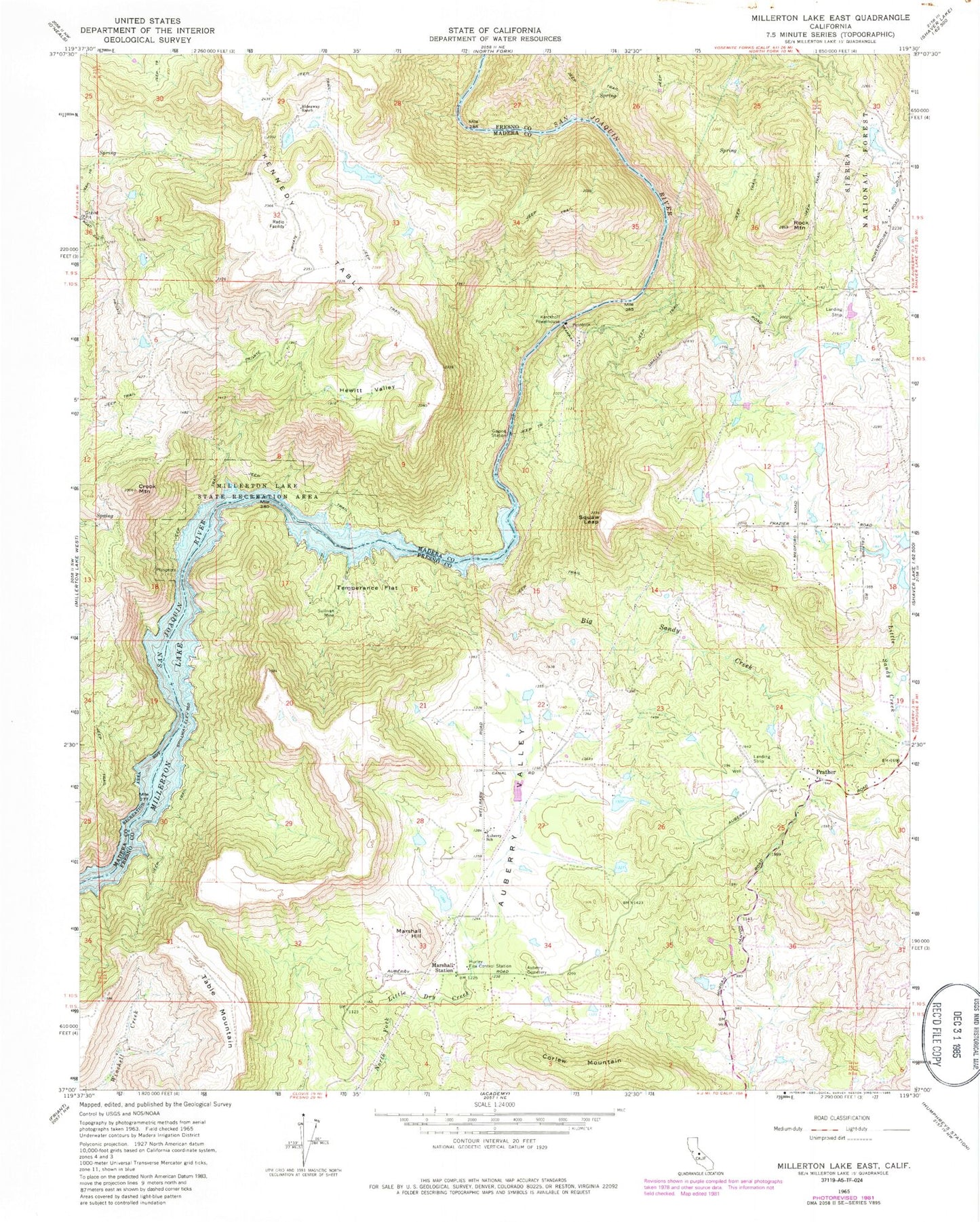
Classic USGS Millerton Lake East California 7.5'x7.5' Topo Map
Couldn't load pickup availability
Historical USGS topographic quad map of Millerton Lake East in the state of California. Typical map scale is 1:24,000, but may vary for certain years, if available. Print size: 24" x 27"
This quadrangle is in the following counties: Fresno, Madera.
The map contains contour lines, roads, rivers, towns, and lakes. Printed on high-quality waterproof paper with UV fade-resistant inks, and shipped rolled.
Contains the following named places: Marshall Station, Auberry Cemetery, Auberry School, Auberry Valley, Big Sandy Creek, Big Sandy Valley, Corlew Mountain, Crook Mountain, Hewitt Valley, Hideaway Ranch, Hurley Fire Control Station, Kennedy Table, Little Sandy Creek, Marshall Hill, Marshall Junction, Millerton Lake, Prather, Rock Mountain, Squaw Leap, Sullivan Mine, Table Mountain, Temperance Flat, San Joaquin River Gorge Management Area, Topham Ranch-Auberry Airport (historical), Kerchoff Powerhouse, CAL FIRE / Fresno County Fire Protection District Hurley Station 73, Prather Post Office


