MyTopo
Classic USGS Millerton Lake West California 7.5'x7.5' Topo Map
Couldn't load pickup availability
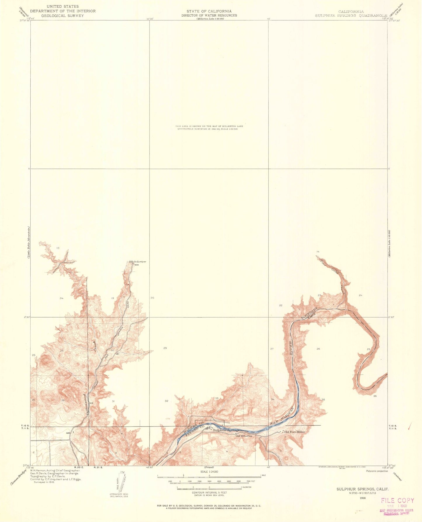
Historical USGS topographic quad map of Millerton Lake West in the state of California. Map scale may vary for some years, but is generally around 1:24,000. Print size is approximately 24" x 27"
This quadrangle is in the following counties: Fresno, Madera.
The map contains contour lines, roads, rivers, towns, and lakes. Printed on high-quality waterproof paper with UV fade-resistant inks, and shipped rolled.
Contains the following named places: Bellview, Berry Hill, Big Bend, Buzzards Roost Trail, Douglas Ranch, Dumna Cove, Dumna Island, Dumna Strand Campground, East Bay, Fine Gold Creek, Finegold Bay, Fort Miller, Fort Miller Campground, Friant Dam, Hildreth, Hildreth Mountain, Hills Cove, Hulbert Mountain, Indian Springs, J McDougal Ranch, Kechaye Cultural Preserve, McKenzie Point, Meadow Campground, Millerton Lake State Recreation Area, Millerton Ridge, Mono Campground, N McDougal Ranch, O'Neal Ranch, Perkins West Peak, Pincushion Mountain, Rocky Point Campground, San Joaquin Experimental Range, South Finegold Picnic Area, Spring Valley School, Taylors Pit, Tick-Tack-Toe Hill, United States Forest Service Headquarters, Valley Oak Campground, Willow Creek, Winchell Bay, ZIP Code: 93626