MyTopo
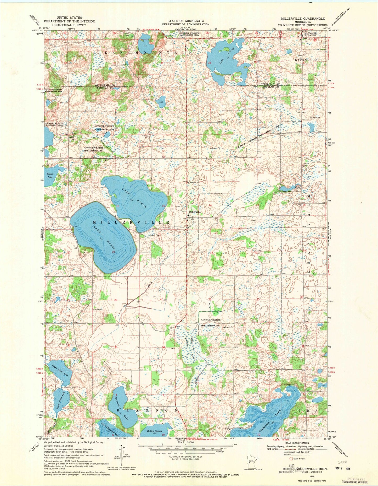
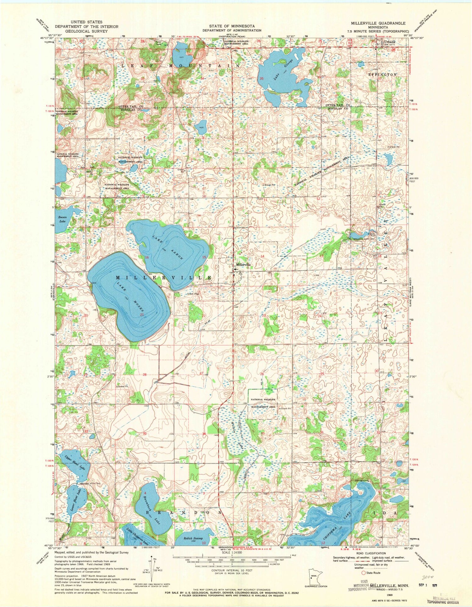
Classic USGS Millerville Minnesota 7.5'x7.5' Topo Map
Couldn't load pickup availability
Historical USGS topographic quad map of Millerville in the state of Minnesota. Map scale may vary for some years, but is generally around 1:24,000. Print size is approximately 24" x 27"
This quadrangle is in the following counties: Douglas, Otter Tail.
The map contains contour lines, roads, rivers, towns, and lakes. Printed on high-quality waterproof paper with UV fade-resistant inks, and shipped rolled.
Contains the following named places: Anderson Lake, Anderson Lake Dam, Baumbach Lake, Boesen Lake, City of Millerville, City of Urbank, County Ditch Number Fourteen, County Ditch Number Sixty, Lake Aaron, Lake George, Lake Moses, Lower Hunt Lake, Millerville, Millerville Cemetery, Millerville Fire Department, Millerville Post Office, Millerville Sportsman Group Wildlife Structure Dam, Pine Ridge Golf Course, Redick Swamp, Sacred Heart Catholic Church, Sacred Heart Catholic Church Cemetery, Township of Millerville, Trinity Cemetery, Trinity Church, Upper Hunt Lake, Upper Hunt Lake Dam, Urbank, Urbank Post Office, Wilken Lake


