MyTopo
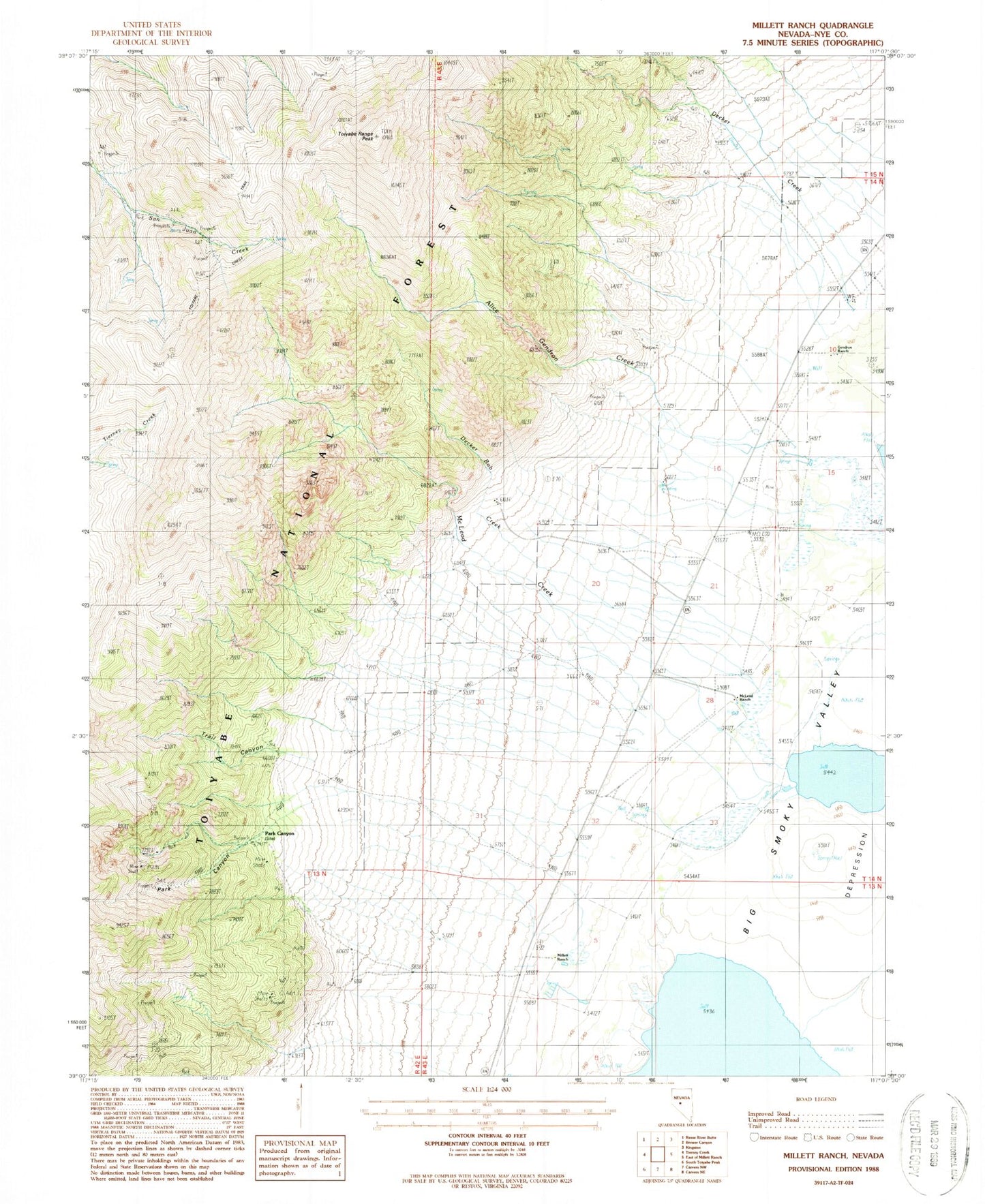
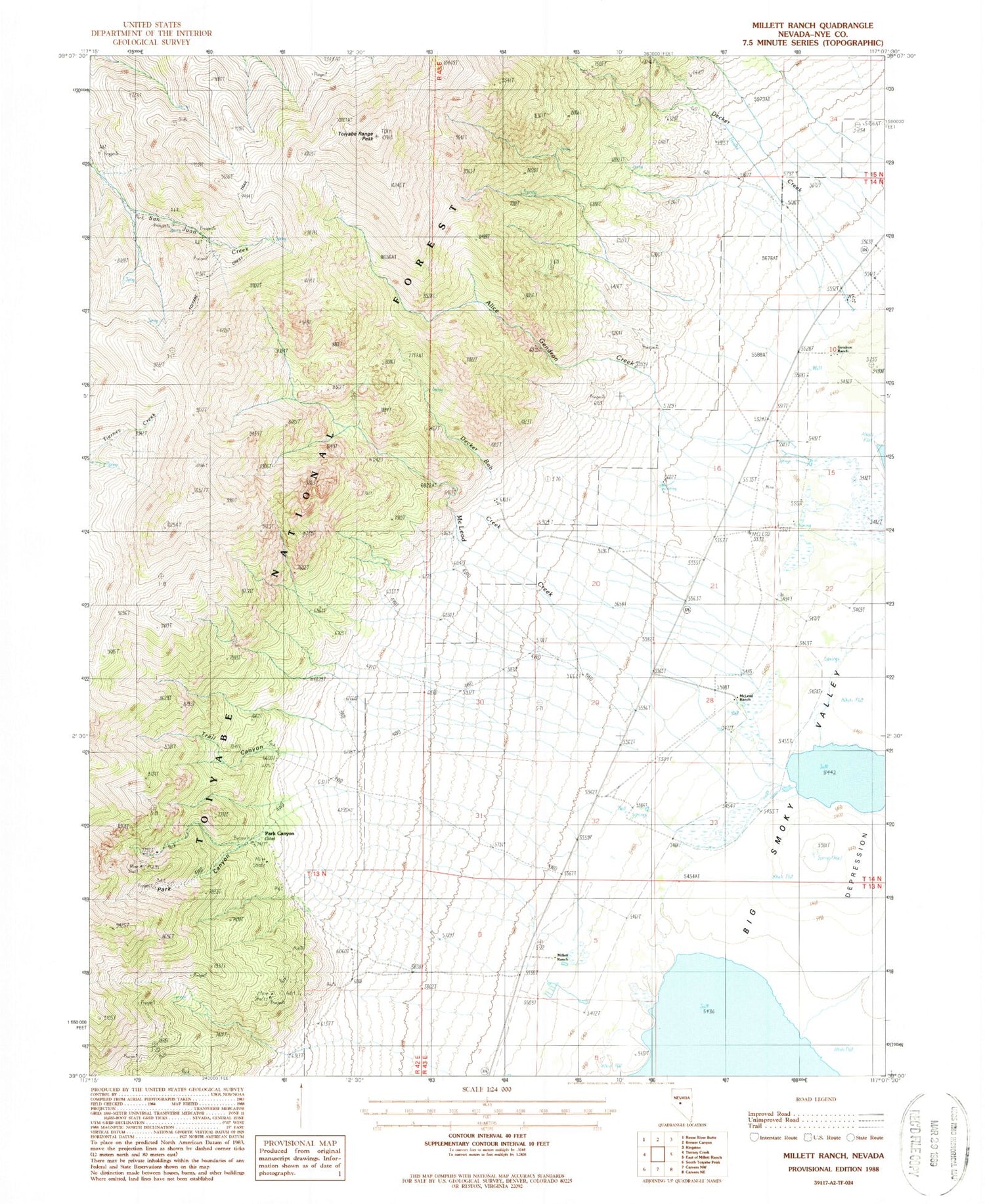
Classic USGS Millett Ranch Nevada 7.5'x7.5' Topo Map
Couldn't load pickup availability
Historical USGS topographic quad map of Millett Ranch in the state of Nevada. Map scale may vary for some years, but is generally around 1:24,000. Print size is approximately 24" x 27"
This quadrangle is in the following counties: Nye.
The map contains contour lines, roads, rivers, towns, and lakes. Printed on high-quality waterproof paper with UV fade-resistant inks, and shipped rolled.
Contains the following named places: Alice Gendron Creek, Blue Spring, Cooper Incorporated Ranch, Decker Bob Creek, Decker Creek, Fremont Route, Gendron Ranch, Giant Mine, Gold Pocket Mine, Grandview Mine, Indian Ranch, Junction, Junction Post Office, McIntyre Mine, McLeod Creek, McLeod Ranch, McLeods Ranch Spring, Millett, Millett Mine, Millett Post Office, Millett Ranch, Park Canyon, Park Canyon Post Office, Pueblo, Saint Elena Patent, San Juan, Star Number One Mine, Timblin Creek, Toiyabe Crest Trail, Toiyabe Range Peak, Trail Canyon, Tungsten King Mine, Valley View and Foothill Mine, Viken Mine