MyTopo
Classic USGS Millheim Pennsylvania 7.5'x7.5' Topo Map
Couldn't load pickup availability
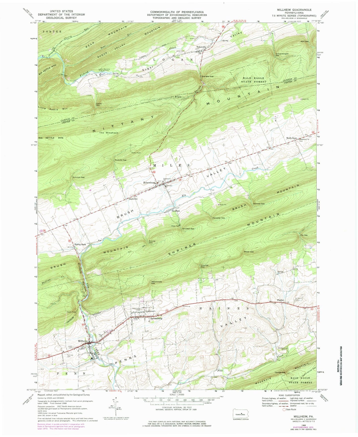
Historical USGS topographic quad map of Millheim in the state of Pennsylvania. Map scale may vary for some years, but is generally around 1:24,000. Print size is approximately 24" x 27"
This quadrangle is in the following counties: Centre, Clinton.
The map contains contour lines, roads, rivers, towns, and lakes. Printed on high-quality waterproof paper with UV fade-resistant inks, and shipped rolled.
Contains the following named places: Aaronsburg, Aaronsburg Census Designated Place, Aaronsburg Post Office, Aaronsburg Reformed Cemetery, Aaronsburg Salem Lutheran Cemetery, Bear Run, Bletz Hollow, Borough of Millheim, Brooks Airport, Brush Mountain, Cherry Run, Colvey Gap, Colvey Narrows, Detweiler Gap, Emmanuel Church, Fairview Cemetery, Fiedler, Fox Gap, Gramley Gap, Kreamer Gap, Krouse Gap, Little Kettle Mountain, Lose School, Miles Township Fire Company 19, Milheim Narrows, Millheim, Millheim Fire Company 18, Millheim Post Office, Missionary Church, Phillips Creek, Rebersburg, Rebersburg Census Designated Place, Rebersburg Post Office, Rockville, Rockville Gap, Saint Pauls Union Cemetery, Saint Peters Lutheran and Reformed Cemetery, Salem Church, Schreckengast Gap, Schroyer Gap, Seven Spring, Smullton, Smullton Gap, Spangler Gap, Spring Bank, State Game Lands Number 295, Stover Cemetery, Stover Gap, Sugar Valley, The Winehead, Township of Logan, Tylersville, Tylersville Census Designated Place, Tylersville Evangelical Cemetery, Tylersville Lutheran and Reformed Cemetery, Tylersville Spring, Union Cemetery, Waterhouse Gap, Willowby Farm, Wolf Gap, Wolfs Chapel, Wolfs Store, Youngs Gap, ZIP Codes: 16820, 16854


