MyTopo
Classic USGS Millhousen Indiana 7.5'x7.5' Topo Map
Couldn't load pickup availability
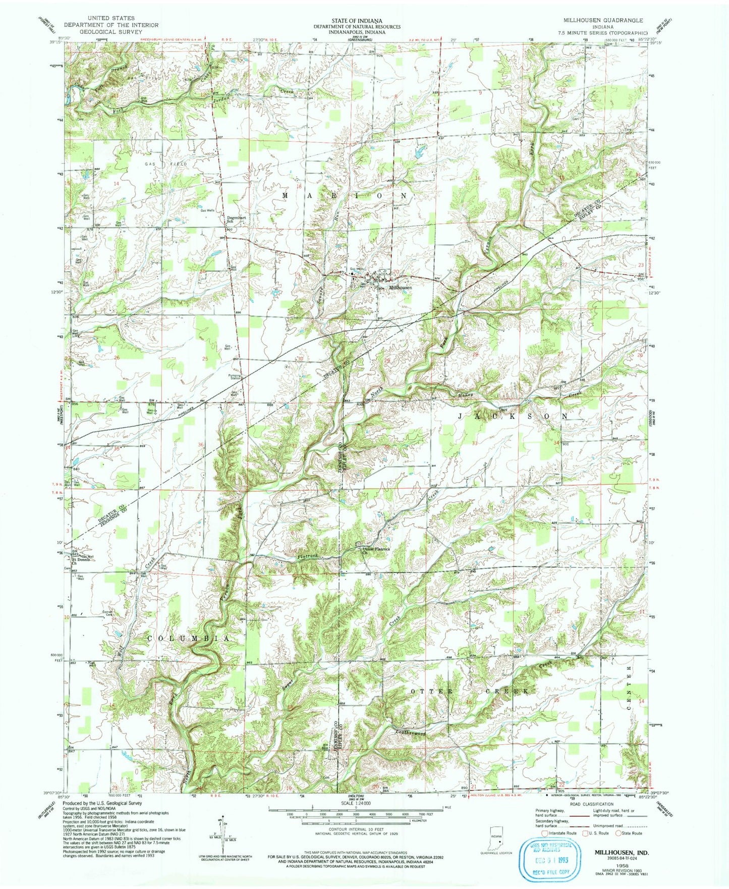
Historical USGS topographic quad map of Millhousen in the state of Indiana. Map scale may vary for some years, but is generally around 1:24,000. Print size is approximately 24" x 27"
This quadrangle is in the following counties: Decatur, Jennings, Ripley.
The map contains contour lines, roads, rivers, towns, and lakes. Printed on high-quality waterproof paper with UV fade-resistant inks, and shipped rolled.
Contains the following named places: Cornell Cemetery, Degenhart School, Fall Branch, Flatrock Creek, Honey Creek, Jordan Creek, Lock Spring, Lock Spring Post Office, Millhousen, Millhousen - Marion Township Volunteer Fire Department, Saint Dennis Church, Square Run, Town of Millhousen, Township of Marion, Union Flatrock Church, Wolf Creek