
MyTopo
Classic USGS Mills Utah 7.5'x7.5' Topo Map
Regular price
$16.95
Regular price
Sale price
$16.95
Unit price
per
Couldn't load pickup availability
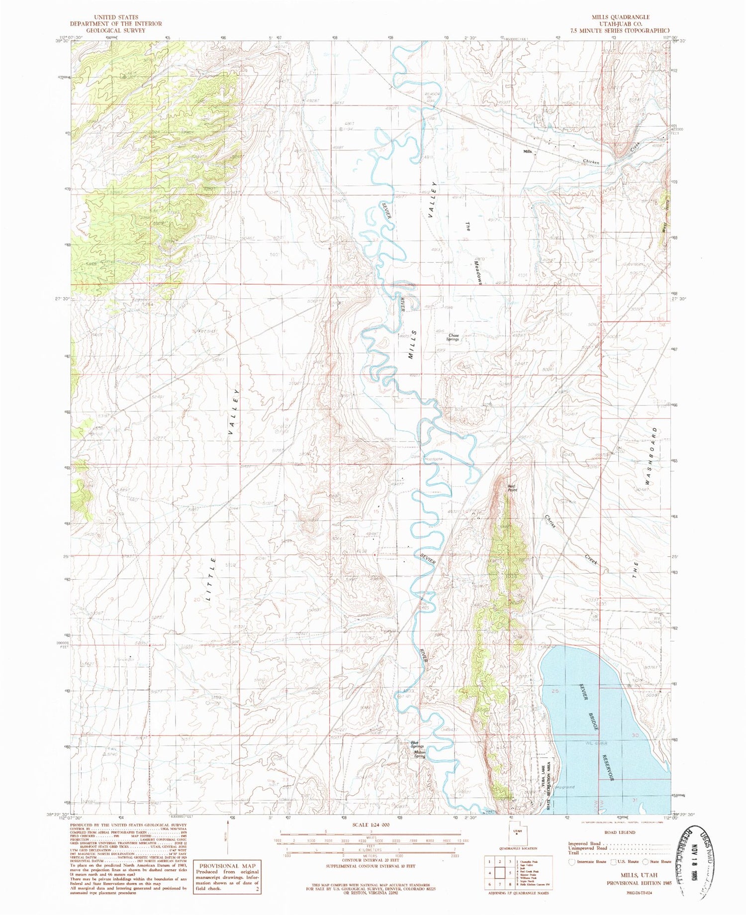
Historical USGS topographic quad map of Mills in the state of Utah. Map scale may vary for some years, but is generally around 1:24,000. Print size is approximately 24" x 27"
This quadrangle is in the following counties: Juab.
The map contains contour lines, roads, rivers, towns, and lakes. Printed on high-quality waterproof paper with UV fade-resistant inks, and shipped rolled.
Contains the following named places: Badeau Ridge, Blue Springs, Chase Springs, Chicken Creek, Chriss Creek, Little Valley, Mills, Mills Cemetery, Mills Meadows Waterfowl Management Area, Mills Valley, Molten Spring, Red Point, The Meadows, Yuba Campground, Yuba Lake State Recreation Area


