MyTopo
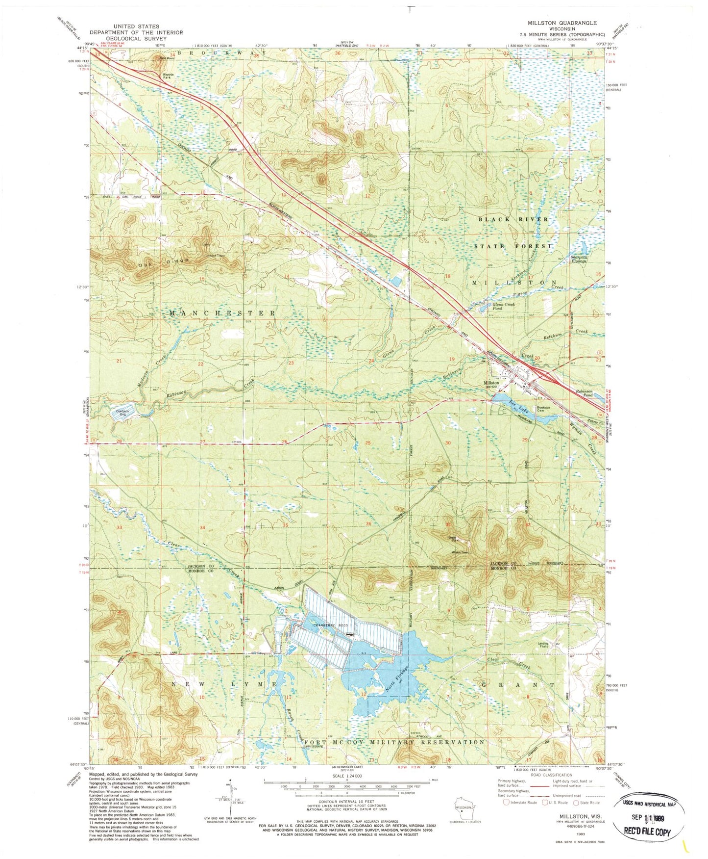
Classic USGS Millston Wisconsin 7.5'x7.5' Topo Map
Couldn't load pickup availability
Historical USGS topographic quad map of Millston in the state of Wisconsin. Typical map scale is 1:24,000, but may vary for certain years, if available. Print size: 24" x 27"
This quadrangle is in the following counties: Jackson, Monroe.
The map contains contour lines, roads, rivers, towns, and lakes. Printed on high-quality waterproof paper with UV fade-resistant inks, and shipped rolled.
Contains the following named places: Brookside Cemetery, Glenn Creek, Ketchum Creek, Lee Lake, Millston, Pigeon Creek, Ranch Creek, Zahrte Creek, Sharptail Flowage, Stanton Creek, Wyman Creek, Oak Ridge Fire Tower, Millston Dam, Lee Lake 15, Janke WP 445 Dam, 60 Reservoir, Habelman Dam, 10 Reservoir, Habelman Dam, 10 Reservoir, Glenn Creek Pond, Madison Creek, Lees Crossing, North Flowage, Robinson Creek Pines State Natural Area, Washburn Marsh State Natural Area, Millston Census Designated Place, Millston Post Office


