MyTopo
Classic USGS Millstone Lake North Carolina 7.5'x7.5' Topo Map
Couldn't load pickup availability
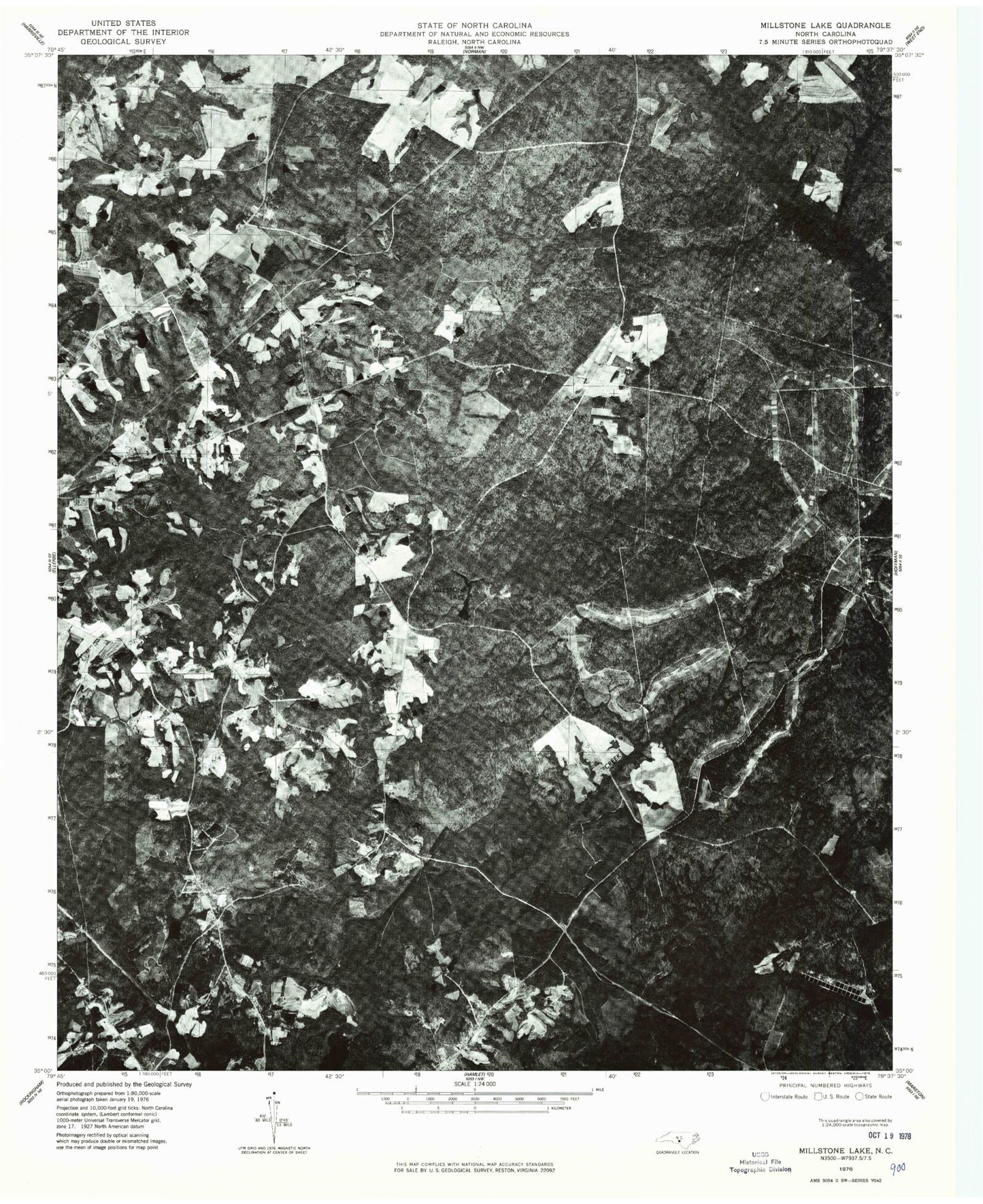
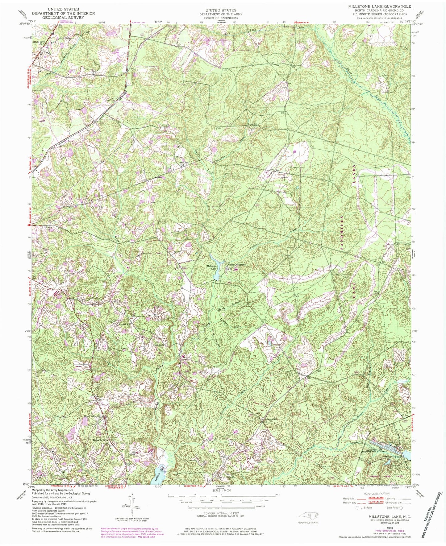
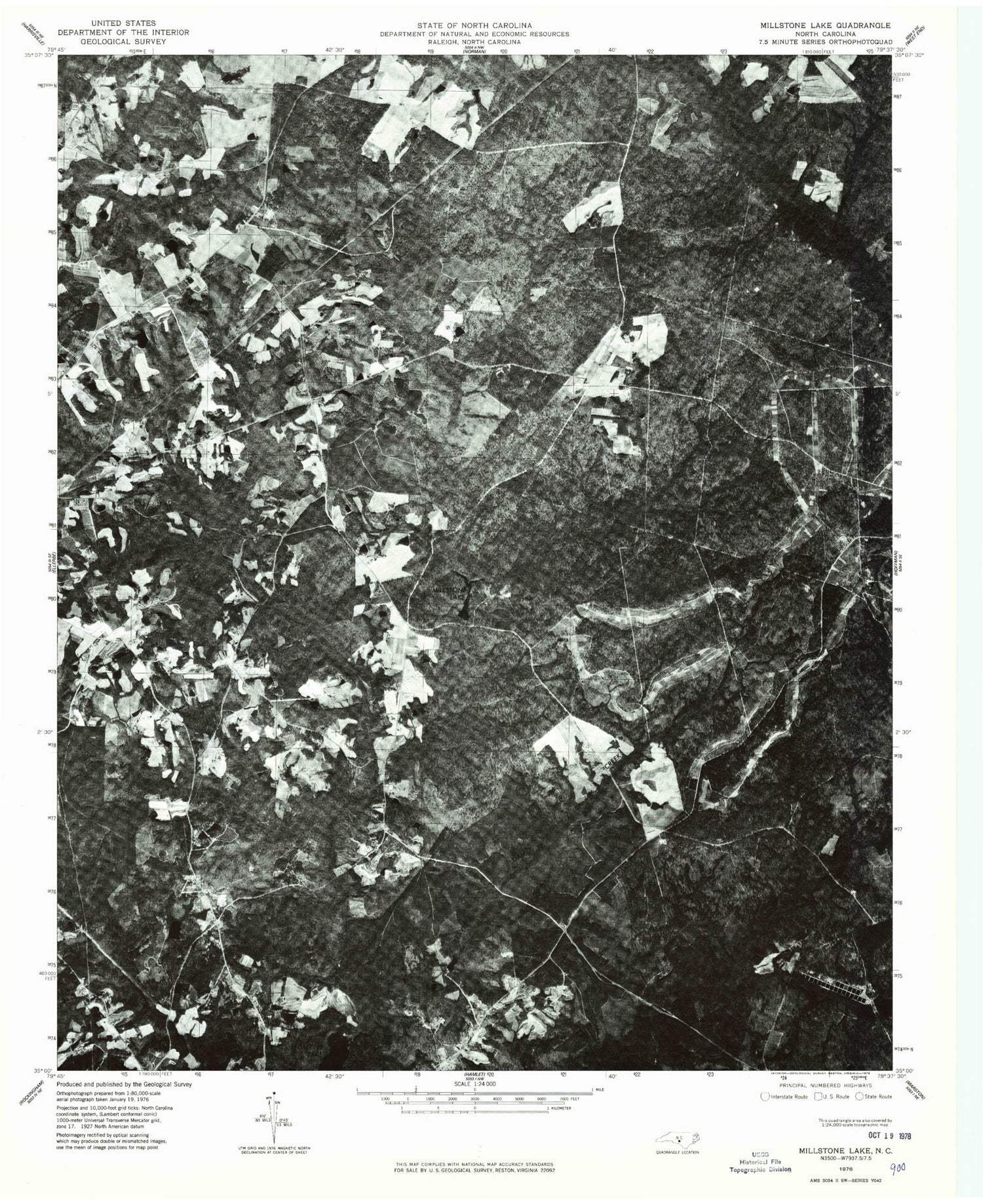
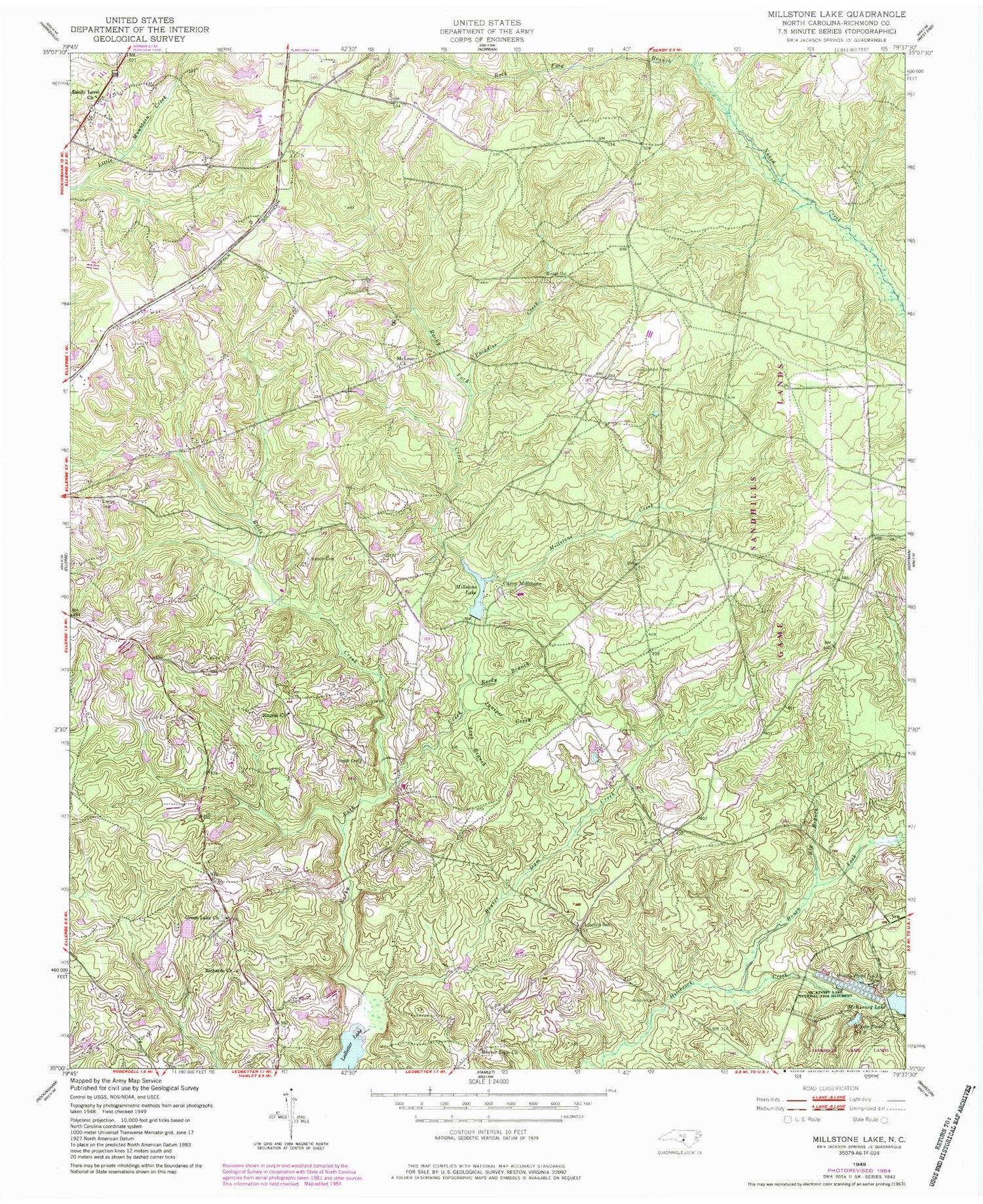
Historical USGS topographic quad map of Millstone Lake in the state of North Carolina. Typical map scale is 1:24,000, but may vary for certain years, if available. Print size: 24" x 27"
This quadrangle is in the following counties: Richmond.
The map contains contour lines, roads, rivers, towns, and lakes. Printed on high-quality waterproof paper with UV fade-resistant inks, and shipped rolled.
Contains the following named places: Beaver Dam Church, Beaver Dam Creek, Bells Creek, Big Branch, Bones Fork, Camp Millstone, Ellerbe Cemetery, Gibson Cemetery, Gibson Cemetery, Green Lake Church, Juniper Creek, Lincoln School, Line Branch, McLean Church, Millstone Creek, Millstone Lake, Paradise Creek, Reedy Branch, Richards Church, Rocky Ford Branch, Rourks Church, Sandy Level Church, Watson Cemetery, McKinney Lake Dam, Green Lake Acres Pond Dam, Green Lake Acres Pond, Richmond County, Woods Pond Number 1, Woods Pond Number 2, Township of Mineral Springs, Beaver Dam Cemetery, Green Lake Cemetery, McLean Cemetery, Rourks Cemetery


