MyTopo
Classic USGS Millstone West Virginia 7.5'x7.5' Topo Map
Couldn't load pickup availability
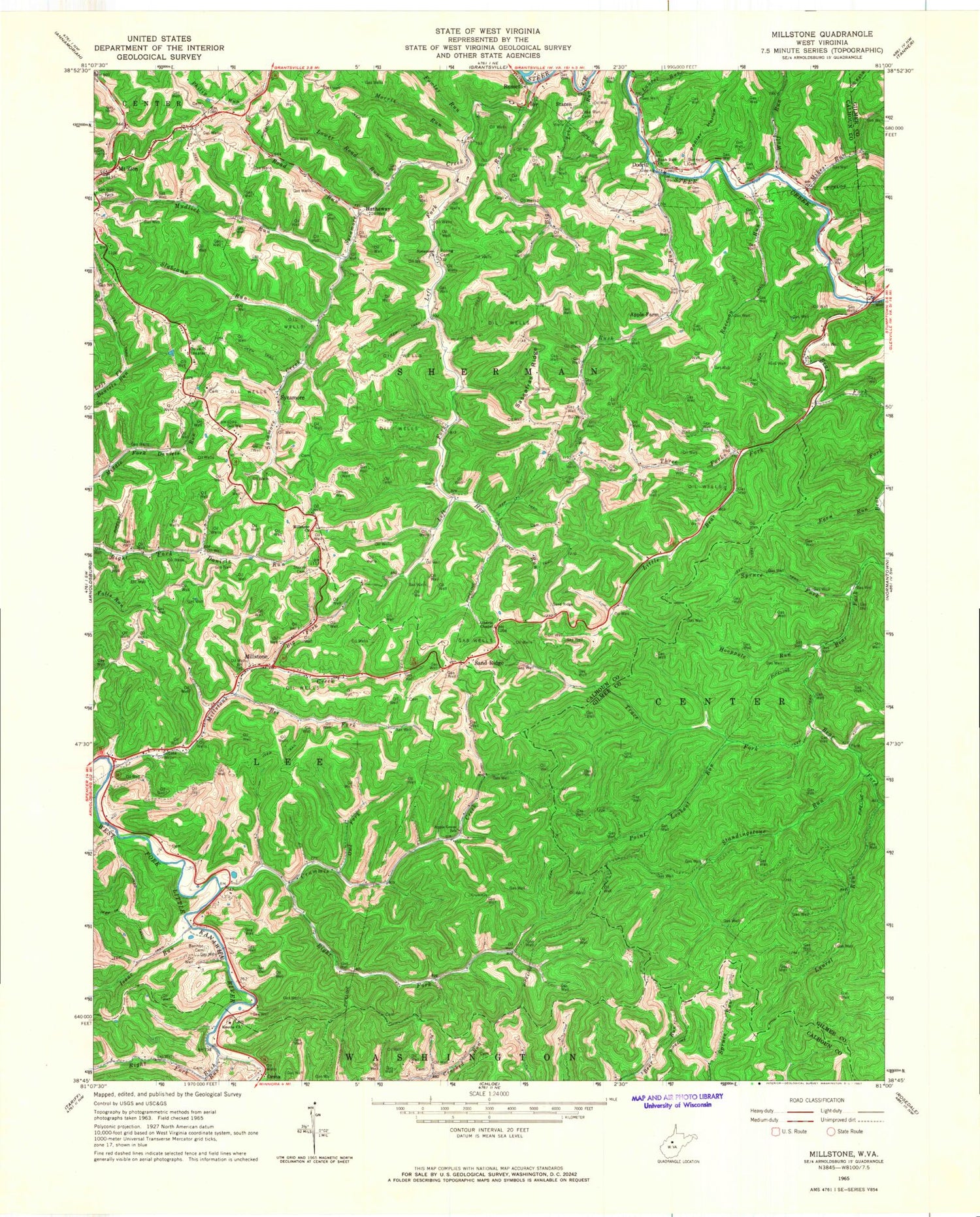
Historical USGS topographic quad map of Millstone in the state of West Virginia. Typical map scale is 1:24,000, but may vary for certain years, if available. Print size: 24" x 27"
This quadrangle is in the following counties: Calhoun, Gilmer.
The map contains contour lines, roads, rivers, towns, and lakes. Printed on high-quality waterproof paper with UV fade-resistant inks, and shipped rolled.
Contains the following named places: Alberts Chapel, Apple Farm, Apple Grove School (historical), Bannon Cemetery, Bear Fork, Bee Fork, Bennett Cemetery, Big Fork, Big Run, Crummis Creek, Fern Run, Fowler Run, Hog Run, Hooppole Run, Isaac Run, Knotts Baptist Church, Laurel Run, Laurel Run, Left Fork Daniels Run, Left Fork Rush Run, Left Fork Sycamore Creek, Leke Run, Little Bear Fork, Little Laurel Run, Lower Road Run, Mikes Run, Millstone Church, Millstone Creek, Morris Run, Mudlick Run, Owl Fork, Point Lookout Run, Poplar Hollow, Raccoon Run, Right Fork Crummis Creek, Right Fork Rush Run, Road Run, Roling Cemetery, Rush Run, Rush Run, Rush Run Church, Sassafras Ridge, Slabcamp Run, Spruce Fork, Standingstone Run, Steer Creek, Sturm Cemetery, Sycamore Church, Sycamore Creek, Three Forks, Trace Fork, Wolf Run, Zeke Run Cemetery, Hathaway, Mount Zion, Dodrill, Millstone, Russet, Sand Ridge, Staten, Sycamore, Barr Cemetery, Barr School (historical), Cabin Ridge School (historical), Carpenter Cemetery, Elm Fall School (historical), Knight School (historical), Knotts Cemetery, Mace Cemetery, Millstone Post Office, Mount Zion Post Office, Poling Run (historical), Sand Ridge Cemetery, Sand Ridge Post Office, Snakeroot School (historical), Sylvester Stump Cemetery, Calhoun County, Orma Post Office, Zeke Run, District 2, Calhoun Middle - High School, Calhoun County Park, Calhoun County Emergency Medical Services Station 400, Sycamore Baptist Cemetery


