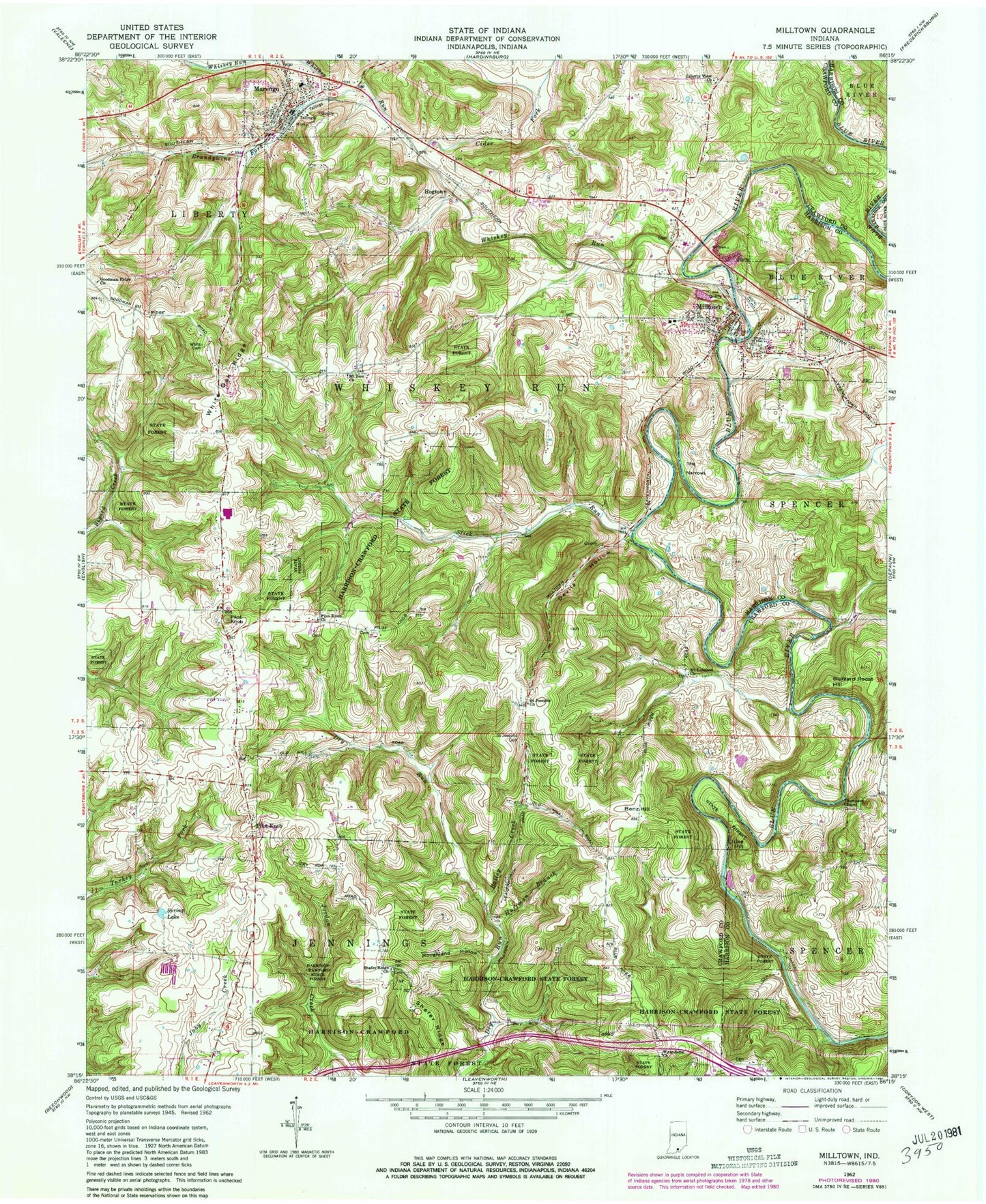
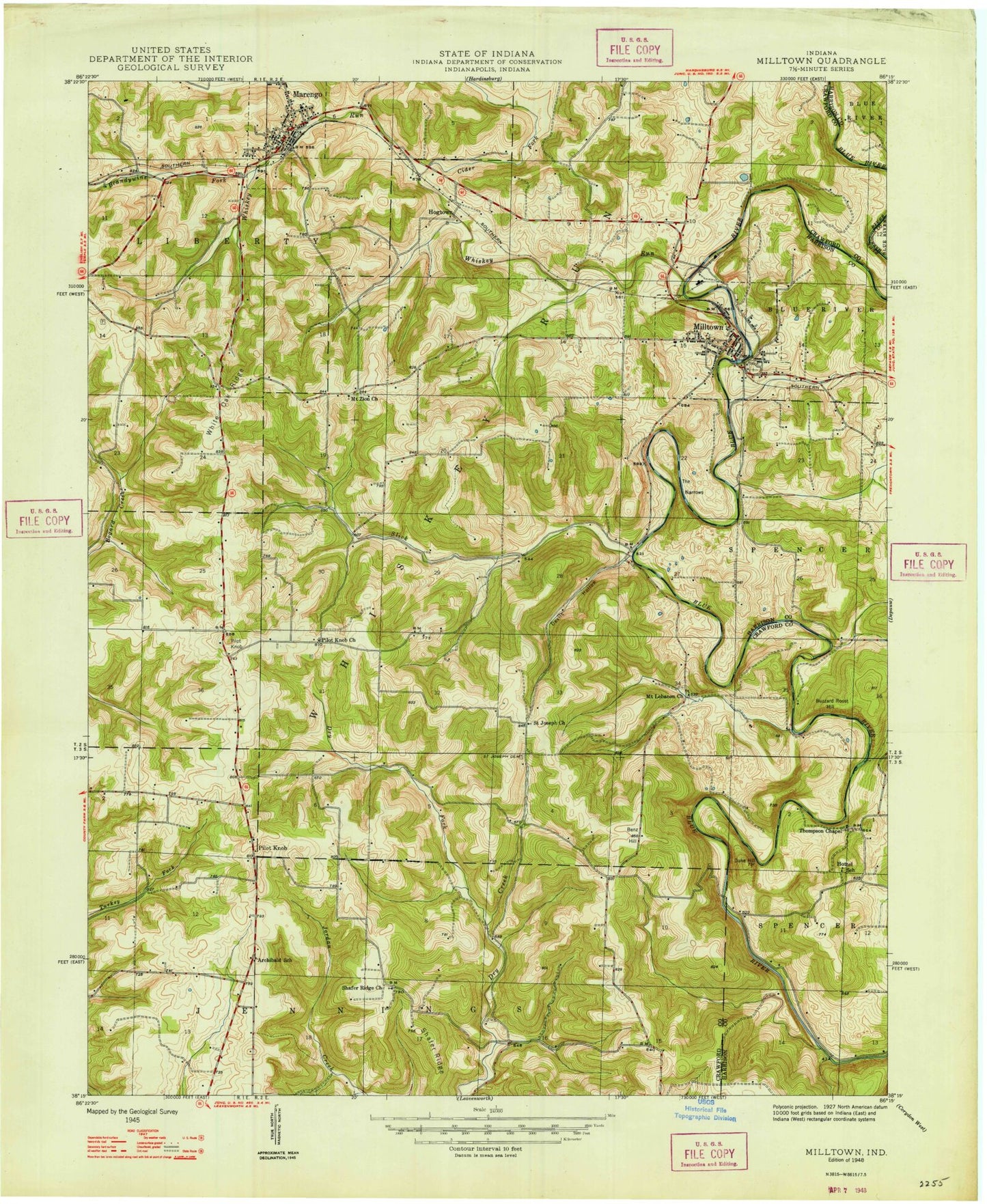
MyTopo
Classic USGS Milltown Indiana 7.5'x7.5' Topo Map
Couldn't load pickup availability
Historical USGS topographic quad map of Milltown in the state of Indiana. Typical map scale is 1:24,000, but may vary for certain years, if available. Print size: 24" x 27"
This quadrangle is in the following counties: Crawford, Harrison.
The map contains contour lines, roads, rivers, towns, and lakes. Printed on high-quality waterproof paper with UV fade-resistant inks, and shipped rolled.
Contains the following named places: Bailey Creek, Benz Hill, Brandywine Fork, Buzzard Roost Hill, Devils Hollow, Duke Hill, Goodman Ridge Church, Hogtown, Houghland Hollow, Huffman Branch, Liberty View Church, Milltown, Mount Lebanon Church, Mount Zion Church, Pilot Knob, Pilot Knob Church, Saint Josephs Cemetery, Saint Josephs Church, Shafer Ridge, Shafer Ridge Church, Slick Run, Spring Lake, The Narrows, Thompson Chapel, White Cemetery, White Oak Ridge, Wyandotte Church, Milltown School, Pilot Knob, Sharps Mill, Cider Fork, Marengo, Whiskey Run, Wynnsboro (historical), Carefree, Sharps Mill Post Office (historical), Township of Liberty, Township of Whiskey Run, Town of Marengo, Town of Milltown, Marengo Liberty Township Volunteer Fire Department, Milltown Volunteer Fire Department, Marengo Post Office, Milltown Post Office, Pilot Knob Cemetery, Goodman Ridge Cemetery, El Bethel Baptist Cemetery, Shafer Ridge Church Cemetery, Batman Ridge Cemetery