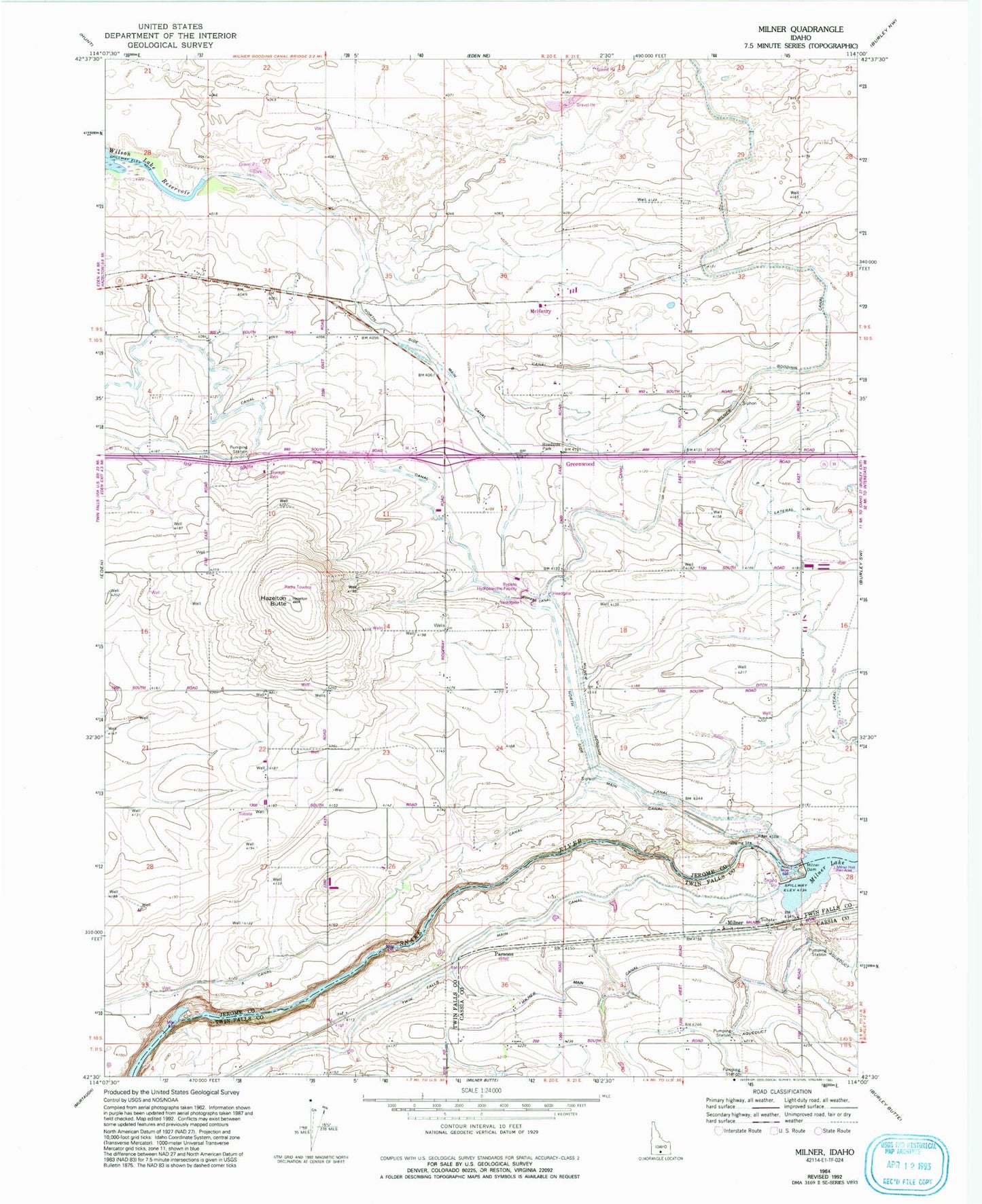
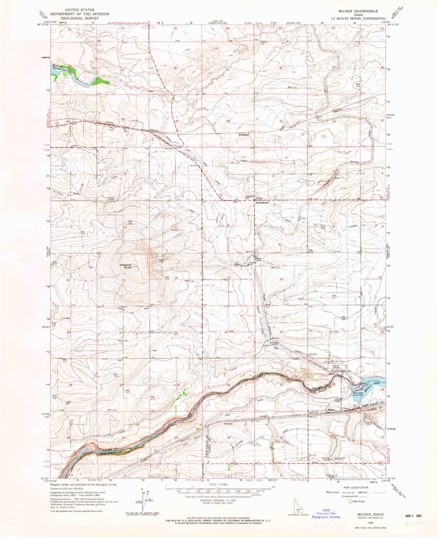
MyTopo
Classic USGS Milner Idaho 7.5'x7.5' Topo Map
Couldn't load pickup availability
Historical USGS topographic quad map of Milner in the state of Idaho. Map scale may vary for some years, but is generally around 1:24,000. Print size is approximately 24" x 27"
This quadrangle is in the following counties: Cassia, Jerome, Twin Falls.
The map contains contour lines, roads, rivers, towns, and lakes. Printed on high-quality waterproof paper with UV fade-resistant inks, and shipped rolled.
Contains the following named places: A Canal, B Canal, Bypass Canal, Bypass Hydroelectric Facility, C Lateral, Caldron Linn, Greenwood, Hazelton A Hydroelectric Facility, Hazelton B Spill, Hazelton Butte, Lateral C-11, Lateral C-54, Lateral PA, Lateral PA1, Lateral PA2, Lateral PA2 Spill, Lateral PA4, Lateral PA5, McHenry, Milner, Milner Dam, Milner Historical Recreation Area, Milner Lake, Milner Station, P A Lateral, Parsons, ZIP Code: 83335