MyTopo
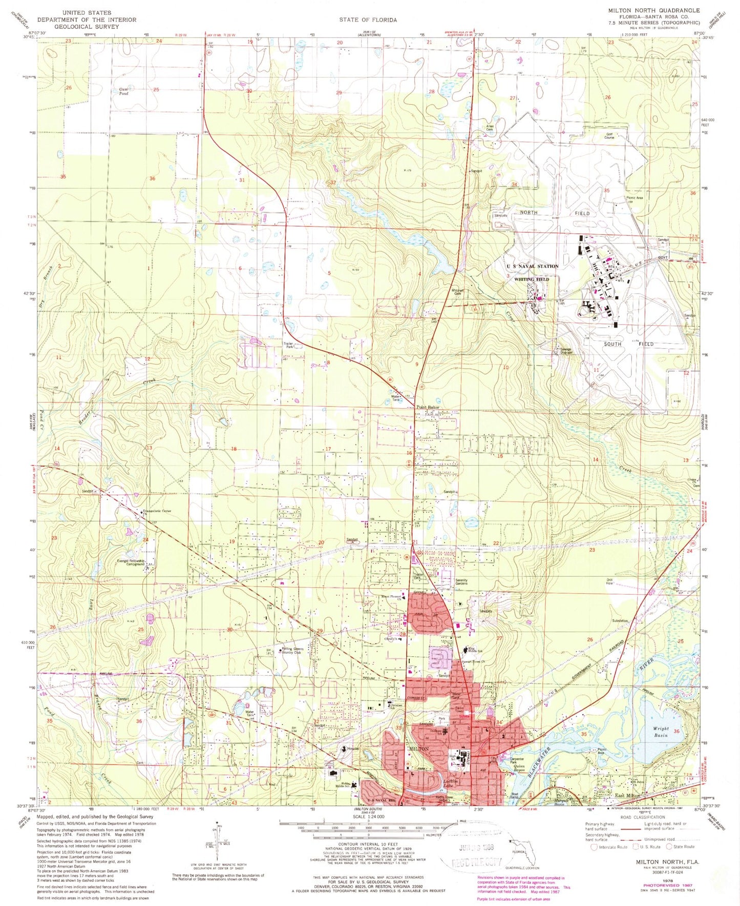
Classic USGS Milton North Florida 7.5'x7.5' Topo Map
Couldn't load pickup availability
Historical USGS topographic quad map of Milton North in the state of Florida. Typical map scale is 1:24,000, but may vary for certain years, if available. Print size: 24" x 27"
This quadrangle is in the following counties: Santa Rosa.
The map contains contour lines, roads, rivers, towns, and lakes. Printed on high-quality waterproof paper with UV fade-resistant inks, and shipped rolled.
Contains the following named places: Allen Cemetery, Carpenter Park, Christ Church, Clear Creek, Craine Church, Evangel Fellowship Campground, Evangelistic Center Church, Gum Pond, Hobbs Middle School, King Middle School, Locklin Lake, Long Branch Creek, Milton, Mitchell Cemetery, Mount Pleasant Church, Oakhurst School, Point Baker, Quinn Bayou, Rolling Greens Country Club, Saint Johns Church, Serenity Gardens, Stewart Street Church, Wright Basin, Milton Square, Gateway Shopping Center, Six Flags Shoppers Mart, Milton High School, Locklin Vocational Technical Center, Berryhill Elementary School, Santa Rosa County Adult High School, West Florida Community Care Center, Santa Rosa Medical Center, Sugar Plum Tree Child Care Center, Santa Rosa County, WECM-AM (Milton), Santa Rosa Medical Center Heliport, Milton Division, Blackwater Heritage Trail State Park, City of Milton, Naval Air Station Whiting Field, Point Baker Census Designated Place, Skyline Volunteer Fire and Rescue Department 22 Substation 3, Skyline Volunteer Fire and Rescue Department 22 Substation 1, Naval Air Station Whiting Field Fire Department Station 24, Milton Fire Department 23, Skyline Volunteer Fire and Rescue Department 22 Substation 4, Skyline Division, Whiting Field Division, Whiting Field Naval Air Station South, Whiting Field Naval Air Station North, Milton Police Department