MyTopo
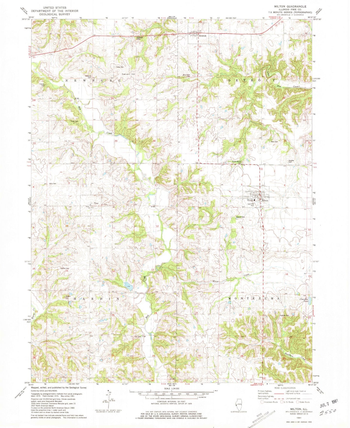
Classic USGS Milton Illinois 7.5'x7.5' Topo Map
Couldn't load pickup availability
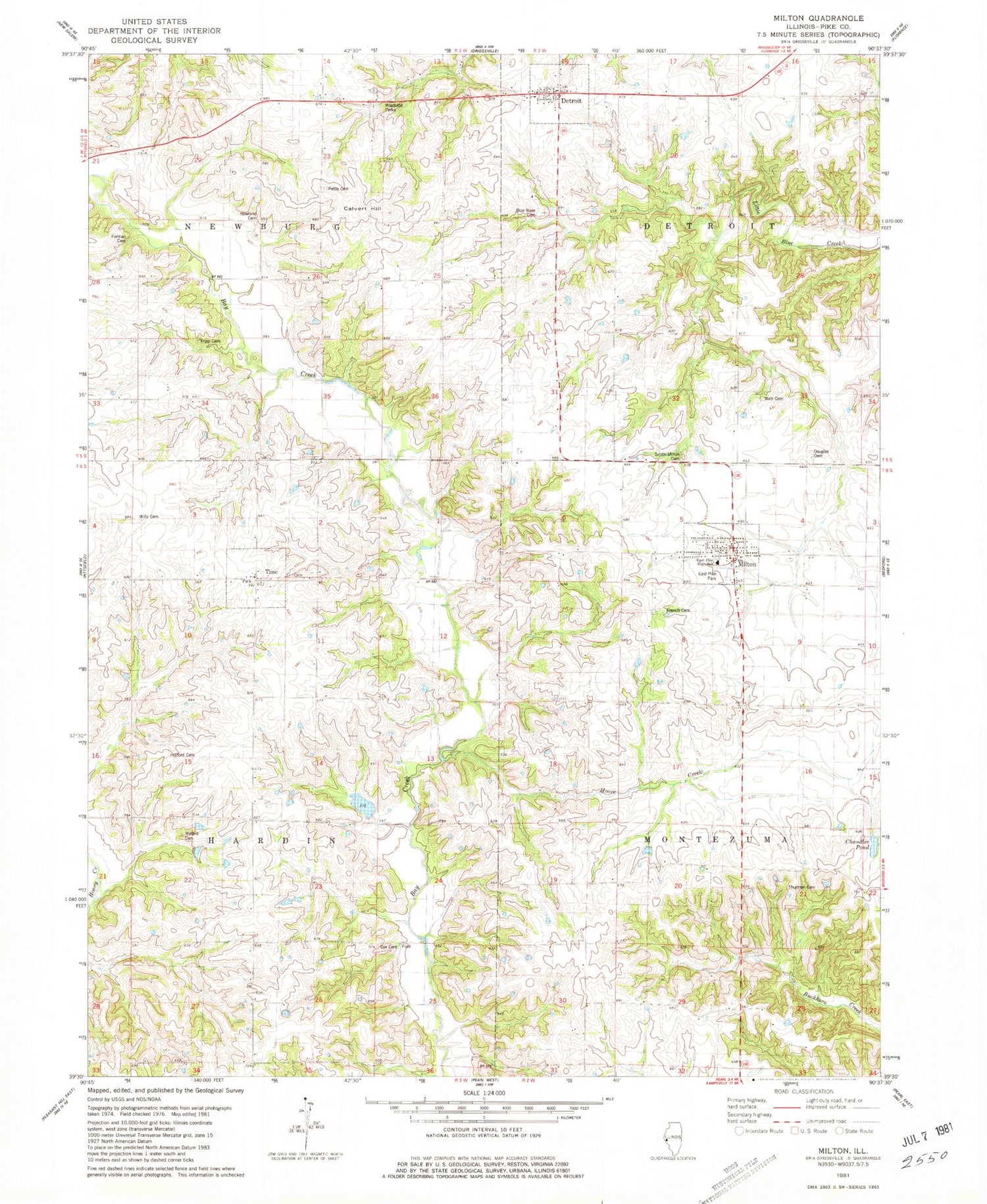
Historical USGS topographic quad map of Milton in the state of Illinois. Typical map scale is 1:24,000, but may vary for certain years, if available. Print size: 24" x 27"
This quadrangle is in the following counties: Pike.
The map contains contour lines, roads, rivers, towns, and lakes. Printed on high-quality waterproof paper with UV fade-resistant inks, and shipped rolled.
Contains the following named places: Calvert Hill, Center School (historical), Chandler Pond, Clover School (historical), Crossroads School (historical), Detroit, Liberty School (historical), Milton, Moore Creek, Newburg School (historical), Pleasant Hill School (historical), Time, Union School (historical), West Grove School (historical), Township of Detroit, Township of Hardin, Township of Montezuma, Township of Newburg, Columbia Farm Pond Dam, Columbia Farm Pond, Blue River Cemetery, Cox Family Cemetery, Douglas Cemetery, East Pike High School, East Pike Park, French Cemetery, Holford Cemetery, Howland Cemetery, Pettis Cemetery, Milton - Smith Cemetery, Thurman Cemetery, Tripp Cemetery, Watts Cemetery, Willard Cemetery, Wills Cemetery, Foreman Cemetery, Time Cemetery, Village of Detroit, Village of Milton, Village of Time, East Pike Fire Protection District, Milton Post Office


