MyTopo
Classic USGS Milton Vermont 7.5'x7.5' Topo Map
Couldn't load pickup availability
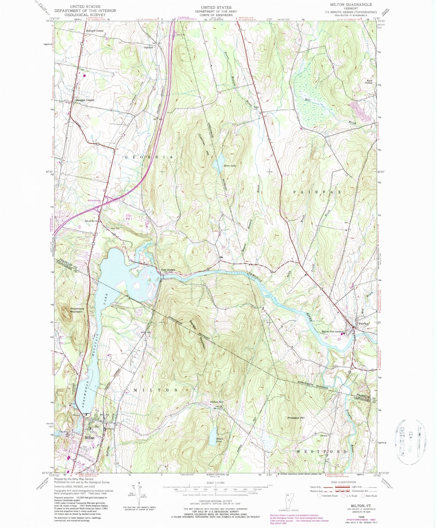
Historical USGS topographic quad map of Milton in the state of Vermont. Typical map scale is 1:24,000, but may vary for certain years, if available. Print size: 24" x 27"
This quadrangle is in the following counties: Chittenden, Franklin.
The map contains contour lines, roads, rivers, towns, and lakes. Printed on high-quality waterproof paper with UV fade-resistant inks, and shipped rolled.
Contains the following named places: Arrowhead Mountain, Arrowhead Mountain Lake, Beaver Cemetery, Beaver Meadow Brook, Bellows Free Academy, Browns River, Cushman Hill, Fairfax, Georgia Mountain, Hope Cemetery, Hubbard Corner, Mill Brook, Milton, Milton Pond, Oakland, Prospect Hill, School Number 14, School Number 6, Silver Lake, Swift Brook, Tracy Brook, East Georgia, Georgia Center, Town of Fairfax, Milton Dam, Clarks Falls Dam, Silver Lake Dam, Milton Elementary School, Milton Middle / High School, Milton Museum, Milton Square Shopping Center, Old Milton Cemetery, Old Plains Cemetery, Pleasant View Cemetery, Saint Ann Church, School Street School, United Church of Milton, Davis Cemetery, Fairfax Post Office, Fairchild Cemetery, Fairfax Community Library, Fairfax Plains Cemetery, Georgia Elementary School, Georgia Middle School, Goodrich Cemetery, Homestead Campgrounds, Hubbard Cemetery, Hyde Cemetery, Keezer Cemetery, Loomis Cemetery, Lower Covered Bridge, Maple Grove Campground, Safford Cemetery, Saint Lukes Catholic Church, Village of Milton (historical), Georgia Volunteer Fire Department, Fairfax Fire Department, Milton Census Designated Place, Milton School District, Fairfax Rescue Squad, Fairfax Census Designated Place, Saint Luke Catholic Cemetery


