MyTopo
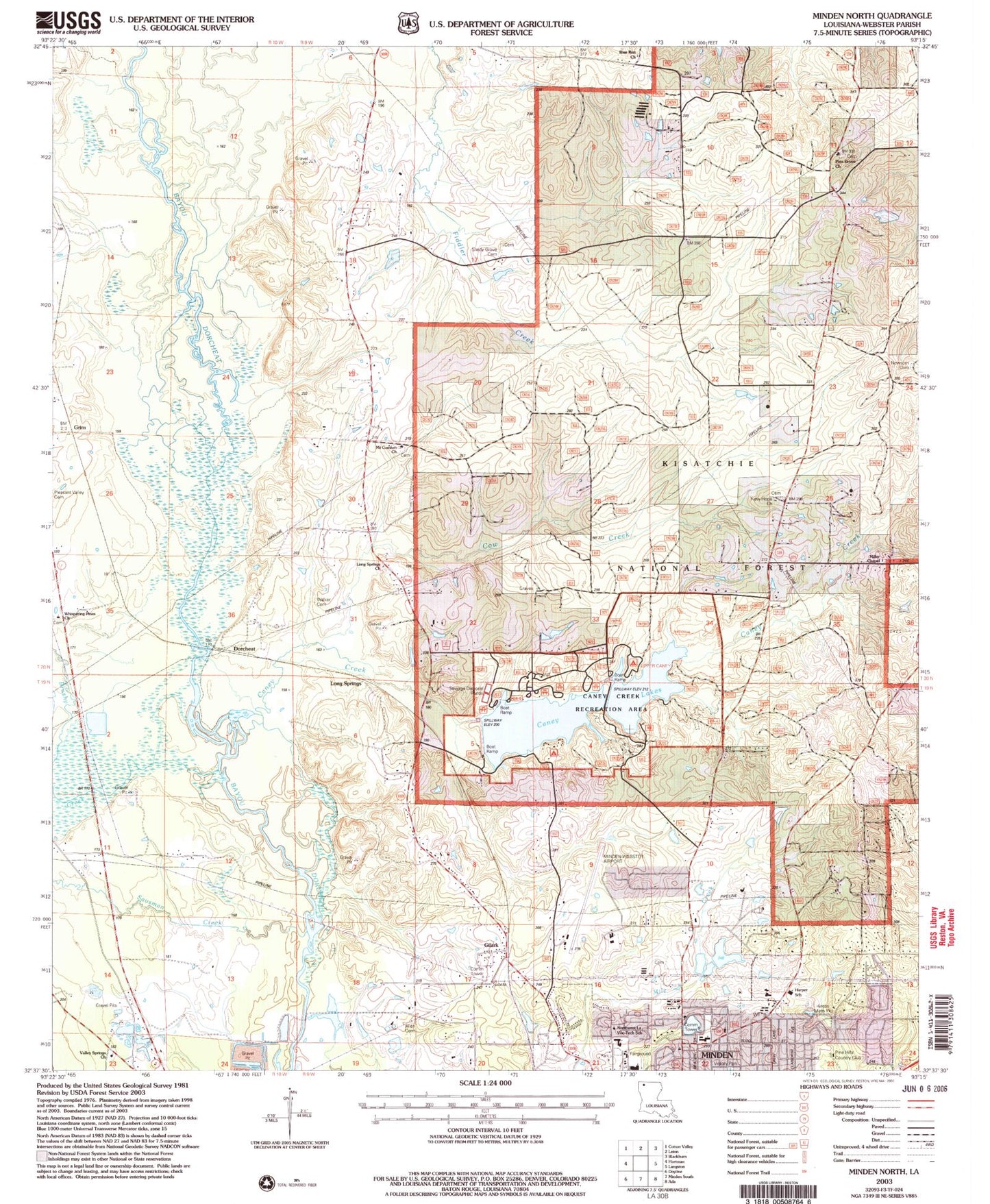
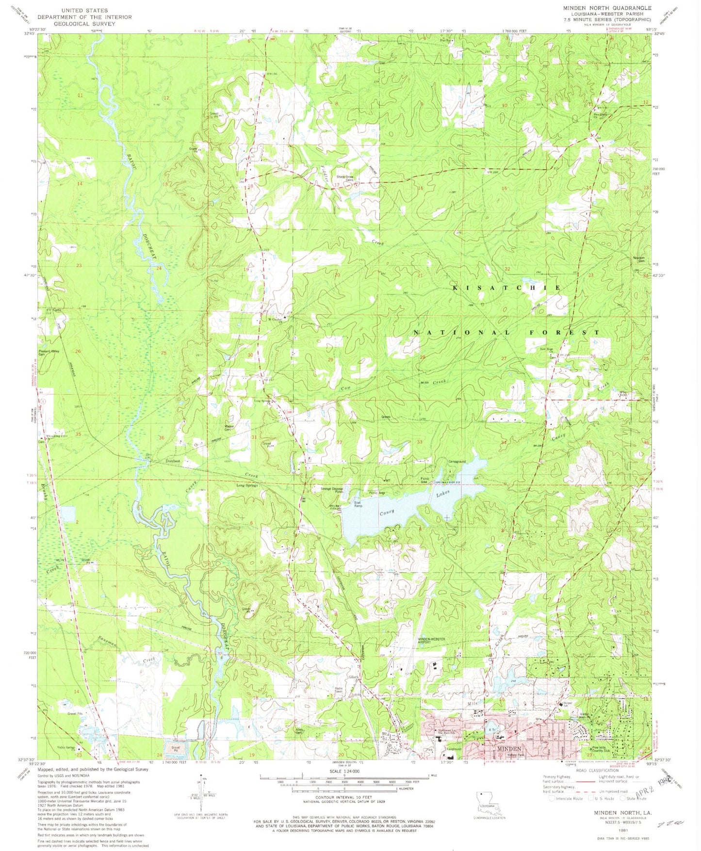
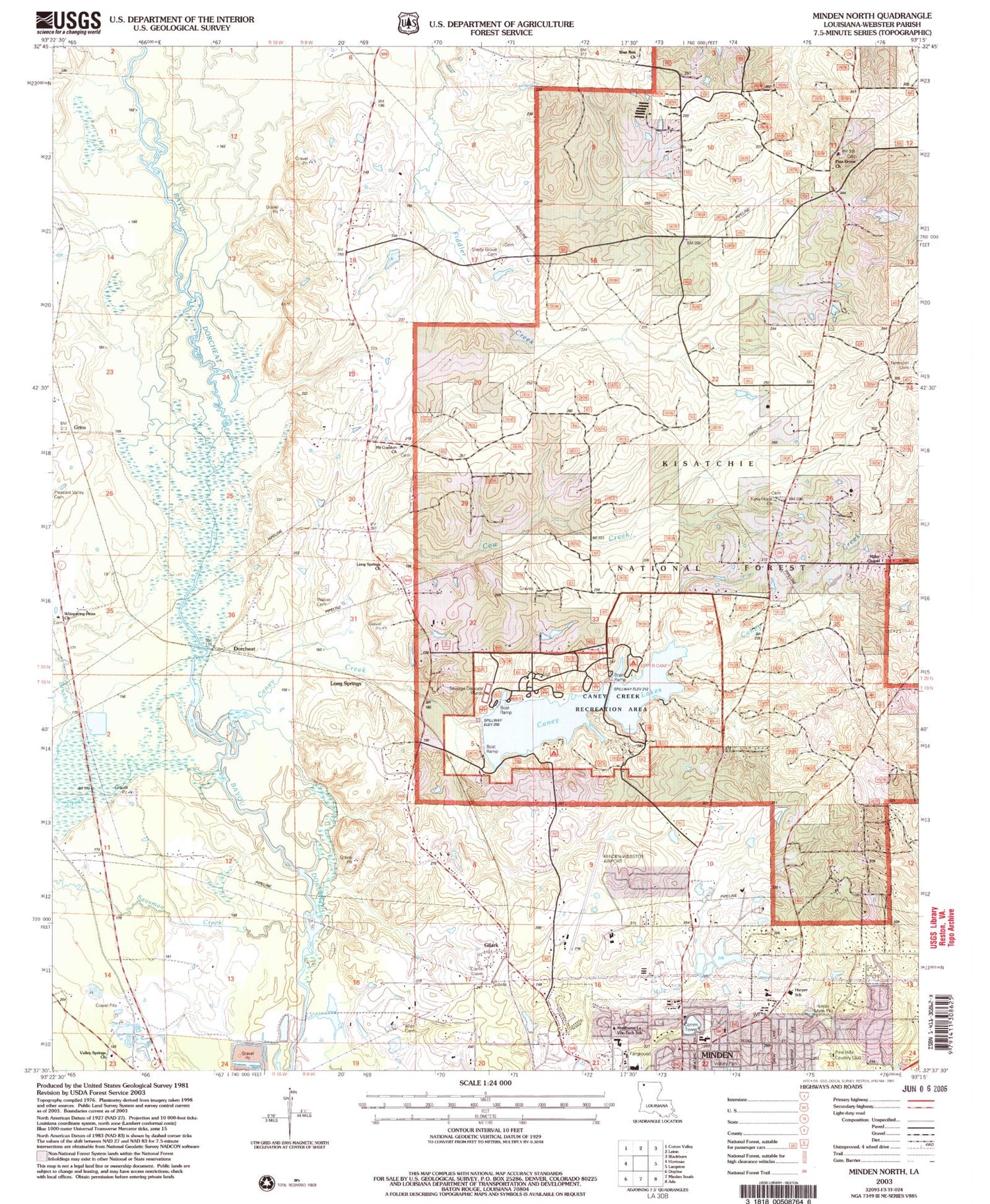
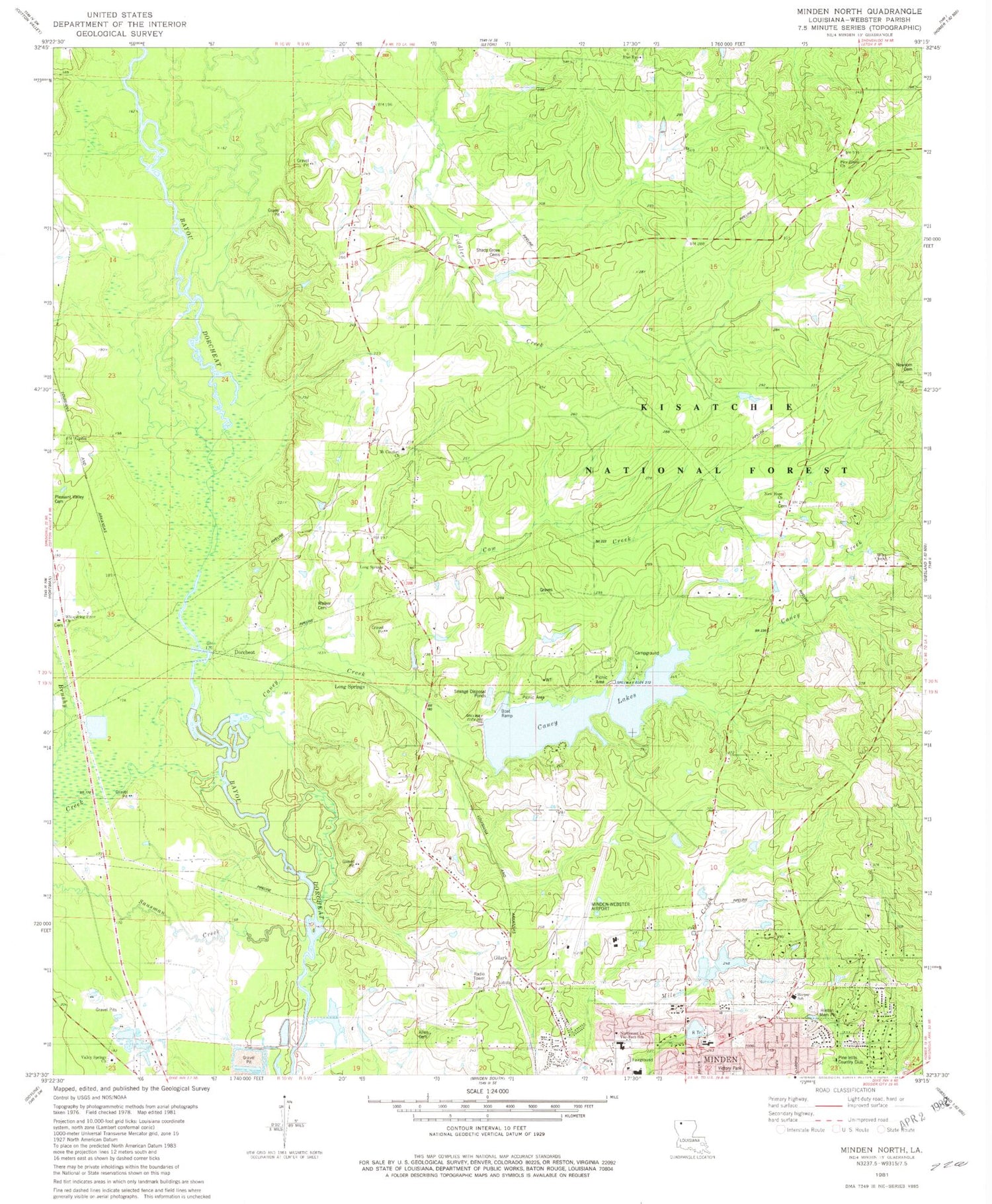
Classic USGS Minden North Louisiana 7.5'x7.5' Topo Map
Couldn't load pickup availability
Historical USGS topographic quad map of Minden North in the state of Louisiana. Typical map scale is 1:24,000, but may vary for certain years, if available. Print size: 24" x 27"
This quadrangle is in the following counties: Webster.
The map contains contour lines, roads, rivers, towns, and lakes. Printed on high-quality waterproof paper with UV fade-resistant inks, and shipped rolled.
Contains the following named places: Valley Springs Church, Whispering Pines Church, Walker Cemetery, Louisiana Technical College Northwest Campus, Long Springs Church, Blue Run Church, New Hope Church, Miller Chapel, Pine Hills Country Club, Glenbrook School, Oak Grove School (historical), Camp Yatasi, Pace, Shady Grove Church (historical), Martins Store (historical), Mims School (historical), Johnsons Store (historical), Garden of Memory Cemetery, Fair Park Recreation Center, Webster Parish Achievement Center School, Gethsemane Family Church, Lakeview United Methodist Church, E S Richardson Elementary School, Minden Tennis and Aquatic Center, Sulphur Springs, Allen Cemetery, Blue Run School, Brushy Creek, Caney Creek, Gilark, Grim, Grove, Long Springs, Long Springs School, Mount Comfort Church, Mount Pilgrim Church, New Hope School, Sausman Creek, Shady Grove Cemetery, Valley Springs School, Caney Creek Recreation Area, Caney Lakes, Dorcheat, Pine Grove Methodist Church, Newsom Cemetery, Hinton Memorial Park, Lower Caney Dam, Lower Caney Lake, Upper Caney Dam, Upper Caney Lake, R D Hinton Pond Dam, Webster Parish, Upper Caney Campground, J E Harper Elementary School, Cow Creek, Caney Lakes Recreation Site, Germantown Lookout Tower, Sugarcane Trail, KASO-FM (Minden), KASO-AM (Minden), Minden Airport, Parish Governing Authority District 6, Parish Governing Authority District 8, Webster Parish Expulsion School, Webster Parish Adult Education Center School, Minden Fire Department Station 3


