
MyTopo
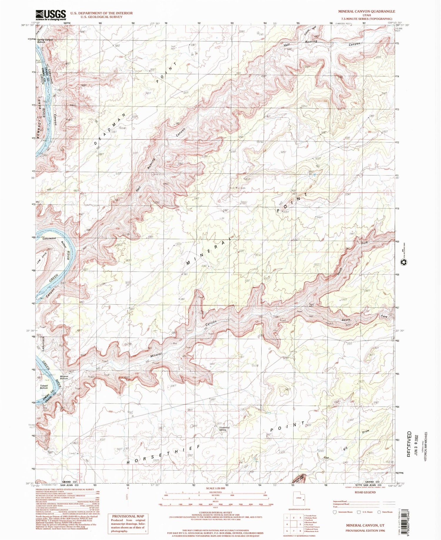
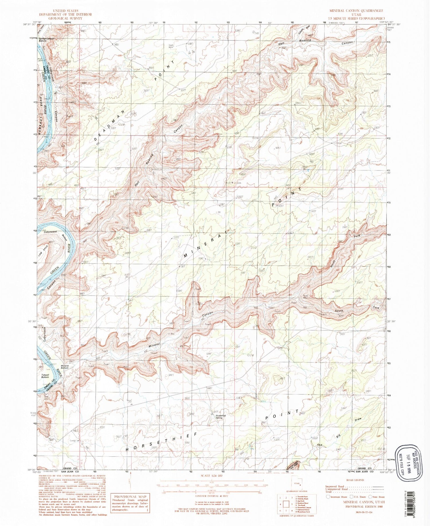
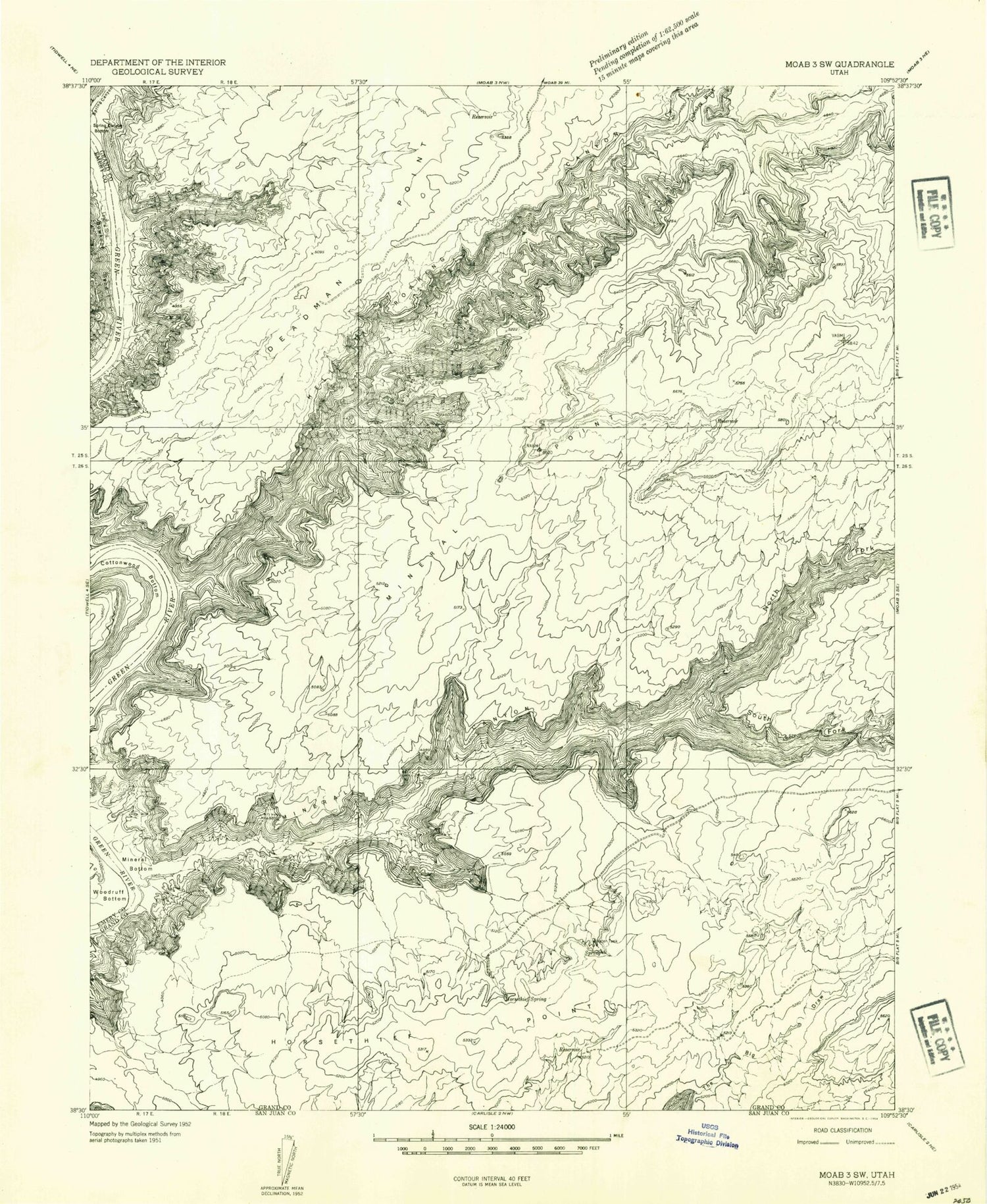
Classic USGS Mineral Canyon Utah 7.5'x7.5' Topo Map
Couldn't load pickup availability
Historical USGS topographic quad map of Mineral Canyon in the state of Utah. Typical map scale is 1:24,000, but may vary for certain years, if available. Print size: 24" x 27"
This quadrangle is in the following counties: Emery, Grand.
The map contains contour lines, roads, rivers, towns, and lakes. Printed on high-quality waterproof paper with UV fade-resistant inks, and shipped rolled.
Contains the following named places: Cottonwood Bottom, Deadman Point, Hell Roaring Canyon, Horsethief Spring, Mineral Bottom, Mineral Canyon, Mineral Point, North Fork Mineral Canyon, South Fork Mineral Canyon, Dubinky Wash, Mineral Canyon Strip, Cottonwood Bottom, Deadman Point, Hell Roaring Canyon, Horsethief Spring, Mineral Bottom, Mineral Canyon, Mineral Point, North Fork Mineral Canyon, South Fork Mineral Canyon, Dubinky Wash, Mineral Canyon Strip


