MyTopo
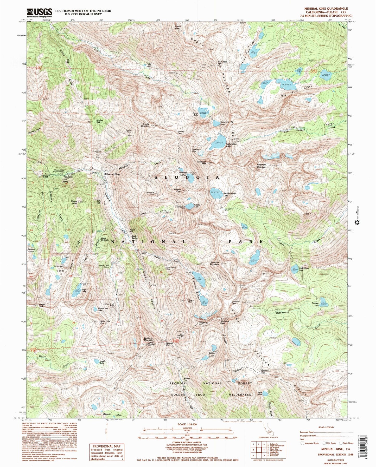
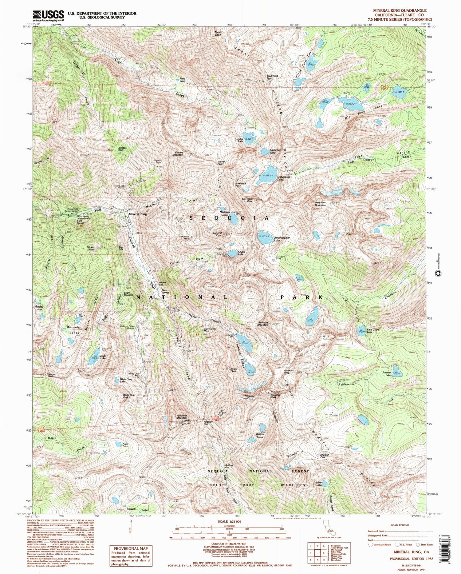
USGS Classic Mineral King California 7.5'x7.5' Topo Map
Couldn't load pickup availability
Historical USGS topographic quad map of Mineral King in the state of California. Scale: 1:24000. Print size: 24" x 27"
This quadrangle is in the following counties: Tulare.
The map contains contour lines, roads, rivers, towns, lakes, and grids including latitude / longitude and UTM / MGRS. Printed on high-quality waterproof paper with UV fade-resistant inks.
Contains the following named places: Little Five Lakes, Amphitheater Lake, Ansel Lake, Big Five Lakes, Black Rock Pass, Bullfrog Lakes, Columbine Lake, Crystal Creek, Crystal Lake, Cyclamen Lake, Eagle Creek, Eagle Lake, Mount Eisen, Empire Mountain, Farewell Canyon, Farewell Gap, Mount Florence, Franklin Creek, Franklin Lakes, Franklin Pass, Little Claire Lake, Mineral Creek, Mineral King Game Refuge, Mineral King Ranger Station, Mineral Lakes, Mineral Peak, Monarch Creek, Monarch Lakes, Mosquito Creek, Mosquito Lakes, Needham Mountain, Pinto Lake, Sawtooth Pass, Shotgun Pass, Silver Lake, Spring Lake, Timber Gap, Timber Gap Creek, Tulare Peak, Vandever Mountain, White Chief Lake, Tufa Falls, Miners Nose, Forester Lake, Cold Spring, Crabtree Cabin (historical), Miners Ridge, Eagle Sinkhole, Soda Spring, Bullion Flat, Aspen Flat, Glacier Pass, Hengst Peak, Cold Spring Campground, Sunny Point Recreation Site, Cold Spring Campground, Sawtooth Peak, Rainbow Mountain, White Chief Peak, Lady Franklin Lake 104-011 Dam, Crystal Lake 104-019 Dam, Upper Monarch Lake 104-020 Dam, Mineral King Post Office (historical), Chihuahua Mine, Empire Mill (historical), Empire Mine, Lady Franklin Mine, White Chief Mine, Mineral King


