MyTopo
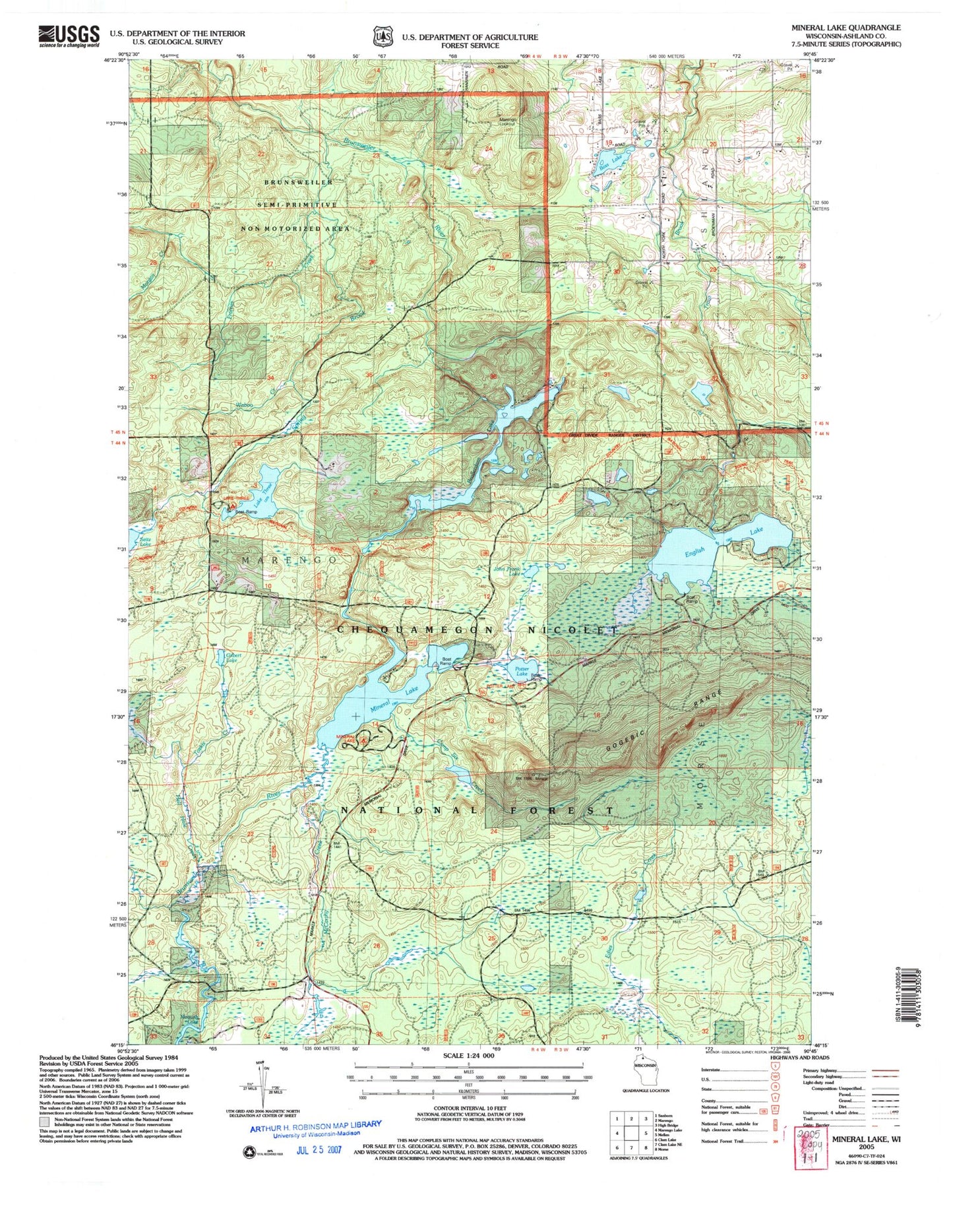
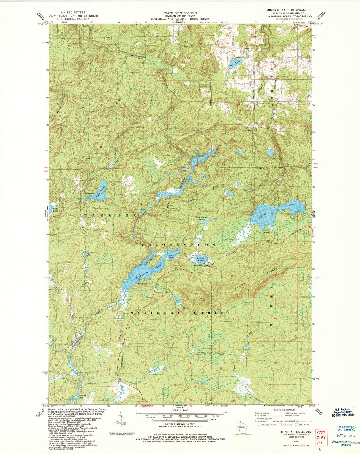
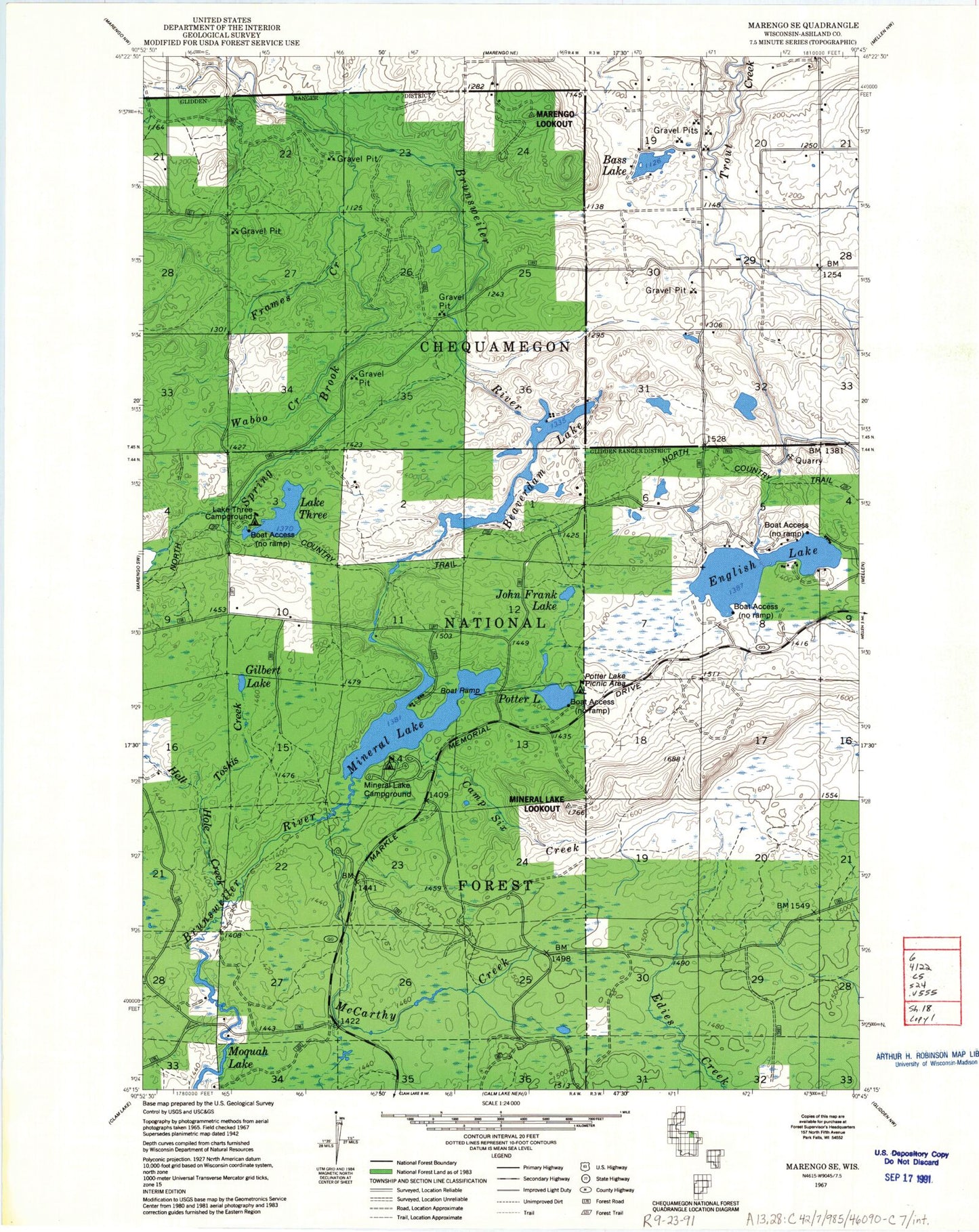
Classic USGS Mineral Lake Wisconsin 7.5'x7.5' Topo Map
Couldn't load pickup availability
Historical USGS topographic quad map of Mineral Lake in the state of Wisconsin. Typical map scale is 1:24,000, but may vary for certain years, if available. Print size: 24" x 27"
This quadrangle is in the following counties: Ashland.
The map contains contour lines, roads, rivers, towns, and lakes. Printed on high-quality waterproof paper with UV fade-resistant inks, and shipped rolled.
Contains the following named places: Bass Lake, Beaverdam Lake, Camp Six Creek, English Lake, Frames Creek, Gilbert Lake, Hell Hole Creek, John Frank Lake, McCarthy Creek, Mineral Lake, Potter Lake, Spring Brook, Lake Three, Waboo Creek, Toskis Creek, Mineral Lake Recreation Site, Lake Three Recreation Site, Potter Lake Recreation Site, Marengo Lookout Tower, Mineral Lake Lookout Tower, Town of Marengo, Brunsweiler Creek Dam, Beaverdam Lake 36, Martin Hanson Dam, Lake Three 2WP433 Dam, Lake Three 1, Hudson Bay 3WR232 Dam, Spider and Moquah Lakes 19, Uihlein Dam, Pine Stump Corner, Chequamegon Hardwoods State Natural Area, Bass Lake, Beaverdam Lake, Camp Six Creek, English Lake, Frames Creek, Gilbert Lake, Hell Hole Creek, John Frank Lake, McCarthy Creek, Mineral Lake, Potter Lake, Spring Brook, Lake Three, Waboo Creek, Toskis Creek, Mineral Lake Recreation Site, Lake Three Recreation Site, Potter Lake Recreation Site, Marengo Lookout Tower, Mineral Lake Lookout Tower, Town of Marengo, Brunsweiler Creek Dam, Beaverdam Lake 36, Martin Hanson Dam, Lake Three 2WP433 Dam, Lake Three 1, Hudson Bay 3WR232 Dam, Spider and Moquah Lakes 19, Uihlein Dam, Pine Stump Corner, Chequamegon Hardwoods State Natural Area


