MyTopo
USGS Classic Mineral Ohio 7.5'x7.5' Topo Map
Couldn't load pickup availability
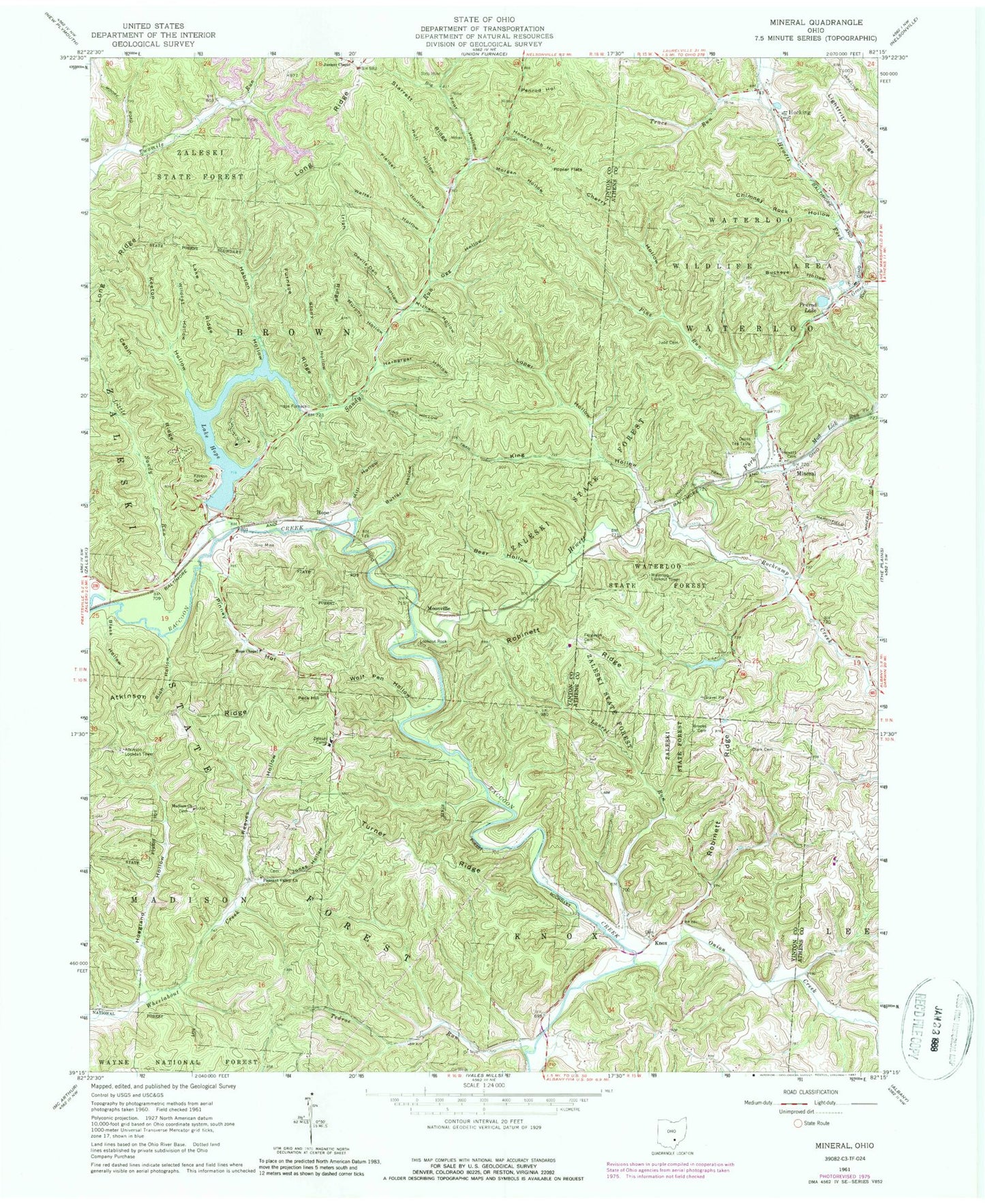
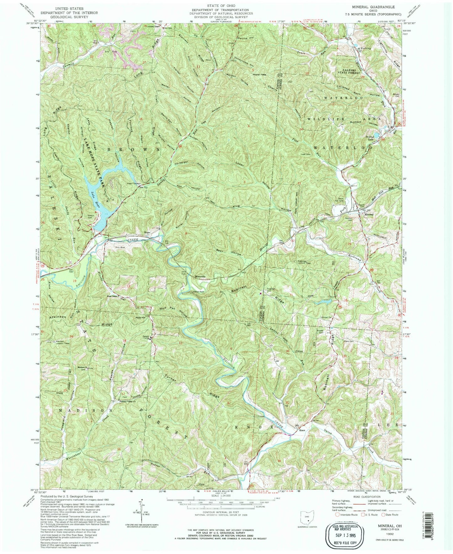
Historical USGS topographic quad map of Mineral in the state of Ohio. Scale: 1:24000. Print size: 24" x 27"
This quadrangle is in the following counties: Athens, Vinton.
The map contains contour lines, roads, rivers, towns, lakes, and grids including latitude / longitude and UTM / MGRS. Printed on high-quality waterproof paper with UV fade-resistant inks.
Contains the following named places: Bear Hollow, Big Four Hollow, Black Hollow, Brooks Cemetery, Brooks Cemetery, Buckeye Hollow, Butler Hollow, Cabin Ridge, Cherry Hollow, Chimney Rock Hollow, Clark Cemetery, Devils Den Hollow, Devils Tea Table, Ferguson Cemetery, Fielder Hollow, Furnace Ridge, Grass Run, Habron Hollow, Harbargar Hollow, Hewett Cemetery, Hoagland Hollow, Honeycomb Hollow, Hope Chapel, Howson Cemetery, Hull Hollow, Irish Ridge, Jones Hollow, Judd Cemetery, Juniper Chapel, Keeton Cemetery, Keeton Hollow, King Hollow, King Hollow Trail, Lake Ridge, Laurel Run, Lightfritz Ridge, Little Sandy Run, Lookout Rock, Loper Hollow, Madison Free Will Baptist Church, Mizner Hollow, Morgan Hollow, Mud Lick Run, Ogg Hollow, Penrod Hollow, Pleasant Valley Church, Poplar Flats, Reeves Hollow, Rich Hollow, Robinett Ridge, Starrett Ridge, Stony Hollow, Tedroe Run, Trace Run, Turner Ridge, Walter Hollow, Waterloo State Forest, Wildcat Hollow, Wolf Pen Hollow, Zaleski Camp, Hocking, Peck Hill, Hope, Knox, Mineral, Moonville, Pine Run, Rockcamp Creek, Hope Furnace, Ingham (historical), Onion Creek, Atkinson Ridge, Hewett Fork, Sandy Run, Lake Hope Dam, Lake Hope, Athens Fish and Game Club Lake Dam, Athens Fish and Game Club Lake, Atkinson Lookout Tower, Waterloo Lookout Tower, Waterloo Wildlife Area, Lake Hope State Park, Township of Brown, Township of Knox, Mineral Post Office (historical), Bethel Holiness Mission, Bethel Holiness Mission Cemetery, Madison Cemetery, Pleasant Valley Cemetery, Hocking Post Office (historical), Pinney Hollow, Mill Hollow, Murphy Hollow, Long Ridge


