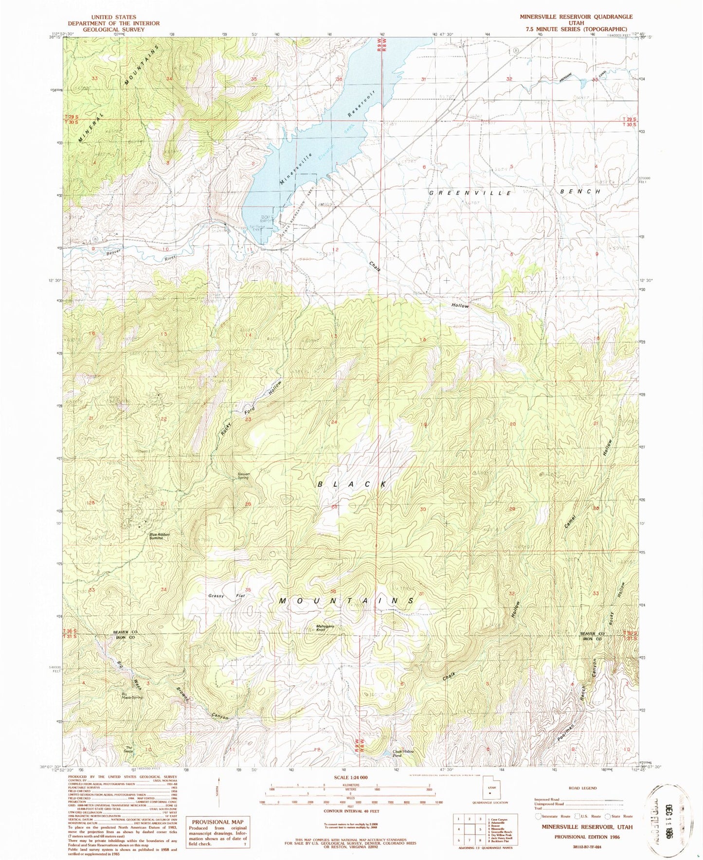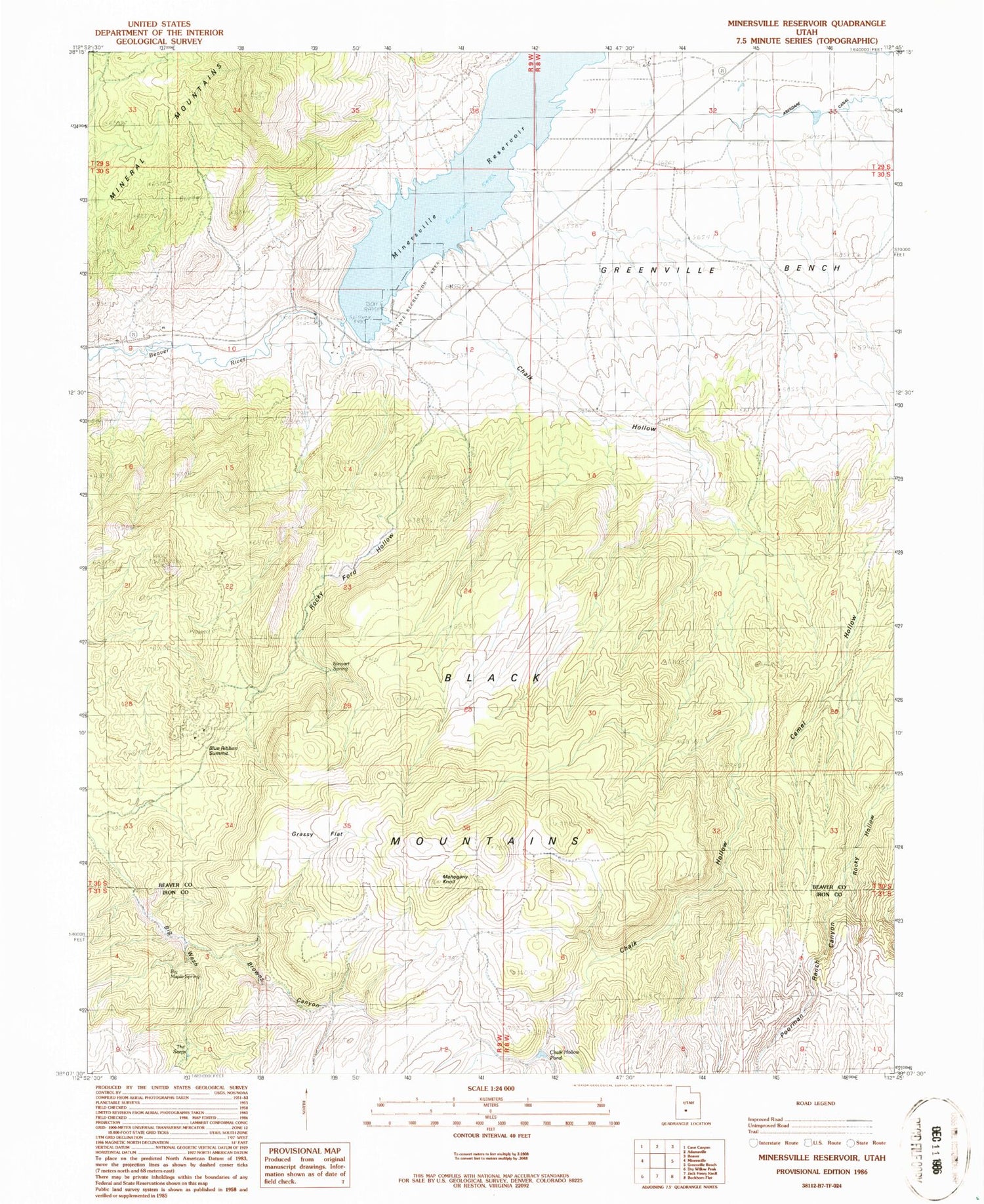
MyTopo
Classic USGS Minersville Reservoir Utah 7.5'x7.5' Topo Map
Couldn't load pickup availability
Historical USGS topographic quad map of Minersville Reservoir in the state of Utah. Map scale may vary for some years, but is generally around 1:24,000. Print size is approximately 24" x 27"
This quadrangle is in the following counties: Beaver, Iron.
The map contains contour lines, roads, rivers, towns, and lakes. Printed on high-quality waterproof paper with UV fade-resistant inks, and shipped rolled.
Contains the following named places: Big Maple Spring, Blue Ribbon Mine, Blue Ribbon Summit, Browns Canyon, Camel Hollow, Chalk Hollow, Chalk Hollow Pond, Goules Mine, Grassy Flat, Mahogany Knoll, Minersville Campground, Minersville Reservation Recreation Site, Minersville Reservoir, Minersville State Park, Poorman Ranch Canyon, Rocky Ford Dam, Rocky Ford Hollow, Stewart Spring, The Seeps, ZIP Code: 84752