MyTopo
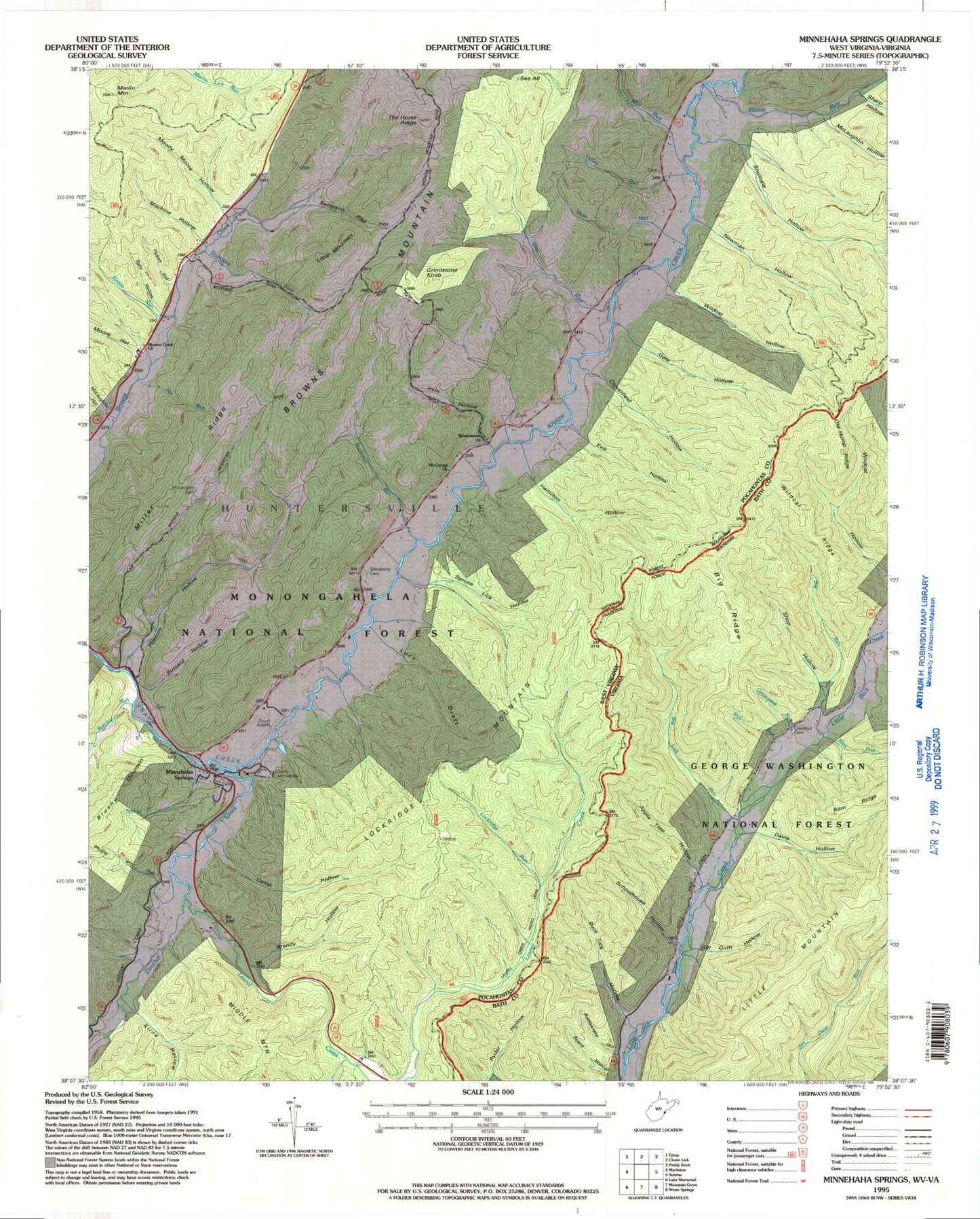
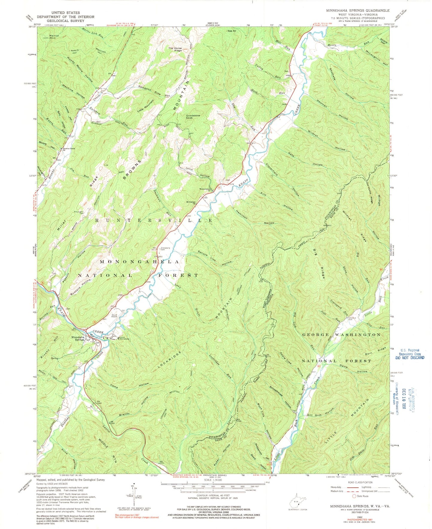
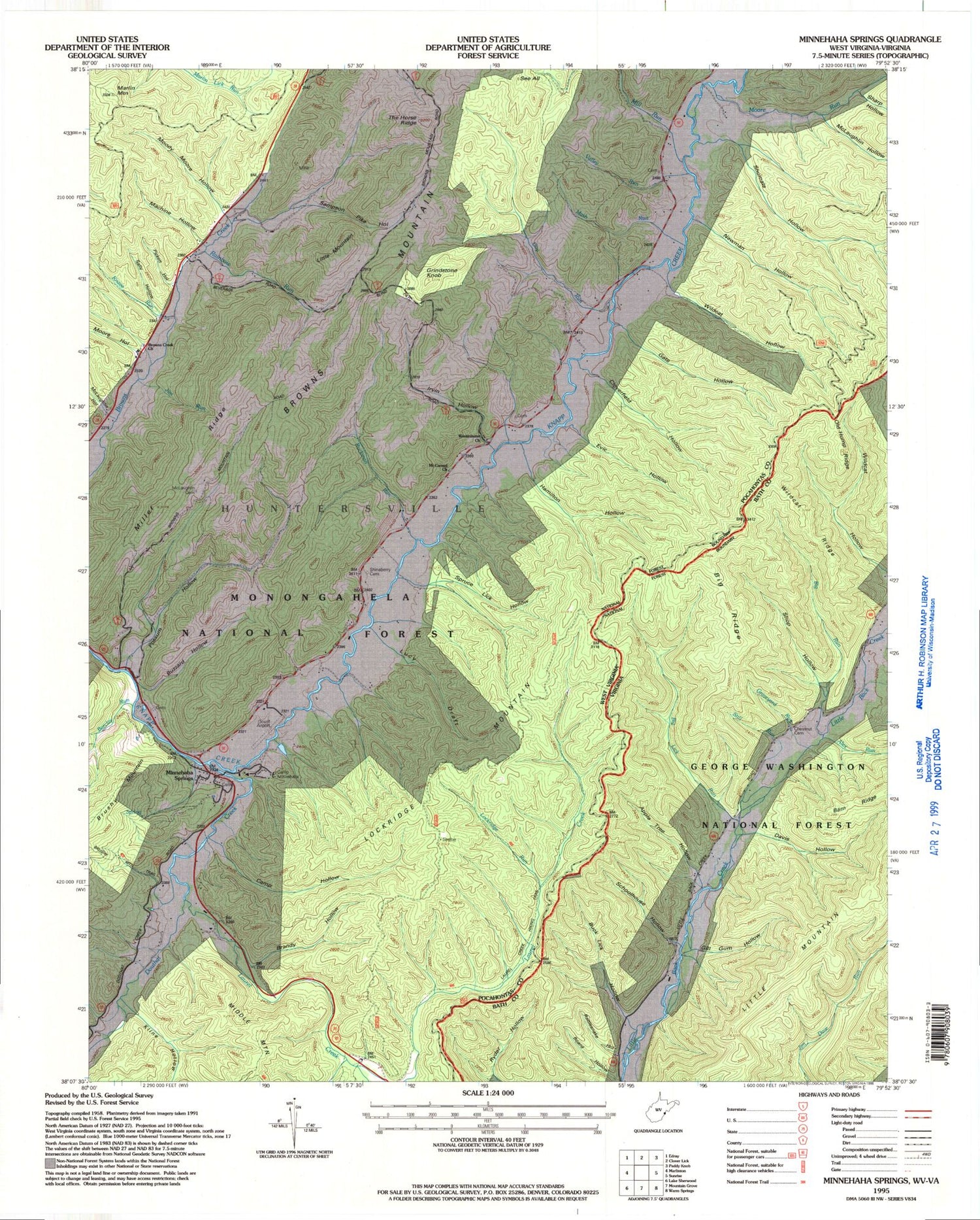
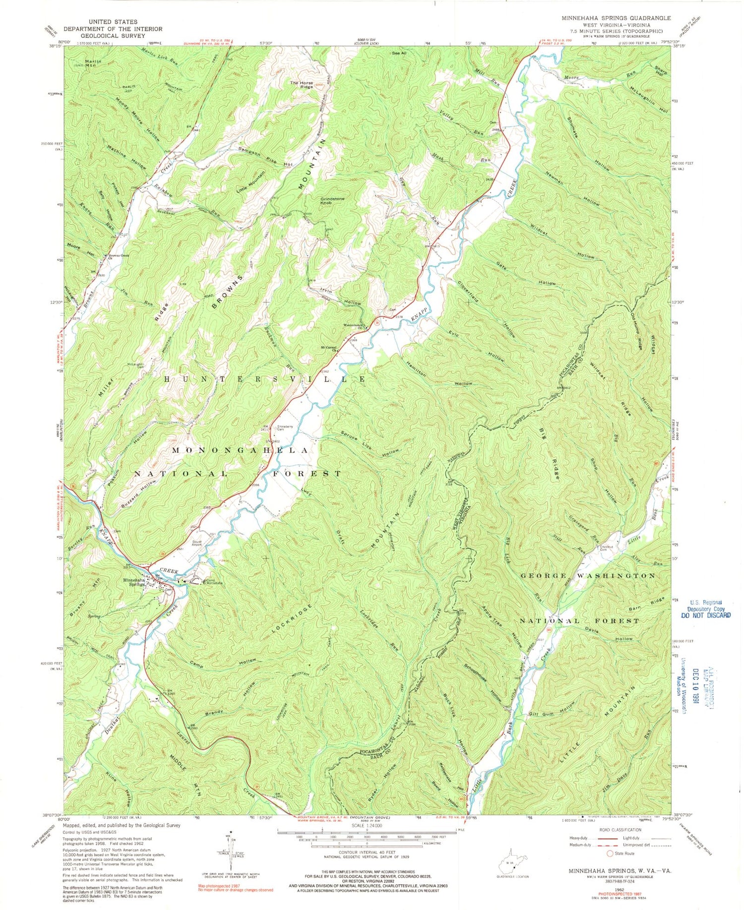
Classic USGS Minnehaha Springs West Virginia 7.5'x7.5' Topo Map
Couldn't load pickup availability
Historical USGS topographic quad map of Minnehaha Springs in the states of West Virginia, Virginia. Map scale may vary for some years, but is generally around 1:24,000. Print size is approximately 24" x 27"
This quadrangle is in the following counties: Bath, Pocahontas.
The map contains contour lines, roads, rivers, towns, and lakes. Printed on high-quality waterproof paper with UV fade-resistant inks, and shipped rolled.
Contains the following named places: Alex Run, Apple Tree Hollow, Barclay Run, Barn Ridge, Big Lick Run, Big Ridge, Big Run, Board Hollow, Brandy Hollow, Browns Creek Church, Browns Creek School, Browns Mountain, Brushy Mountain Trail, Buck Lick Hollow, Buzzard Hollow, Camp Hollow, Camp Minnehaha, Chestnut Cemetery, Cloverfield Hollow, Cochran Creek, Davis Hollow, Davis Spring, Dourif Airport, Douthat Creek, Douthat Creek School, Evic Hollow, Gate Hollow, Gill Gum Hollow, Graveyard Run, Grindstone Knob, Guy Run, Guy Run Spring, Hamilton Hollow, Huntersville District, Irvin Hollow, Jim Run, Kline Hollow, Knave Run, Laurel Creek, Laurel Creek Hiking Trail, Little Mountain, Lockridge Mountain, Lockridge Mountain Trail, Lockridge Run, Lucy Draft, Machine Hollow, Mash Run, McCarty Spring, McLaughlin Cemetery, McLaughlin Hollow, Mill Run, Mill Run Spring, Miller Ridge, Minnehaha Spring, Minnehaha Springs, Minnehaha Springs Post Office, Moody Moore Hollow, Moore Hollow, Moore Run, Moore School, Mount Carmel Church, Mount Tabor School, Newman Hollow, Old Hump Ridge, Pickett Hollow, Possum Hollow, Rainbow Run, Rattlesnake Hollow, Rimel Parking Cicle, Road Run, Ruckman Run, Ruckman Run Spring, Sally Hollow, Sampson Pike Hollow, Schoolhouse Hollow, See All, Seneca Lake Dam, Sharp Hollow, Shinaberry Cemetery, Shop Hollow, Shumate Hollow, Spruce Lick Hollow, Still Run, Sunset, Sunset School, The Horse Ridge, Valley Draft, Valley Run, Westminster Presbyterian Church, Wildcat Hollow, Wildcat Ridge


