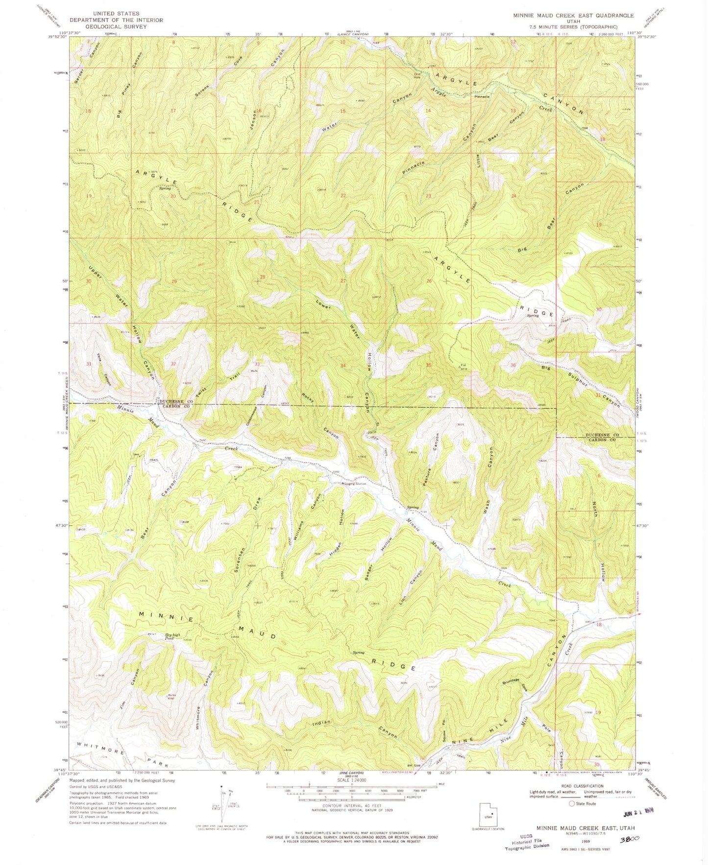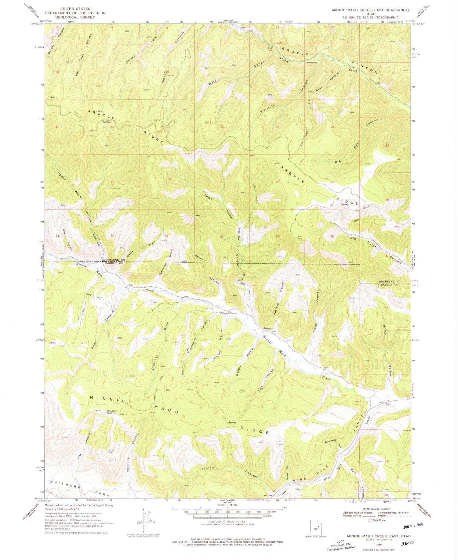
MyTopo
Classic USGS Minnie Maud Creek East Utah 7.5'x7.5' Topo Map
Couldn't load pickup availability
Historical USGS topographic quad map of Minnie Maud Creek East in the state of Utah. Map scale may vary for some years, but is generally around 1:24,000. Print size is approximately 24" x 27"
This quadrangle is in the following counties: Carbon, Duchesne.
The map contains contour lines, roads, rivers, towns, and lakes. Printed on high-quality waterproof paper with UV fade-resistant inks, and shipped rolled.
Contains the following named places: Badger Canyon, Bear Canyon, Big Bear Canyon, Brundage Cove, Cottonwood Canyon, Hidden Hollow, Indian Canyon, Jim Canyon, Lion Canyon, Little Bear Canyon, Lower Water Hollow Canyon, Minnie Maud Creek, North Hollow, Pasture Canyon, Pinnacle Canyon, Pole Canyon, Rocky Canyon, Sky-high Pond, Sorenson Draw, Squaw Fill, Twist Trail, Upper Water Hollow Canyon, Vans Canyon, Wash Canyon, Water Canyon, Whitmore Canyon, Whitmore Park, Williams Canyon