MyTopo
Classic USGS Minnie Maud Creek West Utah 7.5'x7.5' Topo Map
Couldn't load pickup availability
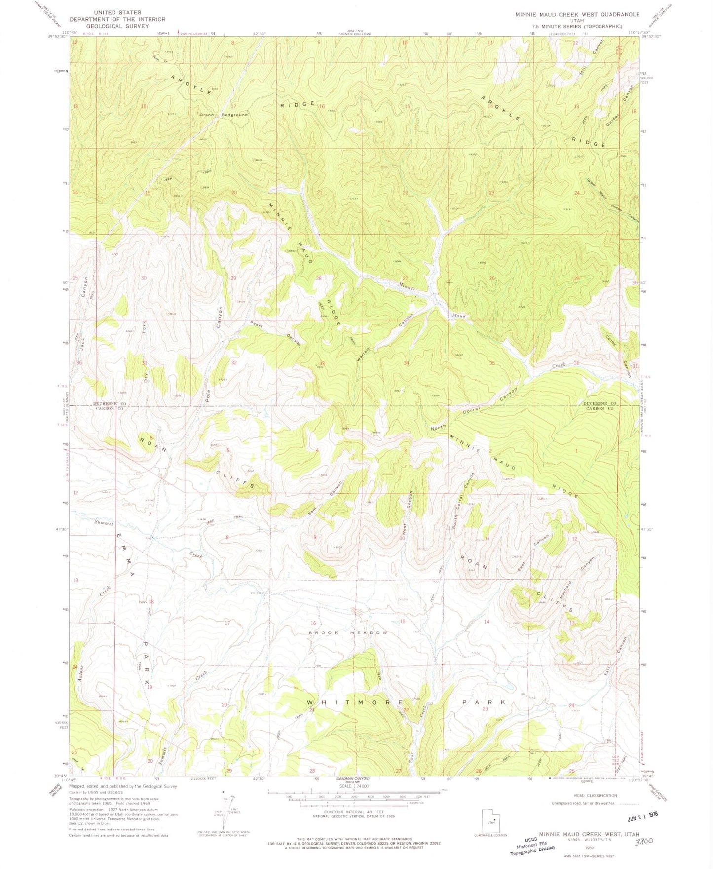
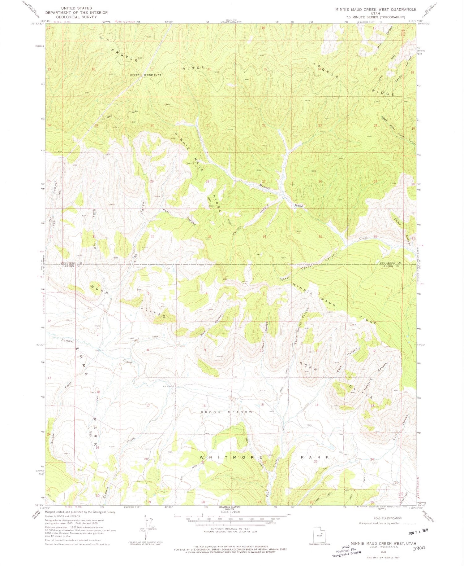
Historical USGS topographic quad map of Minnie Maud Creek West in the state of Utah. Map scale may vary for some years, but is generally around 1:24,000. Print size is approximately 24" x 27"
This quadrangle is in the following counties: Carbon, Duchesne.
The map contains contour lines, roads, rivers, towns, and lakes. Printed on high-quality waterproof paper with UV fade-resistant inks, and shipped rolled.
Contains the following named places: Antone Creek, Argyle Ridge, Brook Meadow, Colby Canyon, Dry Fork, Earl Canyon, East Canyon, Left Fork Summit Creek, Maynard Canyon, Minnie Maud Ridge, North Corral Canyon, Orson Bedground, Pearl Canyon, Pole Canyon, Right Fork Summit Creek, Roan Cliffs, Sam Canyon, South Corral Canyon, Warren Canyon, West Canyon