MyTopo
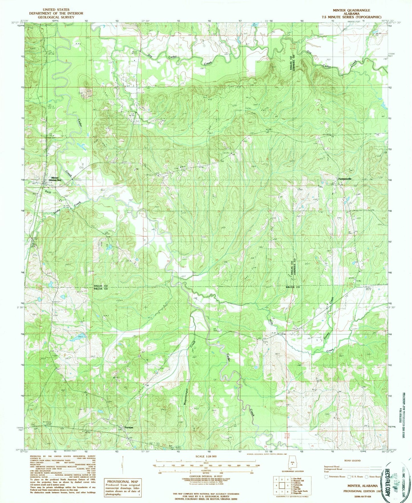
Classic USGS Minter Alabama 7.5'x7.5' Topo Map
Couldn't load pickup availability
Historical USGS topographic quad map of Minter in the state of Alabama. Map scale may vary for some years, but is generally around 1:24,000. Print size is approximately 24" x 27"
This quadrangle is in the following counties: Dallas, Lowndes, Wilcox.
The map contains contour lines, roads, rivers, towns, and lakes. Printed on high-quality waterproof paper with UV fade-resistant inks, and shipped rolled.
Contains the following named places: Bethsaida Church, Burson School, Cedar Creek Cemetery, Cedar Creek Church, Cox Cemetery, Crossroad School, Dawsons, Dubose Chapel, Farmersville, Farmersville Church, Farmersville School, Friendship Church, Furman, Furman Post Office, Hills Creek, Honey Creek, Little Zion Church, Little Zion School, McColough Cemetery, Minter, Minter Post Office, Mount Moriah Church, New Liberty Church, Nixson Hall, Old Snow Hill Cemetery, Purefoy Cemetery, Sacrifice Church, Snake Creek, Snow Hill Cemetery, Snowhill - Furman Volunteer Fire Department, Soles Cemetery, Swift Creek, Tabernacle Witness of Holy Deliverance Church, Tate Church, Temple Gate Church, Thomas Norris Dam, Thomas Norris Pond, Tucker Branch, Wagontongue Creek, Yard School, Zion Rest Church, ZIP Code: 36761


