MyTopo
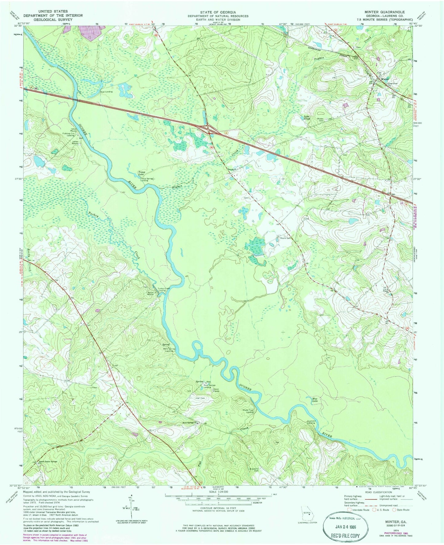
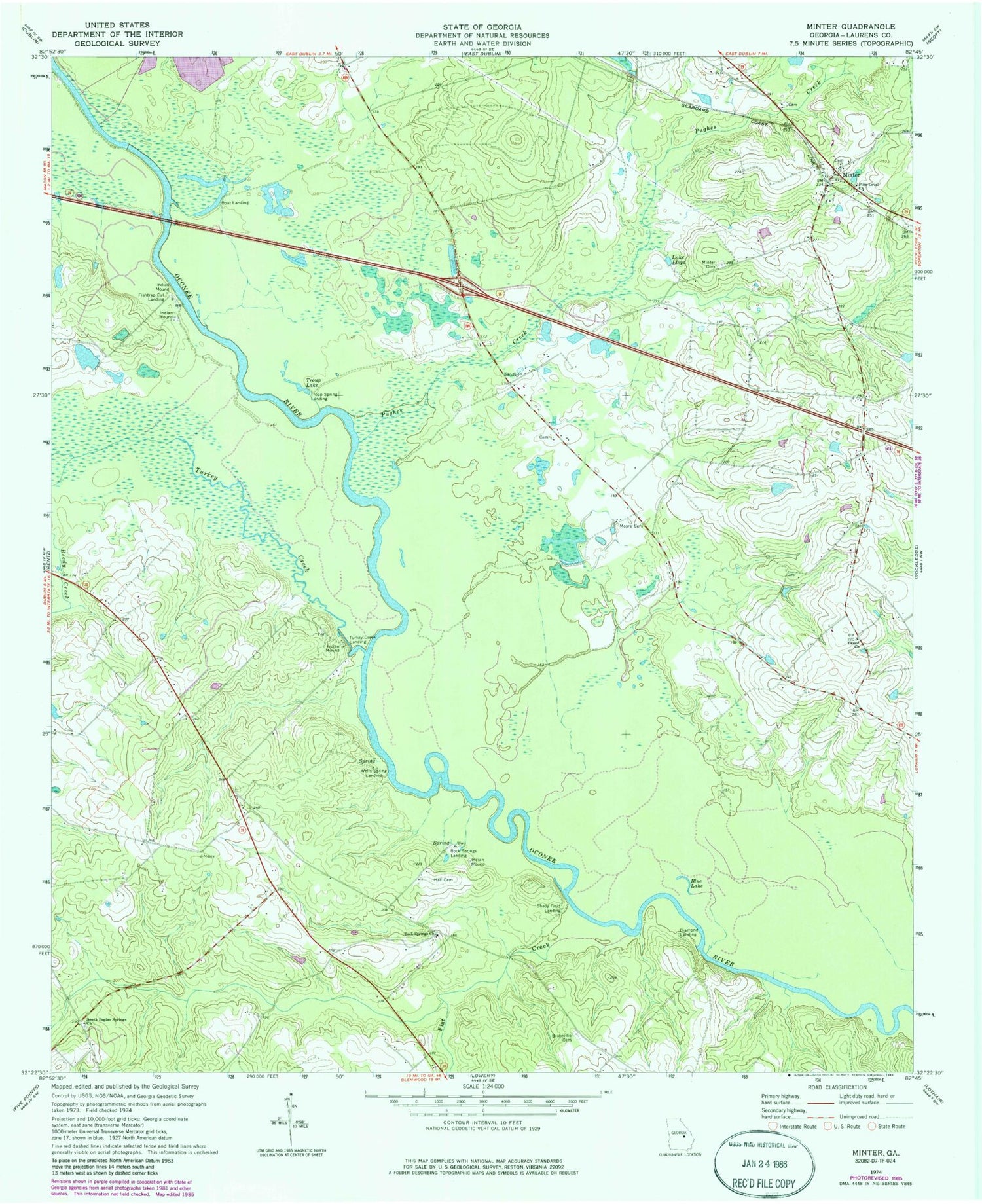
Classic USGS Minter Georgia 7.5'x7.5' Topo Map
Couldn't load pickup availability
Historical USGS topographic quad map of Minter in the state of Georgia. Map scale may vary for some years, but is generally around 1:24,000. Print size is approximately 24" x 27"
This quadrangle is in the following counties: Laurens.
The map contains contour lines, roads, rivers, towns, and lakes. Printed on high-quality waterproof paper with UV fade-resistant inks, and shipped rolled.
Contains the following named places: Barfield Gin, Blue Lake, Braceville Cemetery, Cady Spring Church, Daniel School, Dead River, Diamond Landing, Diamond Landing Ferry, East Dublin Division, Fishtrap Cut Landing, Flat Creek, Hall Cemetery, Harmony School, Lake Lloyd, Laurens County Fire Department Station 15, Laurens County Fire Department Station 8, Lollie, Long Branch School, Minter, Minter Cemetery, Moore Cemetery, Pearly School, Pine Level Church, Pughes Creek, Reedy Creek, Rising Rock School, Rock Springs, Rock Springs Church, Rock Springs Landing, Shaddock Creek, Shady Field Landing, South Poplar Springs Church, Spivey Gin, Tark Hill Pond, Troup Lake, Troup Spring, Troup Spring Landing, Turkey Creek, Turkey Creek Landing, Tweed, Tweed Church, Tweed School, Valdosta Baptist Church, Watson Lake, Watson Lake Dam, Wells Spring, Wells Spring Landing, Wilkes Spring


