MyTopo
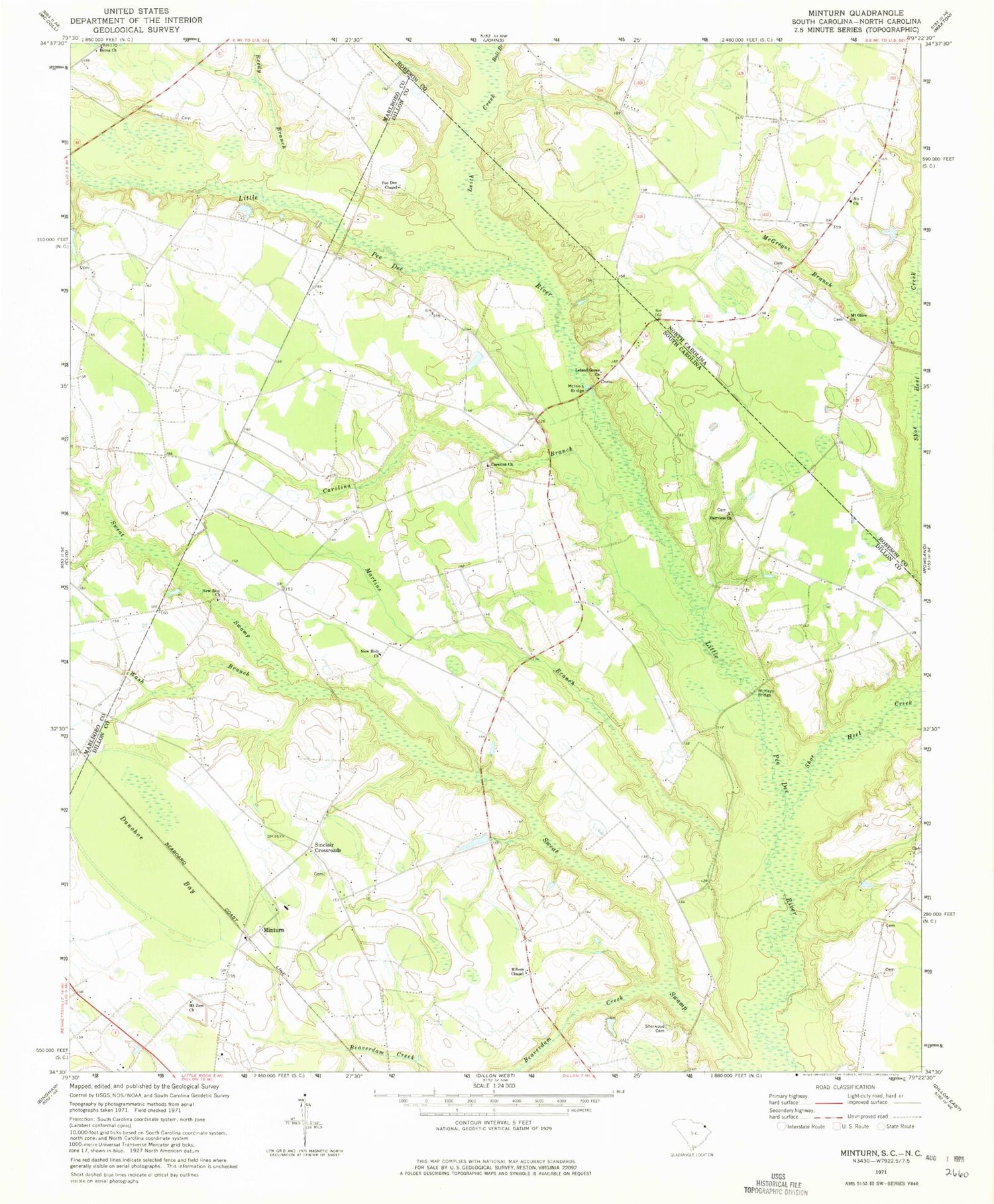
Classic USGS Minturn South Carolina 7.5'x7.5' Topo Map
Couldn't load pickup availability
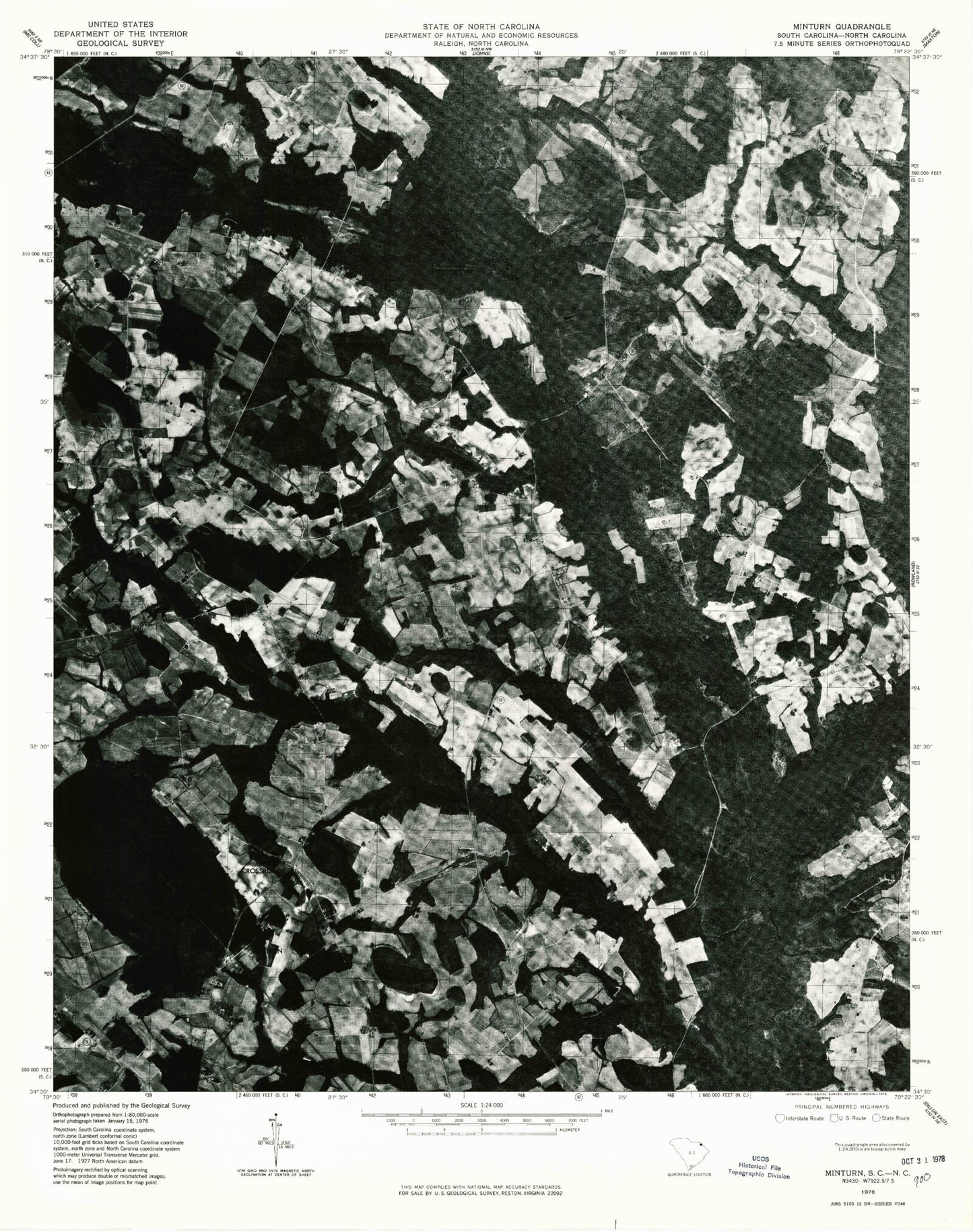
Historical USGS topographic quad map of Minturn in the states of South Carolina, North Carolina. Map scale may vary for some years, but is generally around 1:24,000. Print size is approximately 24" x 27"
This quadrangle is in the following counties: Dillon, Marlboro, Robeson.
The map contains contour lines, roads, rivers, towns, and lakes. Printed on high-quality waterproof paper with UV fade-resistant inks, and shipped rolled.
Contains the following named places: Beaverdam Creek, Berea Church, Berea School, Bull Branch, Carolina, Carolina Branch, Carolina Church, Carolina Presbyterian Church Cemetery, Carolina School, Dillon County Fire Department Station 5, Donohoe Bay, Fairview Church, Fairview Church Cemetery, Glasdrum Farms, Hamer Pond Dam D-3595, Judson, Judson Church, Leith Creek, Leland Grove Cemetery, Leland Grove Church, Leland Grove School, Little Rock Division, Martins Branch, McGregor Branch, McInnis Bridge, McKays Bridge, McRae Mill, Mill Prong School, Millers Chapel, Minturn, Minturn Church, Minturn School, Mount Olive Church, Mount Zion Church, New Holy Church, New Holy School, New Zion Church, Number 7 Church, Oakland Volunteer Fire Department, Parishs Mill, Pee Dee Chapel, Reedy Branch, Reedy Branch Church, Reedy Branch School, Sherwood Cemetery, Shoe Heel Creek, Sinclair Crossroads, Upper South Carolina Pee Dee State Designated Tribal Statistical Area, Verges Chapel, Wash Branch, ZIP Code: 29567