MyTopo
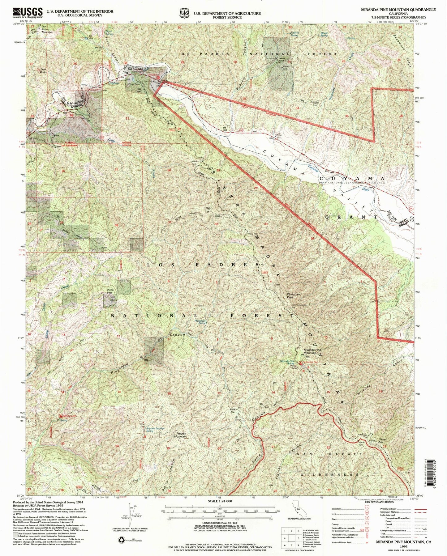
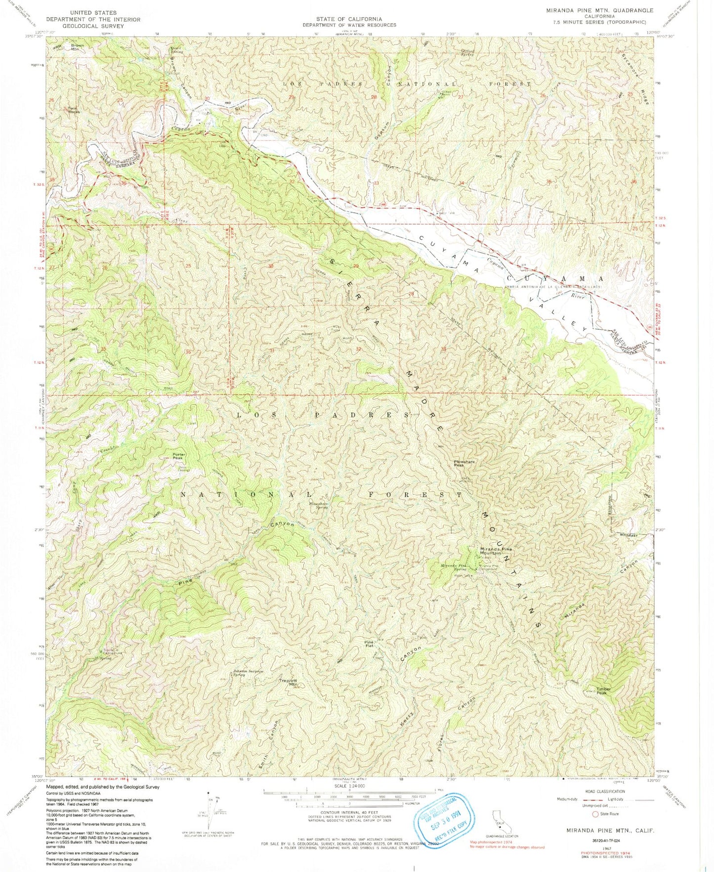
Classic USGS Miranda Pine Mountain California 7.5'x7.5' Topo Map
Couldn't load pickup availability
Historical USGS topographic quad map of Miranda Pine Mountain in the state of California. Map scale may vary for some years, but is generally around 1:24,000. Print size is approximately 24" x 27"
This quadrangle is in the following counties: San Luis Obispo, Santa Barbara.
The map contains contour lines, roads, rivers, towns, and lakes. Printed on high-quality waterproof paper with UV fade-resistant inks, and shipped rolled.
Contains the following named places: Brookshire Campground, Brown Canyon, Brown Mountain, Cuyama Valley, Davis Cabin, Gifford Ranch, Gifford Spring, Gypsum Canyon, Indians Trail, Johnson Surprise Spring, Kerry Canyon Trail, Lake Ridge Trail, Miranda Pine Campground, Miranda Pine Mountain, Miranda Pine Spring, Pine Flat, Plowshare Peak, Plowshare Spring, Porter Peak, Porter Spring, Quail Spring, Rock Front Ranch, Sheep Camp Creek, Sycamore Creek, Timber Peak, Treplett Mountain, Twin Rocks