MyTopo
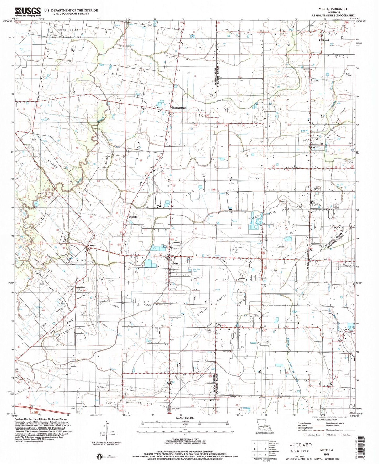
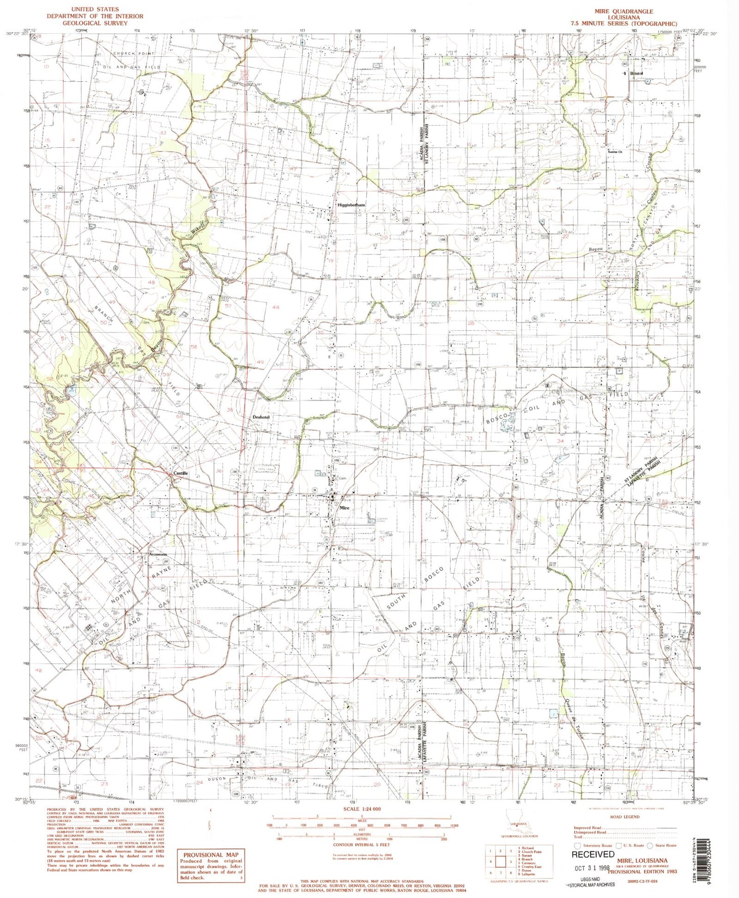
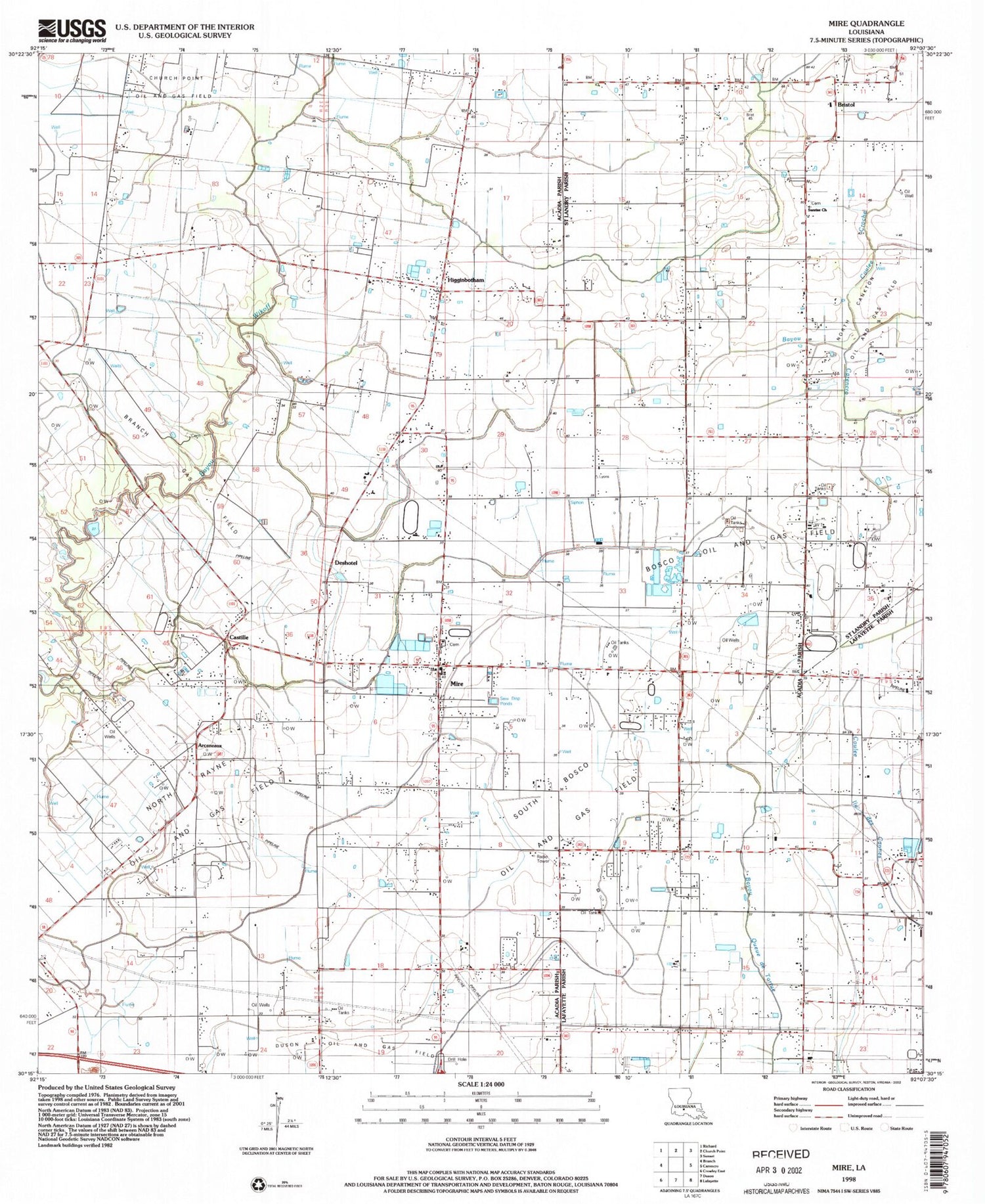
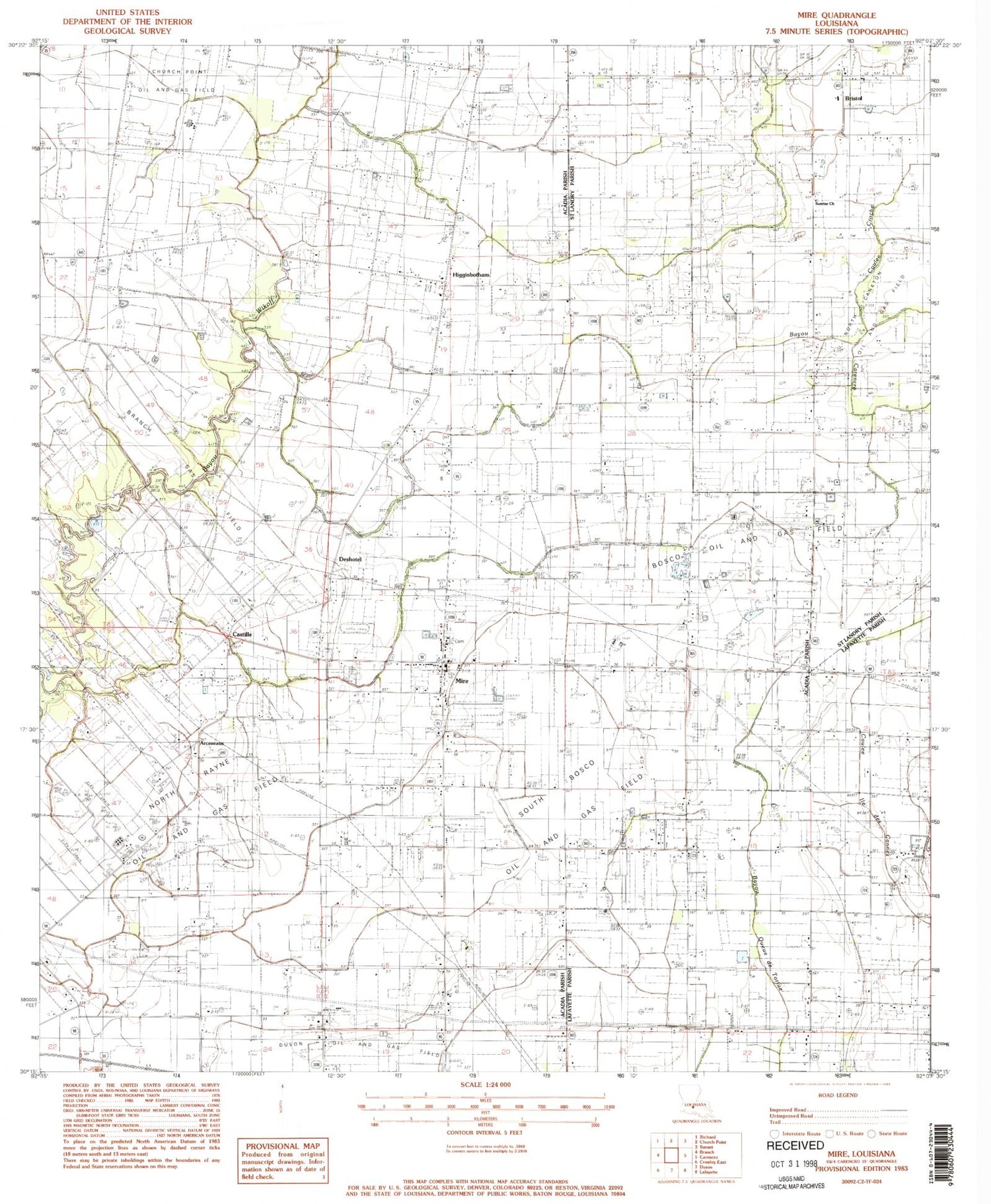
Classic USGS Mire Louisiana 7.5'x7.5' Topo Map
Couldn't load pickup availability
Historical USGS topographic quad map of Mire in the state of Louisiana. Map scale may vary for some years, but is generally around 1:24,000. Print size is approximately 24" x 27"
This quadrangle is in the following counties: Acadia, Lafayette, St. Landry.
The map contains contour lines, roads, rivers, towns, and lakes. Printed on high-quality waterproof paper with UV fade-resistant inks, and shipped rolled.
Contains the following named places: Arceneaux, Arseneaux School, Bosco Oil Field, Branch Gas Field, Bristol, Castille, Church of the Assumption, Coulee Croche, Cozy Acres Mobile Home Park, Deshotel, Deshotel School, Higginbotham, KADN-TV (Lafayette), KRVS-FM (Lafayette), KSMB-FM (Lafayette), Mire, Mire Elementary School, Mire Volunteer Fire Department District 7, Mount Calvary Cemetery, North Rayne Oil and Gas Field, Parish Governing Authority District 10, Parish Governing Authority District 5, Parish Governing Authority District 6, Sievers Field, South Bosco Oil and Gas Field, South Church Point Oil and Gas Field, Stafford Airport, Sunrise Church