MyTopo
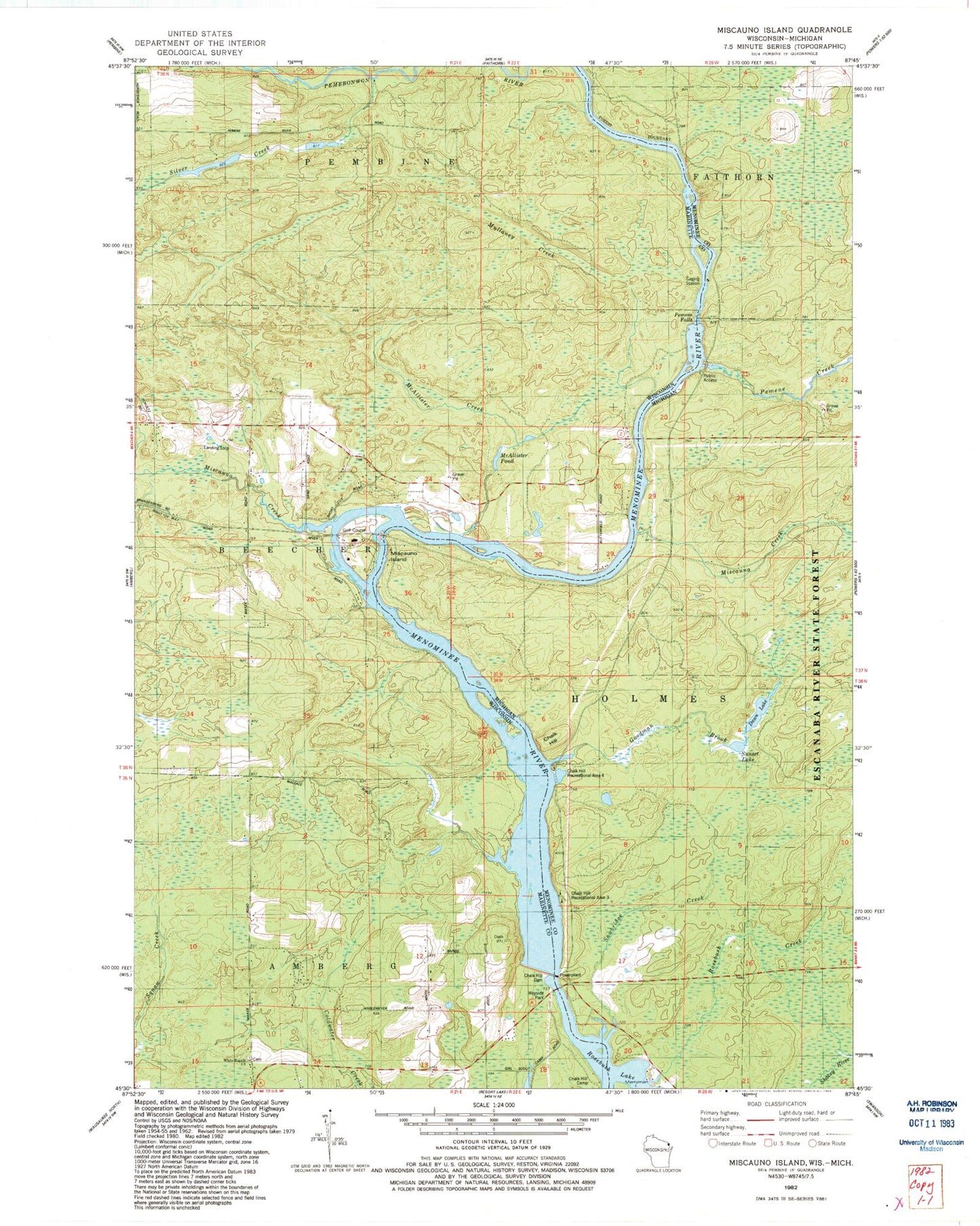
Classic USGS Miscauno Island Wisconsin 7.5'x7.5' Topo Map
Couldn't load pickup availability
Historical USGS topographic quad map of Miscauno Island in the states of Wisconsin, Michigan. Typical map scale is 1:24,000, but may vary for certain years, if available. Print size: 24" x 27"
This quadrangle is in the following counties: Marinette, Menominee.
The map contains contour lines, roads, rivers, towns, and lakes. Printed on high-quality waterproof paper with UV fade-resistant inks, and shipped rolled.
Contains the following named places: Chalk Hill Dam, McAllister Creek, McAllister Pond, Miscauno Creek, Miscauno Island, White Rapids Church, Mullaney Creek, Silver Creek, Shangrila Airport, Chalk Hill Bridge, White Pine Haven, White Rapids School (historical), Chalk Hill Flowage, Chalk Hill, Chalk Hill Dam, Dawn Lake, Goodman Brook, Miscauna Creek, Pemene Creek, Pemene Falls, Sawbridge Creek, Sunset Lake, Chalk Hill Recreational Area Three, Chalk Hill Recreational Area Four