MyTopo
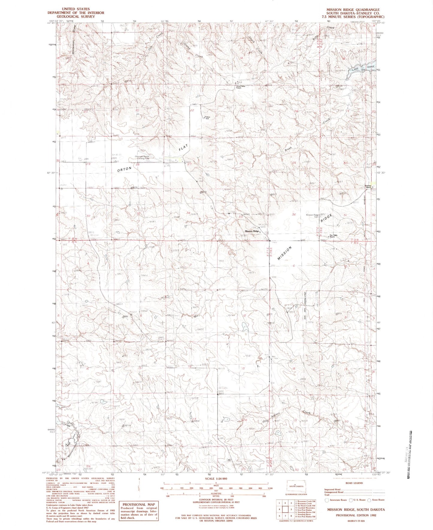
Classic USGS Mission Ridge South Dakota 7.5'x7.5' Topo Map
Couldn't load pickup availability
Historical USGS topographic quad map of Mission Ridge in the state of South Dakota. Map scale may vary for some years, but is generally around 1:24,000. Print size is approximately 24" x 27"
This quadrangle is in the following counties: Stanley.
The map contains contour lines, roads, rivers, towns, and lakes. Printed on high-quality waterproof paper with UV fade-resistant inks, and shipped rolled.
Contains the following named places: Ancel Tibbs Ranch, Anderson Number 1 Dam, Chisholm Number 1 Dam, Chisholm Ranch Landing Field, Dick Deal Landing Strip, Doc Tibbs Ranch, Donelan Ranch, J E Sheehan Estate Number 1 Dam, J E Sheehan Estate Number 2 Dam, Mission Ridge, Mission Ridge Cemetery, Orton, Orton Flat, Orton School