MyTopo
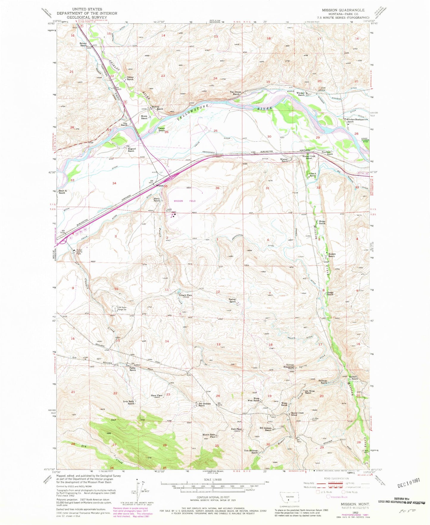
Classic USGS Mission Montana 7.5'x7.5' Topo Map
Couldn't load pickup availability
Historical USGS topographic quad map of Mission in the state of Montana. Map scale may vary for some years, but is generally around 1:24,000. Print size is approximately 24" x 27"
This quadrangle is in the following counties: Park.
The map contains contour lines, roads, rivers, towns, and lakes. Printed on high-quality waterproof paper with UV fade-resistant inks, and shipped rolled.
Contains the following named places: 01S10E22C___01 Well, 01S10E23C___01 Well, 01S10E24A___01 Well, Africa, Balmer Ditch, Balmer Ranch, Beaver Creek, Beaver Creek School, Bill Graham Ranch, Bruffey Cemetery, Burkland Lumber Company Spur, CAA Radio Range Station, Chicken Creek, Crow Agency, Dahl Place, Dodge Ranch, Fisher Ranch, Fort Green Clay Smith, Fort Ida Thoroughman, Fort Parker, Helger Ranch, Highway 89 Bridge Fishing Access Site, Hodges Ditch, Hodges Ranch, Hogsted Ranch, ICAA Radio Range Station, Irvin Rahn Ranch, Jim Graham Ranch, Joe Weiss Ranch, Larson Ranch, Middle Windsor Ditch, Minnie Rahn Place, Mission, Mission Creek, Mission Creek School, Mission Field, Mission Post Office, Mission Ranch, Murry Ranch, Myers Ranch, Nichols Spur, Norman Homestead, O Bar A Ranch, Olin Ranch, Palmer Ranch, Poison Creek, Poor Farm Cemetery, Rasheg Ranch, Shaw Place, Sheep Mountain Fishing Access Site, Shields River, Shields River Post Office, Skillman Ranch, Spring Creek, Steeves Ranch, Sunset County Farm, Teichert Ranch, Tendland Ranch, Tom Skillman Ranch, Urbach School, Urback Place, Vallis Ditch, Van Ornum Ranch, Weiss Ranch, Weiss West Ranch, Windsor Headquarters Ranch, Windsor Ranch


