MyTopo
Classic USGS Miston Tennessee 7.5'x7.5' Topo Map
Couldn't load pickup availability
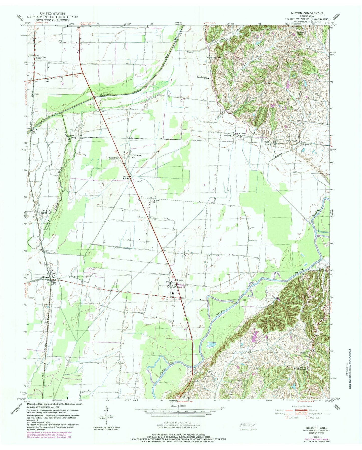
Historical USGS topographic quad map of Miston in the state of Tennessee. Map scale may vary for some years, but is generally around 1:24,000. Print size is approximately 24" x 27"
This quadrangle is in the following counties: Dyer, Lake, Obion.
The map contains contour lines, roads, rivers, towns, and lakes. Printed on high-quality waterproof paper with UV fade-resistant inks, and shipped rolled.
Contains the following named places: Bledsoe Cemetery, Bogota, Bogota Baptist Church, Bogota Census Designated Place, Bogota Elementary School, Bogota Post Office, Bogota Volunteer Fire Department, Booger Den Hollow, Broadmoor, Brown Creek, Bruces Chapel, Bryants Chapel, Calvary, Calvary Church, Cat Corner, Commissioner District 4, Cunningham, Cunningham Church, Cunningham School, Daugherty Creek, District 16, Horn Ridge Cemetery, Hornridge Methodist Church, Inman Hollow, Johnson Creek, Millsfield, Millsfield Fire Department, Millsfield School, Miston, Miston Baptist Church, Miston Census Designated Place, Miston Post Office, Rehoboth Church, Rolling Acres Lake Dam, Rolling Acres Reservoir, Solid Rock Church, United States Forest Service Tennessee Forestry Division, Woodward Chapel, ZIP Code: 38007


