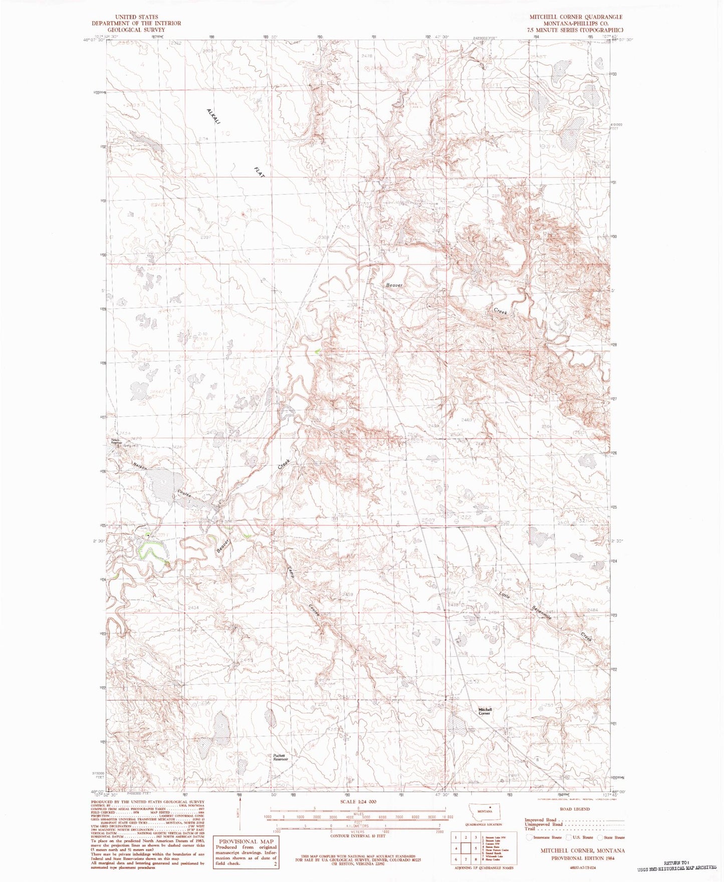
MyTopo
Classic USGS Mitchell Corner Montana 7.5'x7.5' Topo Map
Regular price
$16.95
Regular price
Sale price
$16.95
Unit price
per
Couldn't load pickup availability
Historical USGS topographic quad map of Mitchell Corner in the state of Montana. Map scale may vary for some years, but is generally around 1:24,000. Print size is approximately 24" x 27"
This quadrangle is in the following counties: Phillips.
The map contains contour lines, roads, rivers, towns, and lakes. Printed on high-quality waterproof paper with UV fade-resistant inks, and shipped rolled.
Contains the following named places: 27N30E34CA__01 Well, 59538, Alkali Flat, Camp Coulee, Linair Post Office, Linair School, Mitchell Corner, Nelson Coulee, Nelson Dam, Puckett Reservoir, Sunday Milk Dam, Westward Winds Dam