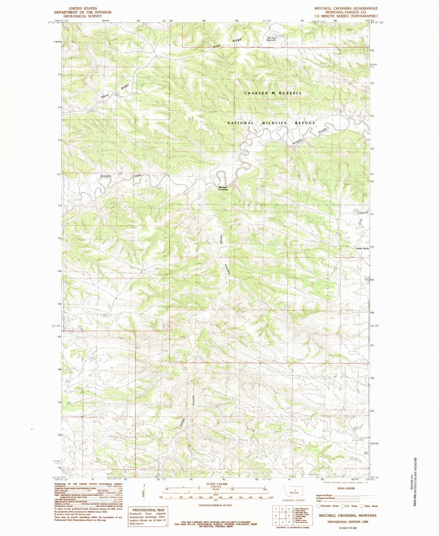
MyTopo
Classic USGS Mitchell Crossing Montana 7.5'x7.5' Topo Map
Regular price
$16.95
Regular price
Sale price
$16.95
Unit price
per
Couldn't load pickup availability
Historical USGS topographic quad map of Mitchell Crossing in the state of Montana. Map scale may vary for some years, but is generally around 1:24,000. Print size is approximately 24" x 27"
This quadrangle is in the following counties: Fergus.
The map contains contour lines, roads, rivers, towns, and lakes. Printed on high-quality waterproof paper with UV fade-resistant inks, and shipped rolled.
Contains the following named places: 20N23E03AA__01 Well, 20N23E03ADCC01 Well, 20N23E04CC__01 Well, 21N23E18DA__01 Well, 21N23E22CDCC01 Well, Bundane Post Office, Fargo Coulee, Flat Top Reservoir, Indian Butte, Indian Butte School, Knox Ridge, Knox Ridge Airport, Mitchell Crossing