MyTopo
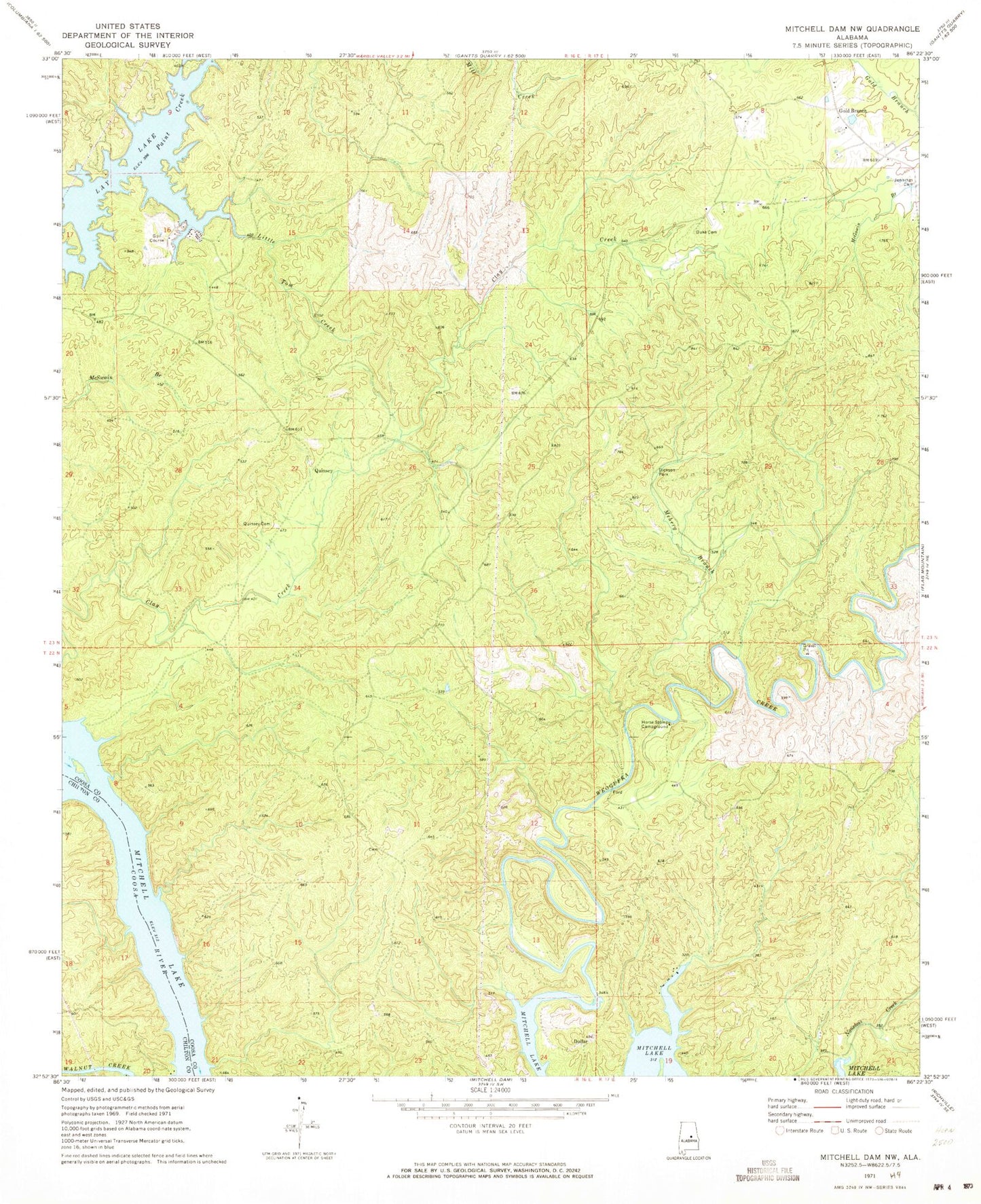
Classic USGS Mitchell Dam NW Alabama 7.5'x7.5' Topo Map
Couldn't load pickup availability
Historical USGS topographic quad map of Mitchell Dam NW in the state of Alabama. Typical map scale is 1:24,000, but may vary for certain years, if available. Print size: 24" x 27"
This quadrangle is in the following counties: Chilton, Coosa.
The map contains contour lines, roads, rivers, towns, and lakes. Printed on high-quality waterproof paper with UV fade-resistant inks, and shipped rolled.
Contains the following named places: Dickson Park, Duke Cemetery, Jennings Cemetery, Little Tom Creek, Meherg Branch, Noneless Creek, Quinsey Cemetery, Blackmons Landing, Ham Lewis Cemetery, Little Joes Fish Camp, Little Toms Fish Camp, Paty Fishing Camp, Dollar, Gold Branch, Quinsey, Fitzpatrick Mine, Ivey Mine, Hidden Valley, Sehoya, Horse Stomp Campground


