MyTopo
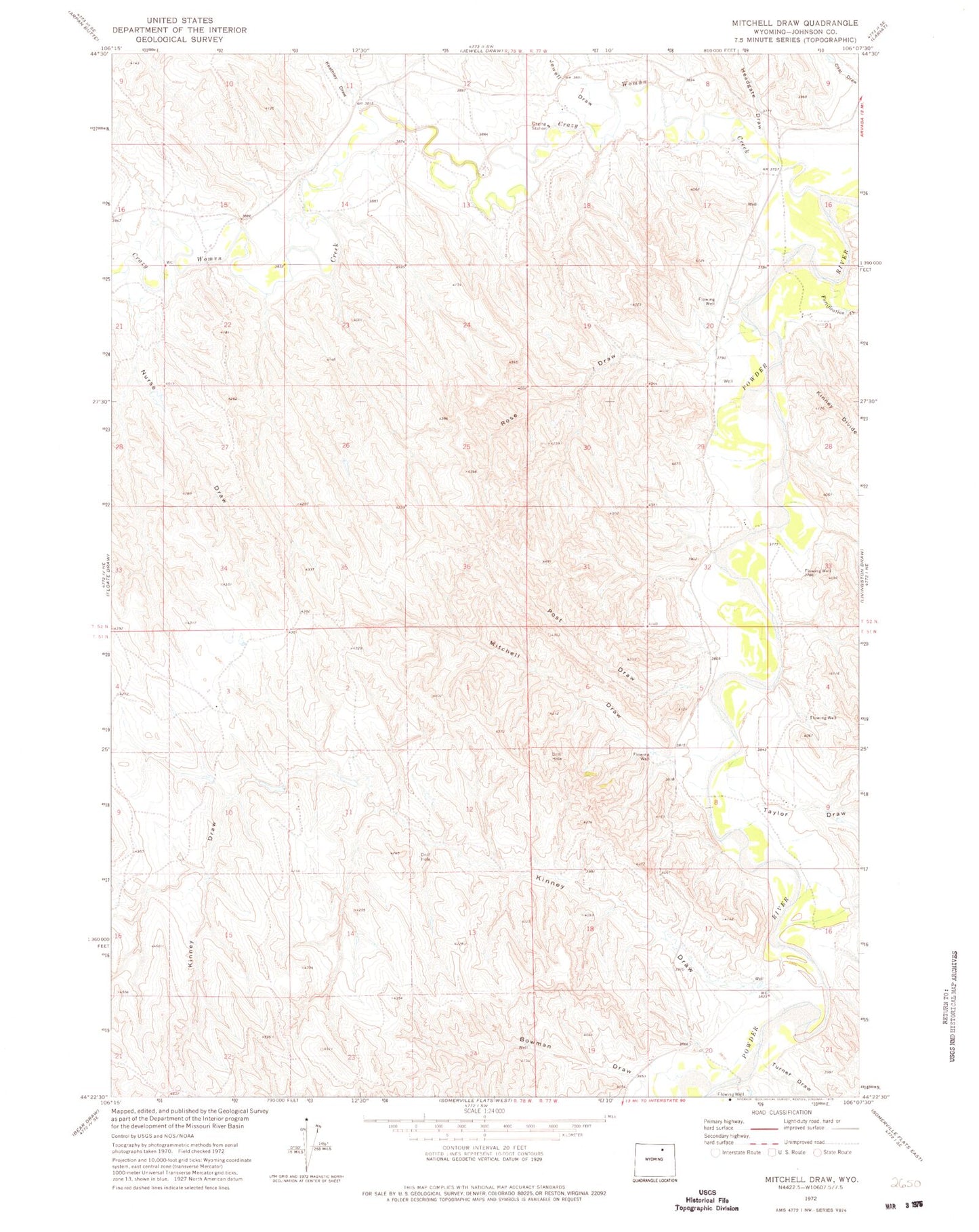
Classic USGS Mitchell Draw Wyoming 7.5'x7.5' Topo Map
Couldn't load pickup availability
Historical USGS topographic quad map of Mitchell Draw in the state of Wyoming. Map scale may vary for some years, but is generally around 1:24,000. Print size is approximately 24" x 27"
This quadrangle is in the following counties: Johnson.
The map contains contour lines, roads, rivers, towns, and lakes. Printed on high-quality waterproof paper with UV fade-resistant inks, and shipped rolled.
Contains the following named places: Bowman Draw, Crazy Woman Creek, Fortification Creek, Headgate Draw, Henry Number 1 Dam, Henry Number 1 Reservoir, Jewell Draw, John Dam, John Reservoir, Keathley Draw, Kinney Draw, Mitchell Draw, Mitchell Draw Dam, Mitchell Draw Reservoir, Nurse Draw, Post Draw, Rose Draw, Taylor Draw, Turner Draw