
MyTopo
Classic USGS Mitchell Island Louisiana 7.5'x7.5' Topo Map
Regular price
$16.95
Regular price
Sale price
$16.95
Unit price
per
Couldn't load pickup availability
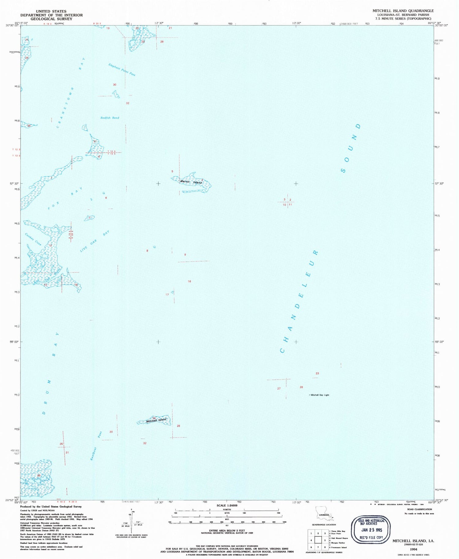
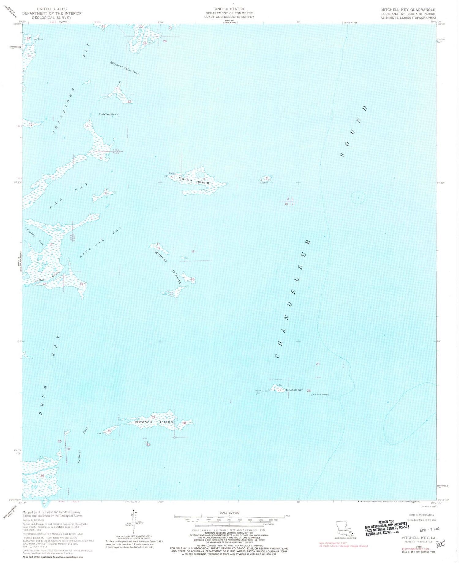
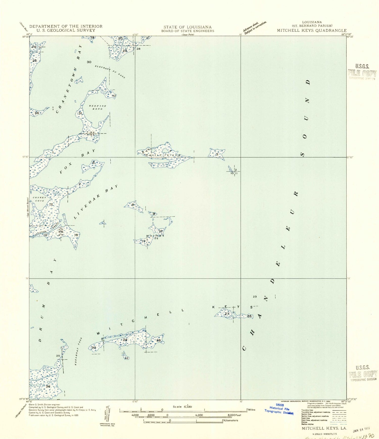
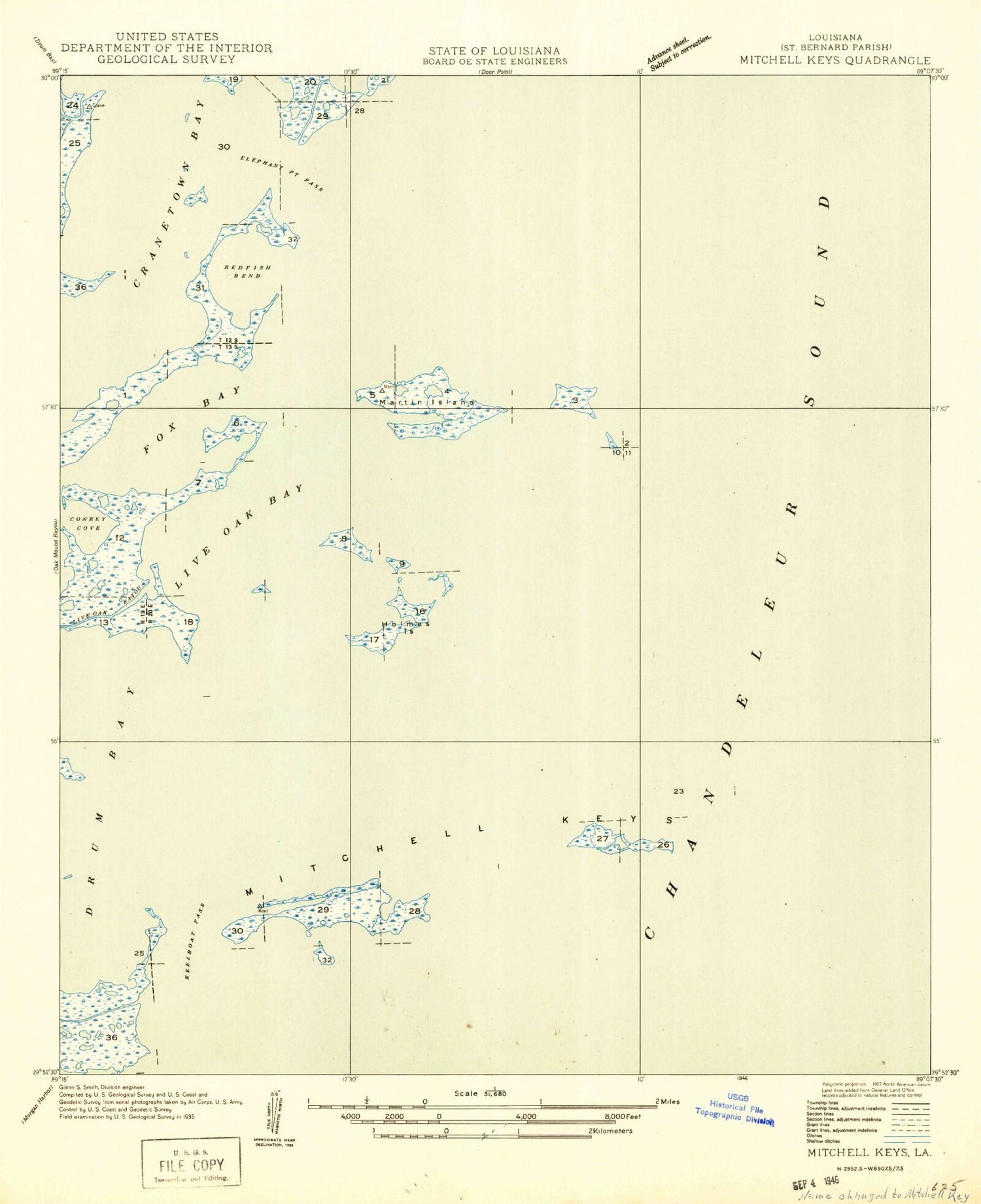
Historical USGS topographic quad map of Mitchell Island in the state of Louisiana. Map scale may vary for some years, but is generally around 1:24,000. Print size is approximately 24" x 27"
This quadrangle is in the following counties: St. Bernard.
The map contains contour lines, roads, rivers, towns, and lakes. Printed on high-quality waterproof paper with UV fade-resistant inks, and shipped rolled.
Contains the following named places: Cranetown Bay, Elephant Point Pass, Fox Bay, Frame Isle, Holmes Islands, Keel Boat Isle, Keelboat Pass, Live Oak Bay, Martin Island, Mitchell Island, Mitchell Key, Redfish Bend, Turtle Pen Isle


