MyTopo
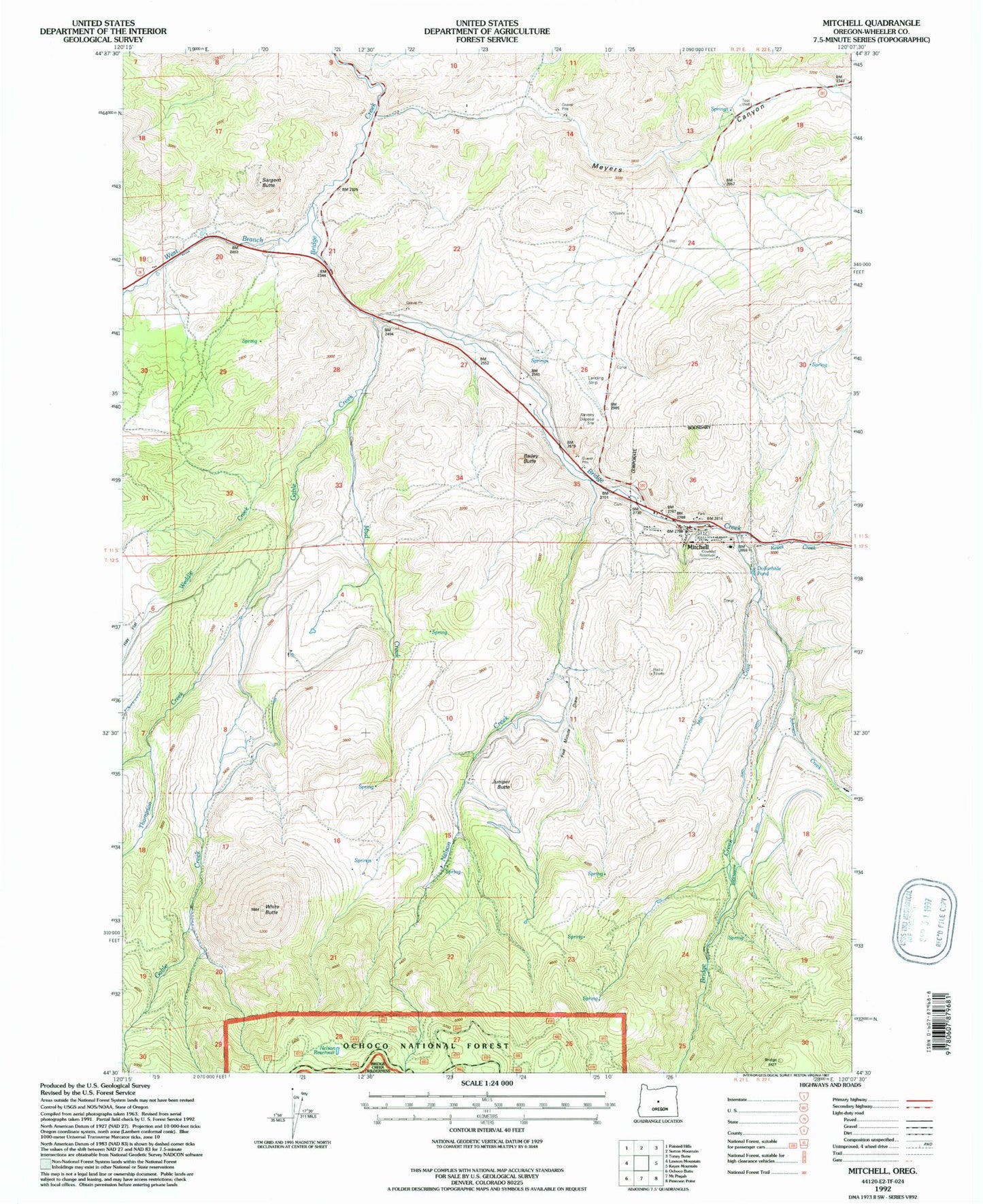
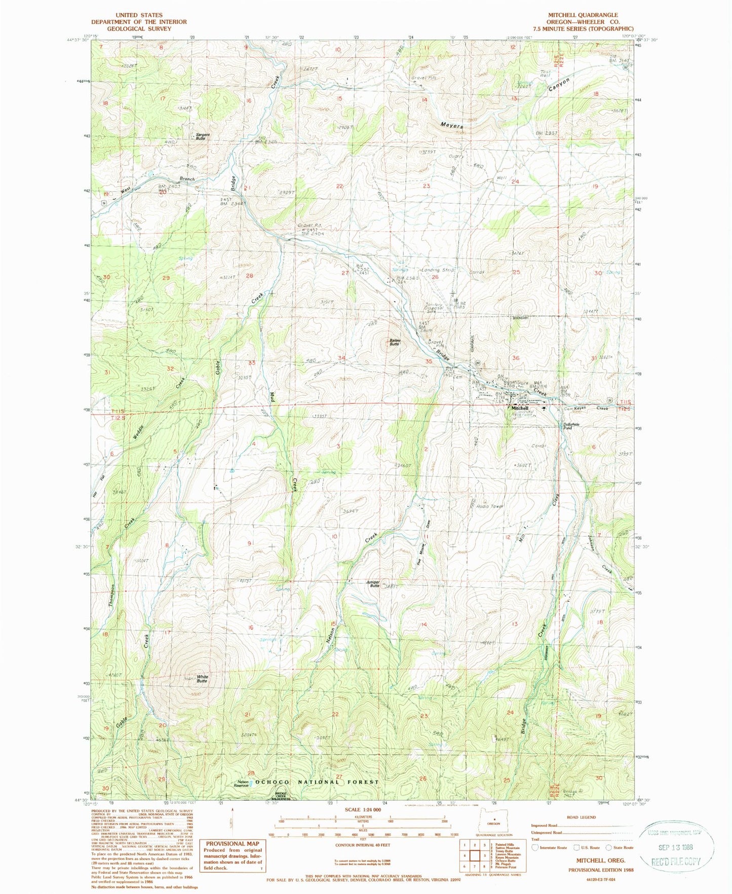
Classic USGS Mitchell Oregon 7.5'x7.5' Topo Map
Couldn't load pickup availability
Historical USGS topographic quad map of Mitchell in the state of Oregon. Map scale may vary for some years, but is generally around 1:24,000. Print size is approximately 24" x 27"
This quadrangle is in the following counties: Wheeler.
The map contains contour lines, roads, rivers, towns, and lakes. Printed on high-quality waterproof paper with UV fade-resistant inks, and shipped rolled.
Contains the following named places: Bailey Butte, Black Chunk Canyon, City of Mitchell, Dollarhide Pond, Five Minute Draw, Gable Creek, Gable Creek School, Hall Ditch, Hudspeth Mill, Johnson Creek, Juniper Butte, Keyes Creek, Lower Mitchell Cemetery, Meyers Canyon, Mill Creek, Mitchell, Mitchell Airstrip, Mitchell Cemetery, Mitchell Community Hall, Mitchell Justice Court, Mitchell Post Office, Mitchell School, Mitchell Volunteer Fire Department, Mud Creek, Nelson Creek, Nelson Reservoir, Paynes Pond, Sargent Butte, Shoemaker Ditch, Thompson Creek, Weddle Creek, West Branch Bridge Creek, West Nelson Creek, White Butte


