MyTopo
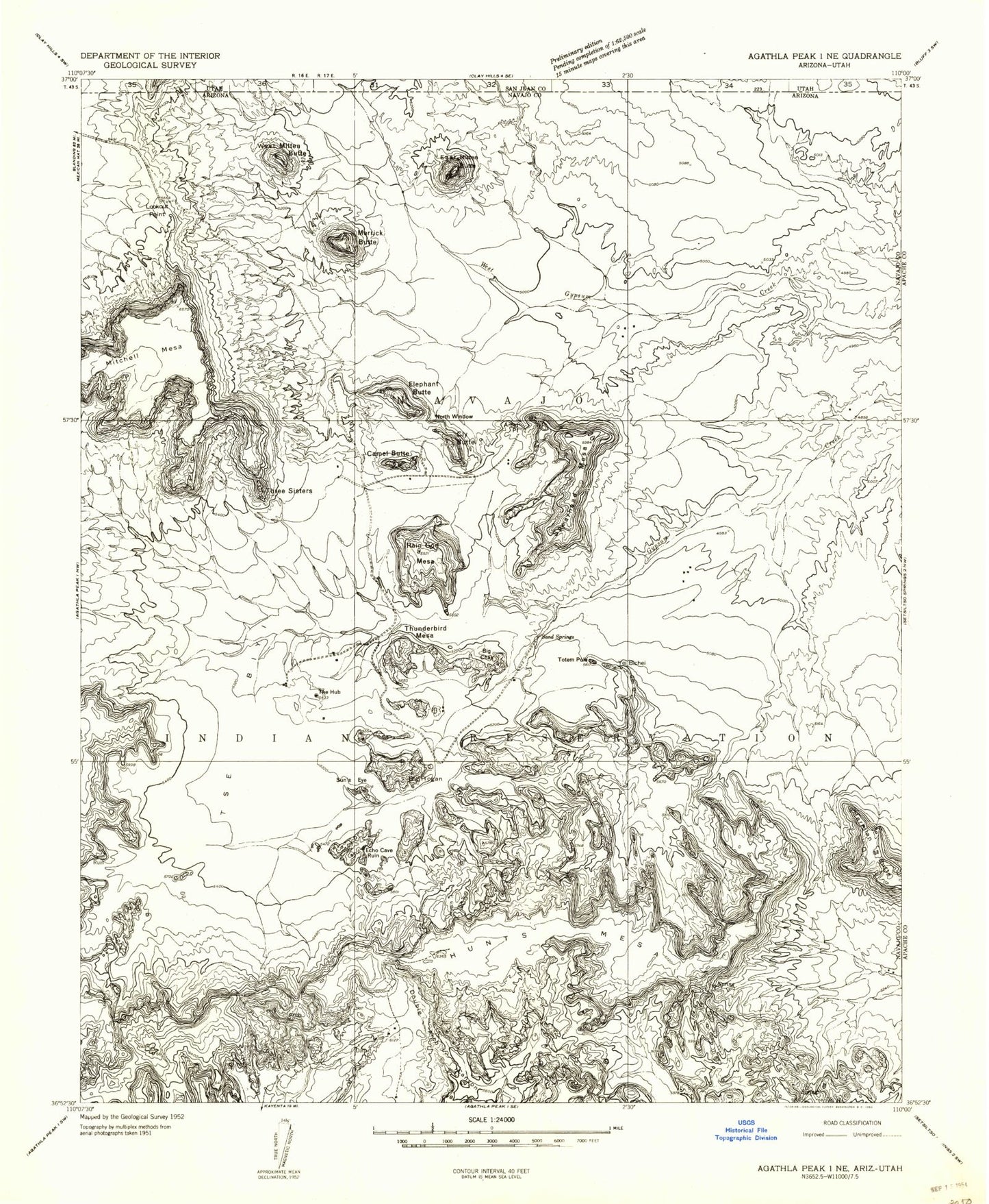
Classic USGS Mitten Buttes Arizona 7.5'x7.5' Topo Map
Couldn't load pickup availability
Historical USGS topographic quad map of Mitten Buttes in the state of Arizona. Map scale may vary for some years, but is generally around 1:24,000. Print size is approximately 24" x 27"
This quadrangle is in the following counties: Apache, Navajo, San Juan.
The map contains contour lines, roads, rivers, towns, and lakes. Printed on high-quality waterproof paper with UV fade-resistant inks, and shipped rolled.
Contains the following named places: Big Chair, Big Hogan, Camel Butte, Clara Bernheimer Natural Bridge, Cly Butte, Donut Arch, Ear of the Wind, East Mitten Butte, Elephant Butte, Eye of the Dove, Hidden Bridge, Hunts Mesa, Lookout Point, Meridian Butte, Merrick Butte, Mitchell Mesa, Moccasin Arch, Monument Valley Navajo Tribal Park, Natural Arch, North Window, Rain God Mesa, Sand Spring, Spearhead Mesa, Spiderweb Arch, Suns Eye, The Hub, Three Sisters, Thunderbird Mesa, Totem Pole, Tse Biyi, Vreeland Arch, West Mitten Butte, Yei Bichei


