MyTopo
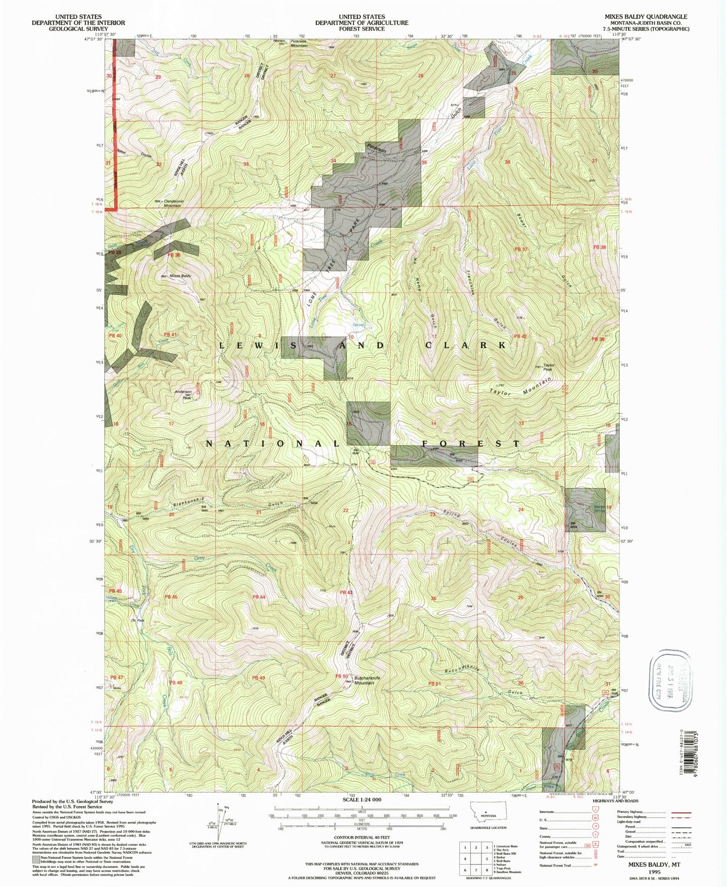
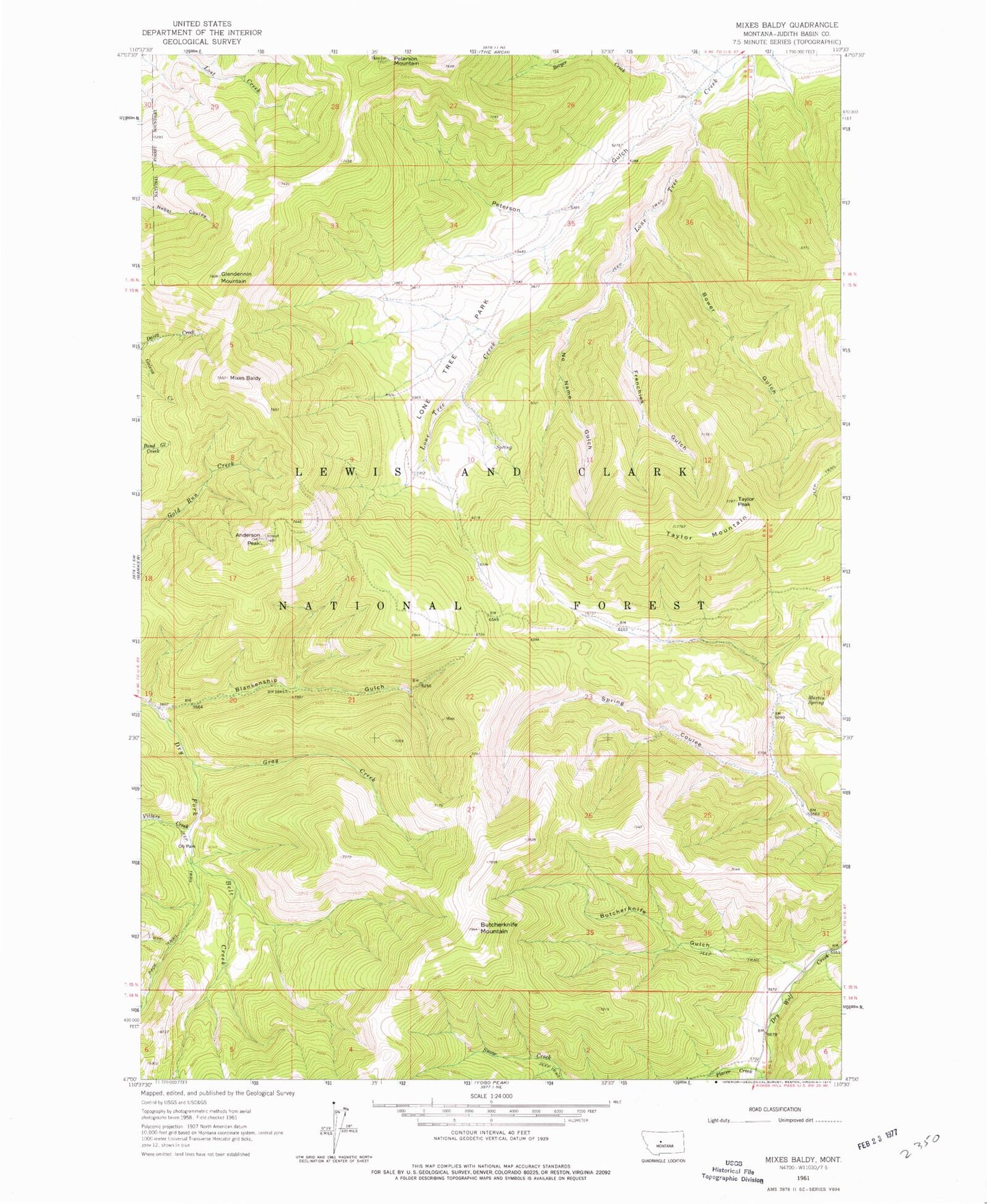
Classic USGS Mixes Baldy Montana 7.5'x7.5' Topo Map
Couldn't load pickup availability
Historical USGS topographic quad map of Mixes Baldy in the state of Montana. Typical map scale is 1:24,000, but may vary for certain years, if available. Print size: 24" x 27"
This quadrangle is in the following counties: Judith Basin.
The map contains contour lines, roads, rivers, towns, and lakes. Printed on high-quality waterproof paper with UV fade-resistant inks, and shipped rolled.
Contains the following named places: Peterson Mountain, Anderson Peak, Berger Creek, Blankenship Gulch, Bower Gulch, Butcherknife Gulch, Butcherknife Mountain, Frenchies Gulch, Gray Creek, Lone Tree Park, Martin Spring, Mixes Baldy, No Name Gulch, Oti Park, Peterson Gulch, Placer Creek, Taylor Mountain, Taylor Peak, Villars Creek, Clendenin Mountain, NW SW Section 22 Mine, Montgomery Mine, NE SE Section 31 Mine, NE SW Section 22 Mine, Harrison/Moulton Mine, Moulton Mine, Tiger Mine, 16N09E25CC__01 Spring, 16N09E26D___01 Well, 16N09E25AB__01 Spring, Niles Post Office (historical), Geer Post Office (historical), Lone Tree Park Cemetery


