MyTopo
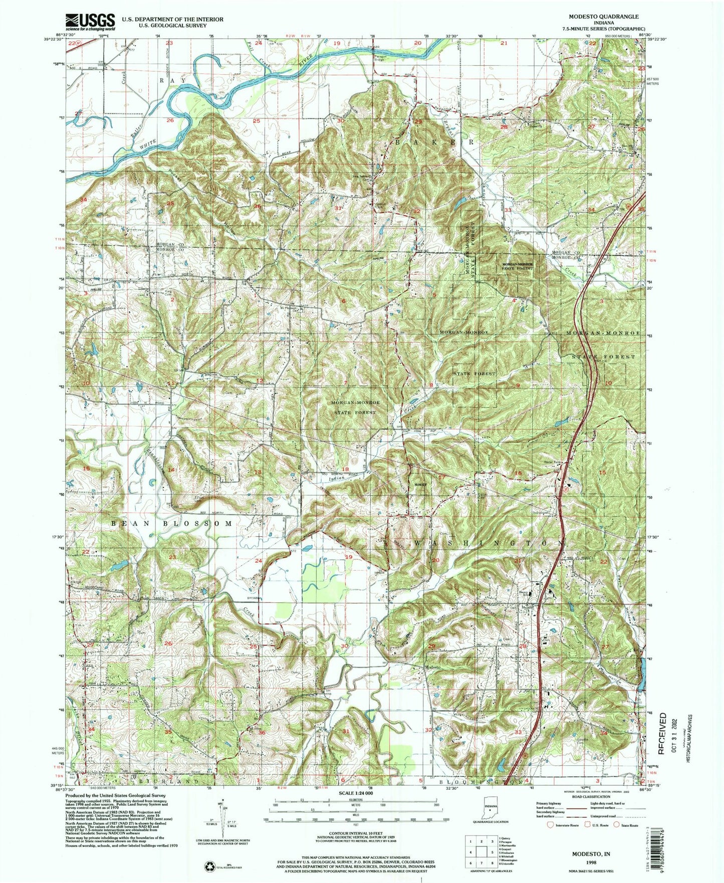
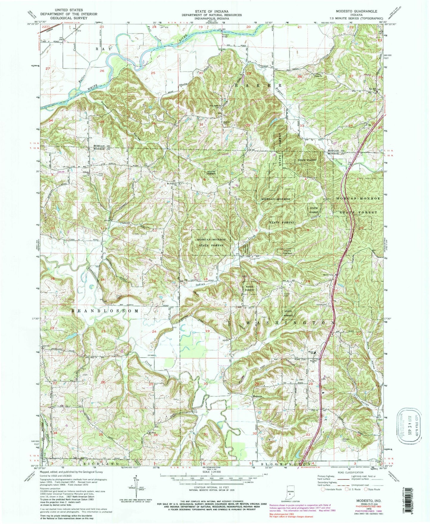
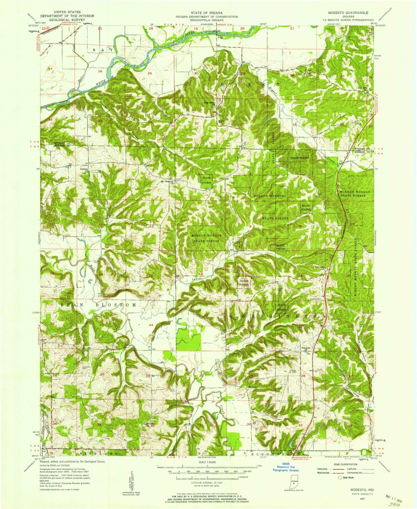
Classic USGS Modesto Indiana 7.5'x7.5' Topo Map
Couldn't load pickup availability
Historical USGS topographic quad map of Modesto in the state of Indiana. Map scale may vary for some years, but is generally around 1:24,000. Print size is approximately 24" x 27"
This quadrangle is in the following counties: Monroe, Morgan.
The map contains contour lines, roads, rivers, towns, and lakes. Printed on high-quality waterproof paper with UV fade-resistant inks, and shipped rolled.
Contains the following named places: Brown Elementary School, Bryant Creek, Butler Creek, Collier Cemetery, Elliott Cemetery, Fall Creek, Fox Hollow, Henke Lake, Henke Lake Dam, Indian Creek, King Cemetery, Liberty Church, Modesto, Morgan-Monroe State Forest, Mount Olive Church, Mount Pleasant Church, New Salem Church, Paragon Bridge, Paragon Lake, Paragon Lake Dam, Pocket Hollow, Sample Cemetery, Simpson Church, Sodom Cemetery, Township of Baker, Township of Washington, Union Church, Wayport, Zion Hill Church, ZIP Code: 47429