MyTopo
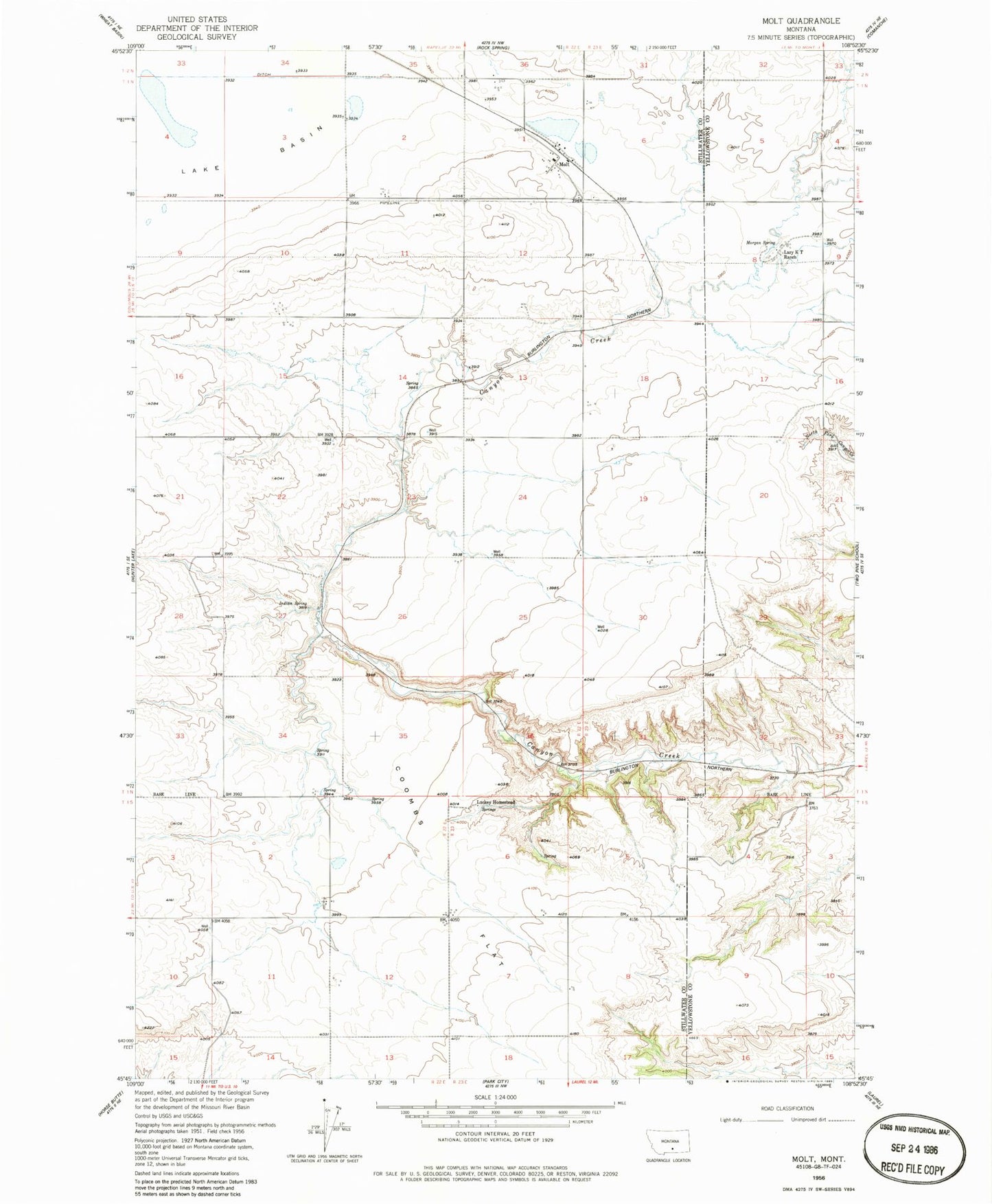
Classic USGS Molt Montana 7.5'x7.5' Topo Map
Couldn't load pickup availability
Historical USGS topographic quad map of Molt in the state of Montana. Map scale may vary for some years, but is generally around 1:24,000. Print size is approximately 24" x 27"
This quadrangle is in the following counties: Stillwater, Yellowstone.
The map contains contour lines, roads, rivers, towns, and lakes. Printed on high-quality waterproof paper with UV fade-resistant inks, and shipped rolled.
Contains the following named places: 01N22E02BCBC01 Well, 01N22E02CDCA01 Well, 01N22E02CDCD01 Well, 01N22E10DCCD01 Well, 01N22E11CCCC01 Well, 01N22E14BCCC01 Well, 01N22E14CDAB01 Well, 01N22E15ABBB01 Well, 01N23E08ACCA01 Well, 01S22E12AAAA01 Well, 59057, Coombs, Coombs Flat, Indian Spring, Lazy K T Ranch, Luckey Homestead, Molt, Molt Post Office, Molt School, Molt Volunteer Fire Department, Morgan Spring, Thurza Post Office