MyTopo
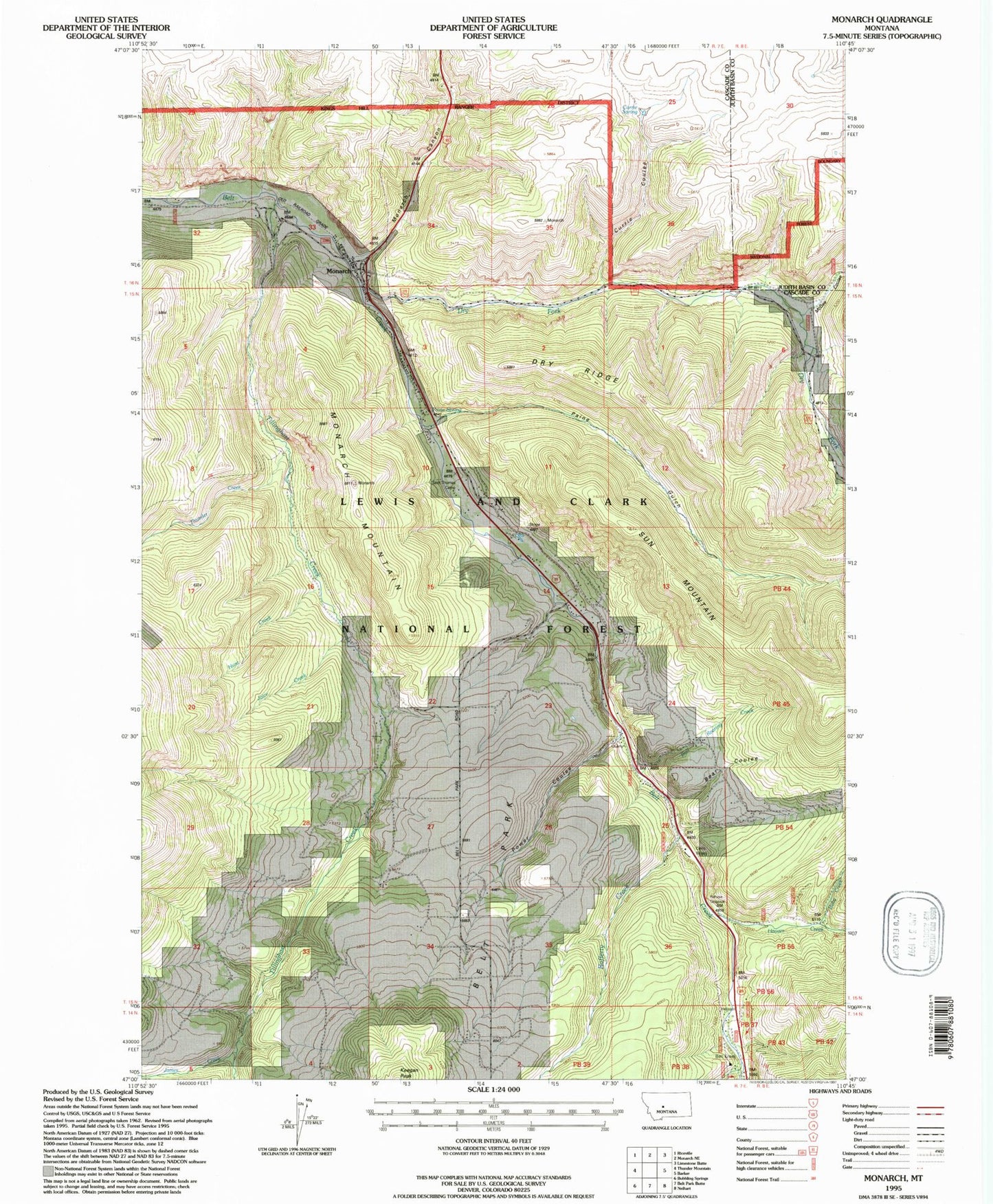
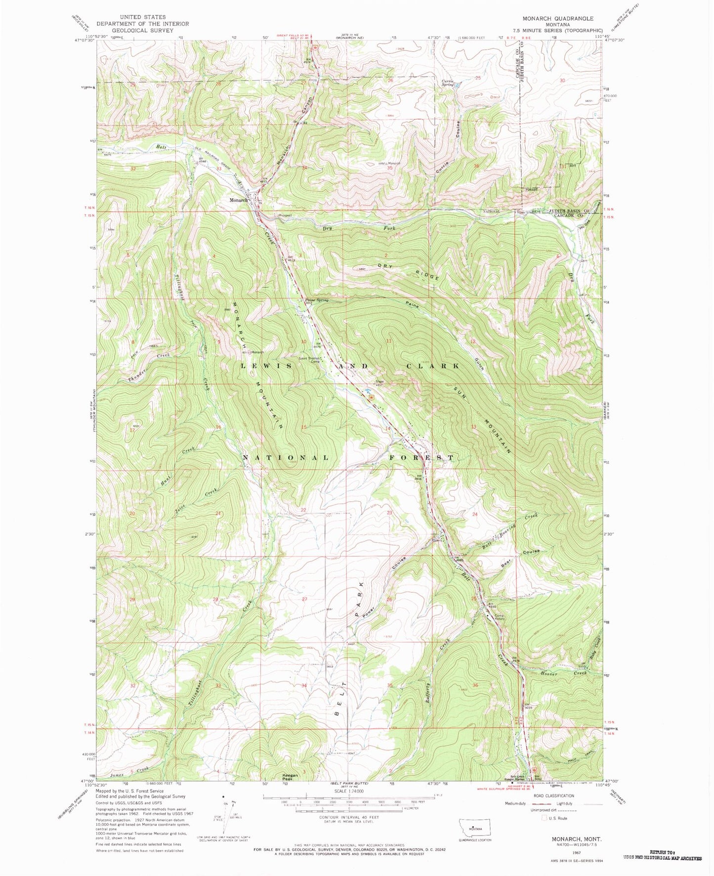
Classic USGS Monarch Montana 7.5'x7.5' Topo Map
Couldn't load pickup availability
Historical USGS topographic quad map of Monarch in the state of Montana. Map scale may vary for some years, but is generally around 1:24,000. Print size is approximately 24" x 27"
This quadrangle is in the following counties: Cascade, Judith Basin.
The map contains contour lines, roads, rivers, towns, and lakes. Printed on high-quality waterproof paper with UV fade-resistant inks, and shipped rolled.
Contains the following named places: Bear Coulee, Belt Creek Ranger Station, Belt Park, Belt Park School, Benton, Bull Roaring Creek, Burgys Spur, Camp Rotary, Crawford Creek, Currie Coulee, Currie Spring, DAV Park, Dry Fork Belt Creek, Dry Fork Road Cemetery, Dry Ridge, Hoover Creek, Hunt Creek, James Creek, Joice Creek, McGee Coulee, Monarch, Monarch Canyon, Monarch Census Designated Place, Monarch Mountain, Monarch Post Office, Monarch School, Monarch Volunteer Fire Department, Monarch-Neihart Division, NW NW Section 3 Mine, Paine Gulch, Paine Spring, Power Coulee, Power Coulee Quarry, Rafferty Creek, Rocky Mountain Elevator, Ruby Creek, Saint Clement Church, Saint Thomas Camp, Sun Mountain, Thunder Creek, Tillinghast, Tillinghast Creek, United Methodist Church, Yule School, Yules Spur, Yuleville, ZIP Code: 59463


