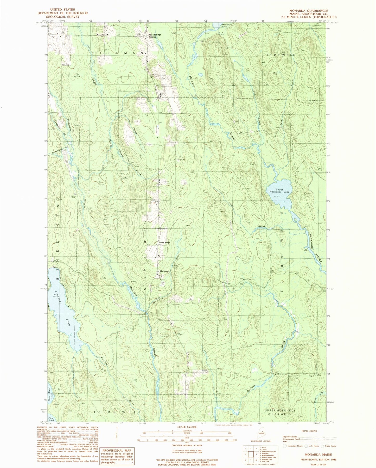
MyTopo
Classic USGS Monarda Maine 7.5'x7.5' Topo Map
Regular price
$16.95
Regular price
Sale price
$16.95
Unit price
per
Couldn't load pickup availability
Historical USGS topographic quad map of Monarda in the state of Maine. Map scale may vary for some years, but is generally around 1:24,000. Print size is approximately 24" x 27"
This quadrangle is in the following counties: Aroostook.
The map contains contour lines, roads, rivers, towns, and lakes. Printed on high-quality waterproof paper with UV fade-resistant inks, and shipped rolled.
Contains the following named places: Bear Brook, Burnham Brook, Connerly Brook, Dennitt Brook, Gross Brook, Haley Brook, Logan Brook, Lower Macwahoc Lake, Monarda, Plunkett Pond, Saint John Brook, Silver Ridge, Silver Ridge Cemetery, Silver Ridge Township, Spaulding Brook, Woodbridge Corner, ZIP Code: 04776